Wheeling in Ohio County, West Virginia — The American South (Appalachia)
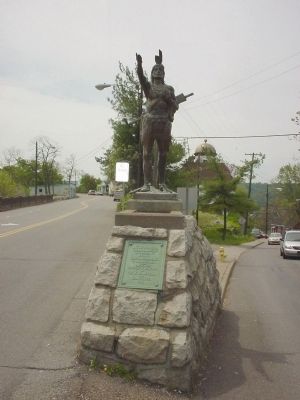
The Mingo
Photographed by Phyllis Prats, May 5, 2006
1. The Mingo Statue
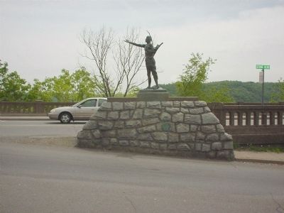
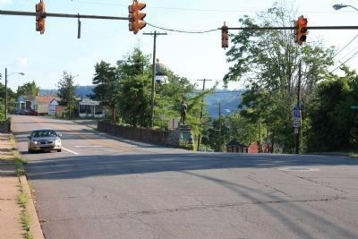
Stone Boulevard is on the left, National Road is on the right, heading west.
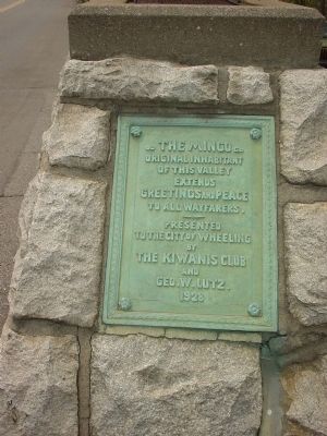
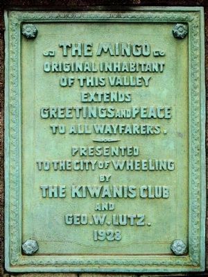
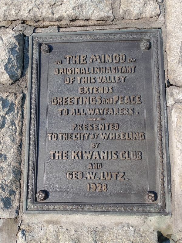
The Mingo, original inhabitant of this valley, extends greetings and peace to all wayfarers.
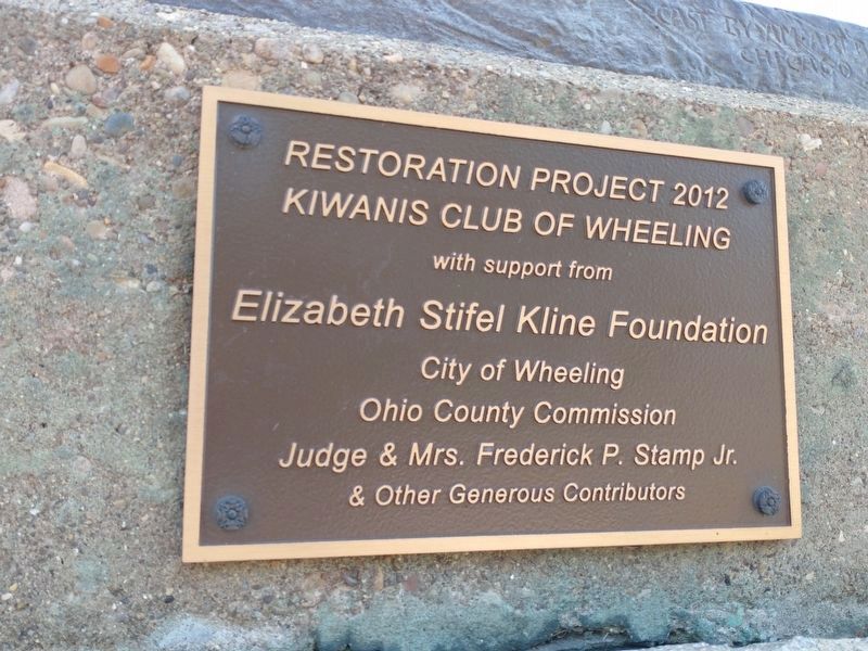
Erected 1928 by The Kiwanis Club and Geo. W. Lutz.
Topics. This historical marker is listed in these topic lists: Indigenous Peoples and Communities • Settlements & Settlers.
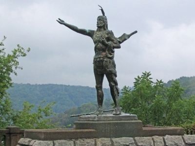
Location. 40° 4.753′ N, 80° 43.383′ W. Marker is in Wheeling, West Virginia, in Ohio County. It is at the intersection of National Road (U.S. 40) and Stone Boulevard and Mt. Wood Road and Pike Street, on the left when traveling west on National Road. Stone Boulevard starts at this intersection, veering off from National Road at a Y intersection. The statue is at the Y, facing north, with the National Road on its left and Stone Boulevard at its right. Touch for map. Marker is in this post office area: Wheeling WV 26003, United States of America. Touch for directions.

Regionally, this marker is in the Northern Panhandle and in the High Valley. It is also in the American South, specifically in the Upper South, in the Ohio River Valley, in Appalachia, and specifically in Northern Appalachia. Globally, it is in North America, the Western Hemisphere, the Western World, and the Anglosphere. Historically, it finds itself in what was once the territory of the Mississippian Culture.
Other nearby markers. At least 5 other markers are within walking distance of this marker: McColloch’s Leap
this page online
More about this marker. If you are traveling west on National Road you will see the statue in front of you as you approach the intersection.
Also see . . .
1. Mingo Indians. Historical references. (Submitted on May 10, 2006.)
2. Reexamining Wheeling’s Mingo Statue. Weelunk website entry (Submitted on December 14, 2022, by Larry Gertner of New York, New York.)
Photographed by Phyllis Prats, May 5, 2006
2. Brass Tablet at Base of Statue
Photographed by Phyllis Prats, May 5, 2006
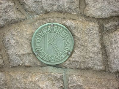
3. 10th Anniversary Kiwanis Club Plaque
This is on the right side of the base, facing National Road.
Photographed by Allen C. Browne, May 27, 2007
4. The Mingo Marker
Original Inhabitant
of this valley
Extends
Greetings and Peace
--
Presented
To the City of Wheeling
by
The Kiwanis Club
and
Geo. W. Lutz.
1928
Photographed by Craig Doda, July 3, 2021
5. The Mingo Marker
Photographed by Phyllis Prats, May 5, 2006
6. The Mingo Statue
Photographed by Dale K. Benington, July 26, 2010
7. The Mingo Marker
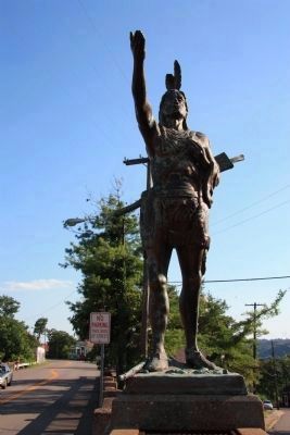
Close-up view of the statue of "The Mingo."
Photographed by Allen C. Browne, August 31, 2005
8. The Mingo Statue
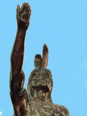
Photographed by Allen C. Browne, May 27, 2007
9. The Mingo
Photographed by Dale K. Benington, July 26, 2010
10. The Mingo Marker
A distant view of the historical marker with Stone Boulevard seen on the left and the National Road on the right, heading west.
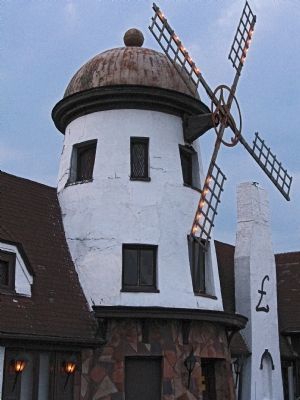
Photographed by Allen C. Browne, August 31, 2005
11. The Old Windmill Pub
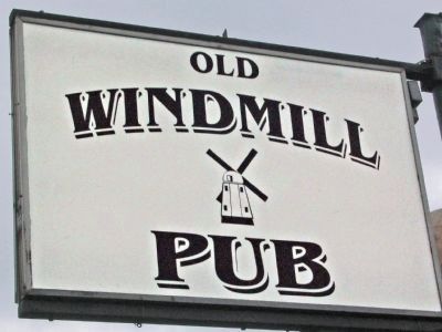
Photographed by Allen C. Browne, August 31, 2005
12. The Old Windmill Pub
Photographed by Craig Doda, July 3, 2021
13. The Mingo Marker
Credits. This page was last revised on September 29, 2024. It was originally submitted on May 10, 2006, by Phyllis Prats of Springfield, Virginia. This page has been viewed 3,975 times since then and 144 times this year. Photos: 1, 2, 3. submitted on May 10, 2006, by Phyllis Prats of Springfield, Virginia. 4. submitted on April 9, 2013, by Allen C. Browne of Silver Spring, Maryland. 5. submitted on July 7, 2021, by Craig Doda of Napoleon, Ohio. 6. submitted on May 10, 2006, by Phyllis Prats of Springfield, Virginia. 7. submitted on January 16, 2011, by Dale K. Benington of Toledo, Ohio. 8, 9. submitted on April 9, 2013, by Allen C. Browne of Silver Spring, Maryland. 10. submitted on January 16, 2011, by Dale K. Benington of Toledo, Ohio. 11, 12. submitted on April 9, 2013, by Allen C. Browne of Silver Spring, Maryland. 13. submitted on July 7, 2021, by Craig Doda of Napoleon, Ohio. • J. J. Prats was the editor who published this page.
