Near Rocky Ridge in Frederick County, Maryland — The American Northeast (Mid-Atlantic)
Old Frederick Road
A Short Night’s Rest
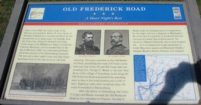
Late in June 1863, the Union Army of the Potomac pursued Gen. Robert E. Lee's Army of Northern Virginia as it invaded the North for the second time in as many years. On Sunday, June 28, Union Gen. Oliver O. Howard's XI Corps broke camp in the Middletown Valley, crossed the Catoctin Mountain, and bivouacked late in the day at Worman's Mill, two miles beyond Frederick at the junction of the Emmitsburg Turnpike. The men got a short night's rest, and they began marching north in the rain at 4 a.m. the next morning. The corps marched on the Old Frederick Road, paralleling the route of I Corps a mile west and that of the III and XII Corps and commanding Gen. George G. Meade to the east. Residents of the village of Graceham stood along the Old Frederick Road and greeted the marching men in blue at the road junction just north of here. Eighteen miles after breaking camp, the corps bivouacked in Emmitsburg.
After the Battle of Gettysburg, the Union V Corps and Meade traveled the Old Frederick Road as Lee retreated to Virginia. On July 5, Meade made his headquarters in Creagerstown for the night and sent a dispatch to Washington. He wrote that he would be in Frederick the next evening and asked that reinforcements "be thrown to Harper's Ferry by rail as soon as possible.... It is of importance to get possession of South Mountain passes and Maryland Heights." Despite Meade's efforts, however, Lee escaped.
Erected by Maryland Civil War Trails.
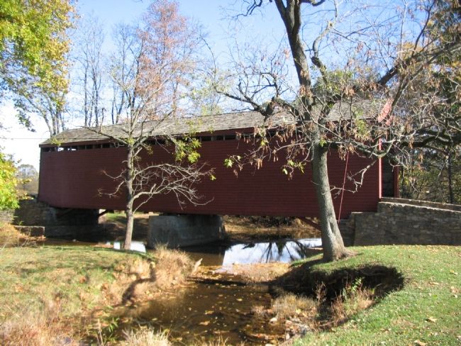
Topics and series. This historical marker is listed in this topic list: War, US Civil. In addition, it is included in the Covered Bridges series list. A significant historical month for this entry is June 1863.
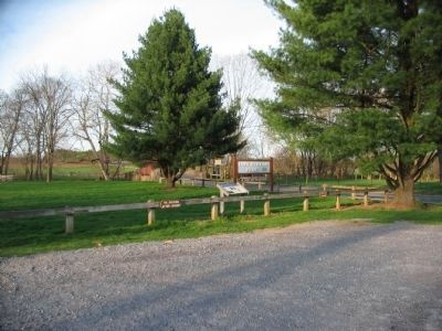
Location. 39° 36.493′ N, 77° 21.119′ W. Marker is near Rocky Ridge, Maryland, in Frederick County. Marker is on Old Frederick Road, on the right when traveling south. Located in Loy's Station Park parking lot, just off the road. Touch for map. Marker is in this post office area: Rocky Ridge MD 21778, United States of America. Touch for directions.
Other nearby markers. At least 8 other markers are within 4 miles of this marker, measured as the crow flies. Historic Buildings—Past and Present (approx. 3.2 miles away); Thurmont Attractions (approx. 3.2 miles away); Thurmont Rail History — The End of an Era (approx. 3.2 miles away); Thurmont Memorial Park (approx. 3.2 miles away); The Brotherhood of the Jungle Cock (approx. 3.3 miles away); Thurmont (approx. 3.4 miles away); a different marker also named Thurmont (approx. 3.4 miles away); Creeger House (approx. 3.4 miles away).
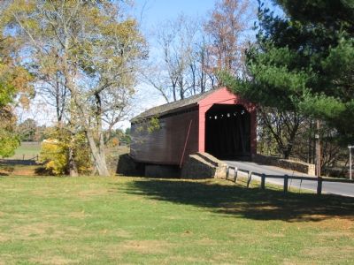
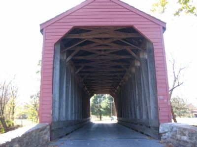
More about this marker. On the lower left of the marker is a photograph of "This 1848 covered bridge" which "is one of three remaining in Frederick
Photographed By Craig Swain, April 4, 2010
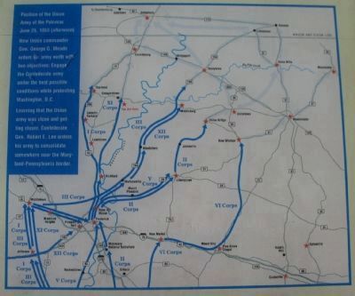
2. Gettysburg Campaign Map
Caption:
Position of the Union Army of the Potomac June 29, 1863 (afternoon). New Union commander Gen. George G. Meade orders his army north with two objectives: Engage the Confederate army under the best possible conditions while protecting Washington, D.C.
Learning that the Union army was close and getting closer, Confederate Gen. Robert E. Lee orders his army to concentrate somewhere near the Maryland-Pennsylvania border.
Also see . . . Loys Station Covered Bridge. Maryland Covered Bridges website entry (Submitted on February 26, 2022, by Larry Gertner of New York, New York.)
Additional keywords. Gettysburg Campaign
Credits. This page was last revised on June 12, 2022. It was originally submitted on November 11, 2007, by Craig Swain of Leesburg, Virginia. This page has been viewed 1,935 times since then and 43 times this year. Photos: 1. submitted on November 11, 2007, by Craig Swain of Leesburg, Virginia. 2, 3. submitted on July 5, 2010, by Craig Swain of Leesburg, Virginia. 4, 5, 6. submitted on November 11, 2007, by Craig Swain of Leesburg, Virginia.
