
Near Markleysburg in Fayette County, Pennsylvania — The American Northeast (Mid-Atlantic)
Braddock Road
Twelve Springs Camp
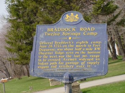
Photographed by J. J. Prats, April 11, 2006
1. Braddock Road - Twelve Springs Camp Marker
General Braddock's eighth camp, June 25, 1755, on the march to Fort Duquesne, was about half a mile S.W. Chestnut Ridge, seen on the horizon to the west, was the last mt. range to be crossed. Axemen widened an Indian path for passage of supply wagons and artillery over it.
Erected 1952 by Pennsylvania Historical and Museum Commission.
Topics and series. This historical marker is listed in these topic lists: Roads & Vehicles • War, French and Indian. In addition, it is included in the Braddock’s Road and Maj. Gen. Edward Braddock, and the Pennsylvania Historical and Museum Commission (PHMC) series lists. A significant historical month for this entry is June 1830.
Location. 39° 46.658′ N, 79° 30.036′ W. Marker is near Markleysburg, Pennsylvania, in Fayette County. It is on National Pike (U.S. 40) west of Pike School Road, on the right when traveling west. Touch for map. Marker is at or near this postal address: 4617 National Pike, Markleysburg PA 15459, United States of America. Touch for directions.

Regionally, this marker is in Pennsylvania’s Laurel Highlands. It is also in the American Northeast, in the Mid-Atlantic,
this page online
Other nearby markers. At least 5 other markers are within 4 miles of this marker, measured as the crow flies: The Polo Player (approx. 2.6 miles away); Fort Necessity (approx. 3.8 miles away); Markleysburg (approx. 3.8 miles away); Honor Roll (approx. 3.8 miles away); Preston County / Pennsylvania (approx. 4 miles away in West Virginia). Touch for a list and map of all markers in Markleysburg.
Regarding Braddock Road. There is a local road called Braddock Road that parallels this stretch of US 40 about a mile south. The camp was probably there.
Also see . . . John Kennedy Lacock's Braddock Road. Footnote 51 fixes the location of Twelve Springs Camp. (Submitted on May 13, 2006.)
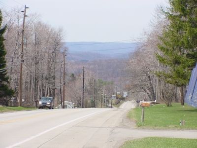
Photographed by J. J. Prats, April 11, 2006
2. The View West
Chestnut Ridge can be seen on the horizon.
Credits. This page was last revised on February 18, 2022. It was originally submitted on May 13, 2006, by J. J. Prats of Powell, Ohio. This page has been viewed 2,902 times since then and 39 times this year. Photos: 1, 2. submitted on May 13, 2006, by J. J. Prats of Powell, Ohio.
