Huntsville in Madison County, Alabama — The American South (East South Central)
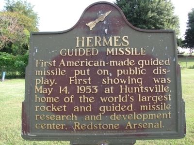
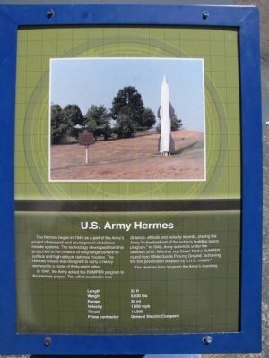
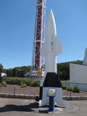
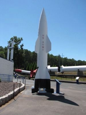
Hermes Guided Missile
Erected 1956 by Huntsville Chamber of Commerce.
Topics. This historical marker is listed in this topic list: Air & Space. A significant historical month for this entry is May 1791.
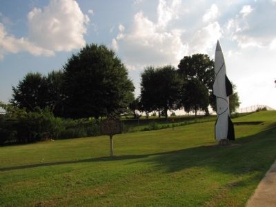
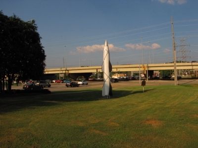
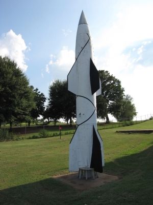
Location. 34° 41.4′ N, 86° 34.868′ W. Marker is in Huntsville, Alabama, in Madison County. Marker is at the intersection of Airport Road SW and Memorial Parkway SW (U.S. 231), on the right when traveling east on Airport Road SW. Marker and missile are located in the southwest corner of the intersection of the Memorial Parkway access road and Airport Road. Touch for map. Marker is in this post office area: Huntsville AL 35802, United States of America. Touch for directions.
Other nearby markers. At least 8 other markers are within 3 miles of this marker, measured as the crow flies. Camp Beaty Brahan Spring Park (approx. 1˝ miles away); Merrimack Mfg. Co. & Village / Joseph J. Bradley School (approx. 1.8 miles away); Fifth Avenue School (approx. 2 miles away); First Baptist Church Huntsville, Alabama (approx. 2.1 miles away); Site of the Huntsville Slave Cemetery (approx. 2.2 miles away); William Hooper Councill High School Site (approx. 2.2 miles away); Huntsville's First Black Women Voters (approx. 2.3 miles away); C.B. "Bill" Miller Bridge (approx. 2˝ miles away). Touch for a list and map of all markers in Huntsville.
Also see . . . Wikipedia entry for the Hermes project. (Submitted on August 27, 2010, by Lee Hattabaugh of Capshaw, Alabama.)
Credits. This page was last revised on June 16, 2016. It was originally submitted on August 27, 2010, by Lee Hattabaugh of Capshaw, Alabama. This page has been viewed 2,324 times since then and 49 times this year. Photos: 1, 2, 3, 4. submitted on August 27, 2010, by Lee Hattabaugh of Capshaw, Alabama. 5, 6, 7. submitted on September 9, 2010, by Lee Hattabaugh of Capshaw, Alabama. • Bill Pfingsten was the editor who published this page.
