Brookline near Battlefield in Greene County, Missouri — The American Midwest (Upper Plains)
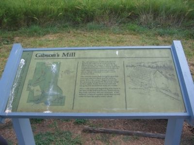
Gibson's Mill
Wilson's Creek
The Gibsons made their living by grinding corn and oats into flour, and by carding wool. When the cannon began to roar on the morning of August 10, they took refuge in their cellar. Today the house and mill are gone, but foundation ruins are visible.
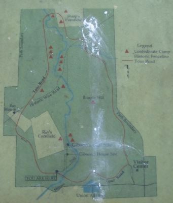
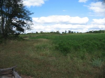
The 1-mile loop trail beginning here leads to the sites of the mill and house. Down along the creek you may also see remnants of the millrace, a narrow earthen canal that carried water to turn the mill's water wheel.
Topics. This historical marker is listed in this topic list: War, US Civil. A significant historical year for this entry is 1861.
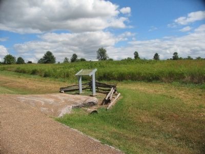
Location. 37° 6.919′ N, 93° 24.335′ W. Marker is near Battlefield, Missouri, in Greene County. It is in Brookline. Marker is on Tour Road, on the right when traveling east. Located at stop 1, Gibson's Mill, of the Wilson's Creek battlefield driving tour. Touch for map. Marker is in this post office area: Brookline MO 65619, United States of America. Touch for directions.
Other nearby markers. At least 8 other markers are within walking distance of this marker. Way to the Mill (about 500 feet away, measured in a direct line); Gibson's House Site (approx. 0.2 miles away); Signs From The Past (approx. 0.2 miles away); Gibson's Mill Site (approx. ¼ mile away); Battle's Beginning ... and End (approx. 0.6 miles away); Ray Springhouse (approx. 0.7 miles away); Fight in Ray's Cornfield (approx. 0.7 miles away); The Ray Family (approx. 0.7 miles away). Touch for a list and map of all markers in Battlefield.
Also see . . . Wilson's Creek National Battlefield Park. (Submitted on September 1, 2010, by Craig Swain of Leesburg, Virginia.)
Credits. This page was last revised on February 16, 2023. It was originally submitted on September 1, 2010, by Craig Swain of Leesburg, Virginia. This page has been viewed 1,253 times since then and 47 times this year. Photos: 1, 2, 3, 4. submitted on September 1, 2010, by Craig Swain of Leesburg, Virginia.


