Marker Logo HMdb.org THE HISTORICAL
MARKER DATABASE
“Bite-Size Bits of Local, National, and Global History”
Near Mormon Lake in Coconino County, Arizona — The American Mountains (Southwest)
 

Mormon Dairy


Mormon Dairy Marker image. Click for full size.
Photographed By Thomas Chris English, August 14, 2010
1. Mormon Dairy Marker
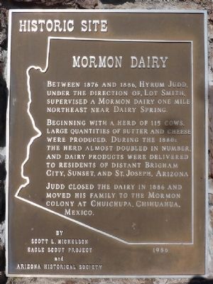
Inscription. Between 1876 and 1886, Hyrum Judd, under the direction of Lot Smith, supervised a Mormon Dairy one mile northeast near Dairy Spring.

Beginning with a herd of 115 cows, large quantities of butter and cheese were produced. During the 1880s the herd almost doubled in number and dairy products were delivered to residents of distant Brigham City, Sunset and St. Joseph, Arizona.

Judd closed the dairy in 1886 and moved his family to the Mormon colony at Chuichupa, Chihuahua, Mexico.
 
Erected 1986 by Scott L. Mickelson, Eagle Scout Project and Arizona Historical Society.
 
Topics. This historical marker is listed in these topic lists: AgricultureIndustry & CommerceSettlements & Settlers. A significant historical year for this entry is 1876.
 
Location. 34° 57.229′ N, 111° 28.925′ W. Marker is near Mormon Lake, Arizona, in Coconino County. Marker is on Mormon Lake Road (Route 90 at milepost 4), 3.9 miles south of Lake Mary Road (Route 3), on the right when traveling south. From North: 3.88 miles Sw of Mormon Lake Road (USFS 90) with Lake Mary Road (USFS 3)
From South: 5.9 miles NW of Junction of Lake Mary Road (USFS 3) on Mormon Lake Road. Touch for map. Marker is in this post office area: Mormon Lake AZ 86038, United States of America. Touch for directions.
 
More about this marker
Paid Advertisement
Click on the ad for more information.
Please report objectionable advertising to the Editor.
Click or scan to see
this page online
.
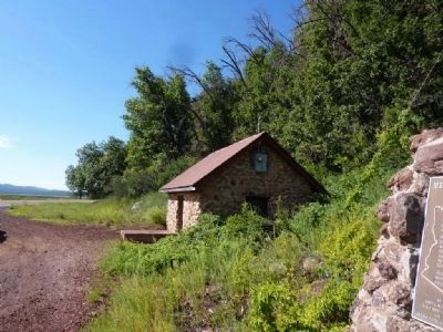
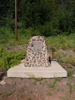
Marker is adjacent to a stone pump house supplying water for local enterprises.
 
Mormon Dairy Marker image. Click for full size.
Photographed By Thomas Chris English, August 14, 2010
2. Mormon Dairy Marker
Mormon Dairy Marker image. Click for full size.
Photographed By Thomas Chris English, August 14, 2010
3. Mormon Dairy Marker
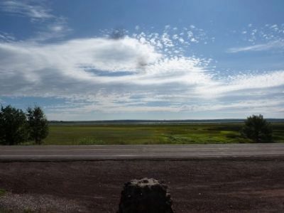
The View East from the Marker
Mormon Dairy Marker image. Click for full size.
Photographed By Thomas Chris English, August 14, 2010
4. Mormon Dairy Marker
The View South of the Marker - the adjacent stone water pump house.
Mormon Dairy Marker image. Click for full size.
Photographed By Thomas Chris English, August 14, 2010
5. Mormon Dairy Marker
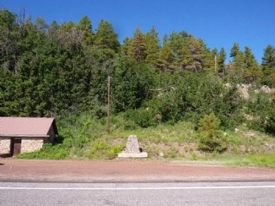
The View West across Coconino National Forest Road #90 - Mormon Lake Road.
Mormon Dairy Marker - Looking North from the Marker image. Click for full size.
Photographed By Thomas Chris English, August 14, 2010
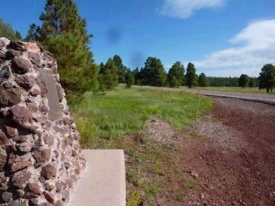
6. Mormon Dairy Marker - Looking North from the Marker
 
 
Credits. This page was last revised on July 26, 2018. It was originally submitted on September 1, 2010, by Chris English of Phoenix, Arizona. This page has been viewed 1,503 times since then and 30 times this year. Photos:   1, 2, 3, 4, 5, 6. submitted on September 1, 2010, by Chris English of Phoenix, Arizona. • Syd Whittle was the editor who published this page.
Share this page.  
Share on Tumblr
m=35187

CeraNet Cloud Computing sponsors the Historical Marker Database.
This website earns income from purchases you make after using our links to Amazon.com. We appreciate your support.
Paid Advertisement
Apr. 19, 2024