Brookline near Battlefield in Greene County, Missouri — The American Midwest (Upper Plains)
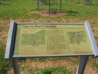
Fight in Ray's Cornfield
Wilson's Creek
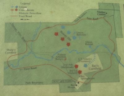
From the right came Captain Joseph B. Plummer's 300-man regular army battalion. Sent by General Lyon to secure the Federal left flank, Plummer had observed the Pulaski Arkansas artillery mauling the main Union line on Bloody Hill, and was moving to silence the battery. But to the left, about 900 Louisiana infantry and Arkansas dismounted riflemen stood in their way.
The clash was short and decisive. Confederate Colonel James McIntosh inspired a daring charge through the corn that sent the United States Regulars running back to the creek. Only the Union artillery on Bloody Hill kept the Southerners from annihilating Plummer's battalion.
Topics. This historical marker is listed in this topic list: War, US Civil. A significant historical year for this entry is 1861.
Location. 37° 6.424′ N, 93° 23.889′ W. Marker is near Battlefield, Missouri, in Greene County. It is in Brookline. Marker can be reached from Tour Road, on the left when traveling south. Located at stop 2, the Ray House, of the Wilson's Creek battlefield driving tour. Touch for map. Marker is in this post office area: Brookline MO 65619, United States of America. Touch for directions.
Other nearby markers. At least 8 other markers are within walking distance of this marker. The Ray Family (a few steps from this marker); Ray Springhouse (about 300 feet away, measured in a direct line); Pulaski Arkansas Battery (approx. half a mile away); A Union Plan / The Broken Pincer (approx. half a mile away); a different marker also named Pulaski Arkansas Battery (approx. 0.6 miles away); Price's Headquarters (approx. 0.6 miles away); Gibson's House Site (approx. 0.7 miles away); Gibson's Mill Site (approx. 0.7 miles away). Touch for a list and map of all markers in Battlefield.
Also see . . . Wilson's Creek National Battlefield Park. (Submitted on September 2, 2010, by Craig Swain of Leesburg, Virginia.)

Photographed By Craig Swain, August 29, 2010
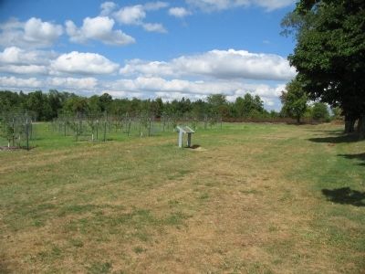
4. Ray's Cornfield
The springhouse is in center frame, at the break in the tree line. Beyond the tree line is the cornfield. Plummer's men advanced from the right side of this view into the open field, and were met by the Confederates moving up from the vicinity of the springhouse.
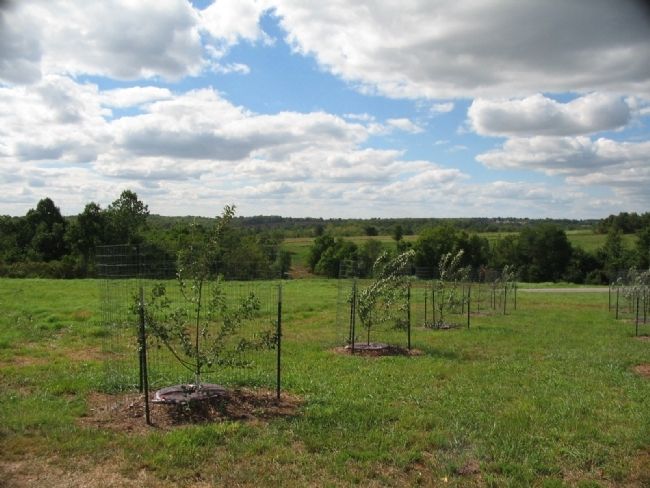
The Park Service is replanting the orchard that stood in front of the Ray House at the time of the battle.
The Park Service is replanting the orchard that stood in front of the Ray House at the time of the battle.
Credits. This page was last revised on February 16, 2023. It was originally submitted on September 2, 2010, by Craig Swain of Leesburg, Virginia. This page has been viewed 1,067 times since then and 18 times this year. Photos: 1, 2, 3, 4. submitted on September 2, 2010, by Craig Swain of Leesburg, Virginia.


