Near Battlefield in Greene County, Missouri — The American Midwest (Upper Plains)
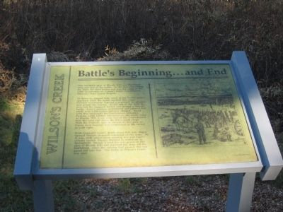
Battle's Beginning ... and End
Wilson's Creek
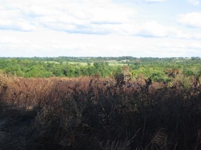
At dawn on August 10th, word of the Union army's approach from the north reached this camp. Colonel Cawthorne ordered a regiment to advance and contact the enemy. At the end of the field to your left the regiment halted and formed a line of battle. Lyon's artillery unlimbered and opened fire while over 1,200 Union infantry charged. Faced with this onslaught the Southerners retreated. Pushing aside further resistance on the north slope of Bloody Hill, Lyon soon forced the Confederates over the crest and down the hill's south slope. With the Federals now in control of this area, a Union field hospital was established in the ravine to your right.
With General Lyon's death about 9:30 a.m. Major Samuel Sturgis assumed command of the army. By 11 a.m., with ammunition running low and Sigel's column routed, Sturgis decided to withdraw to Springfield. Sturgis placed his rear guard on this spur of Bloody Hill and marched his army off the battlefield. Once the column had passed, the rear guard fell into line. The Battle of Wilson's Creek was over.
Topics. This historical marker is listed in this topic list: War, US Civil .
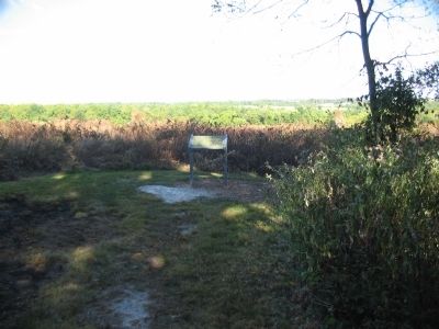
Location. 37° 6.708′ N, 93° 24.99′ W. Marker is near Battlefield, Missouri, in Greene County. Marker can be reached from Tour Road, on the right when traveling north. Located at stop 8, Historic Overlook, of the Wilson's Creek battlefield driving tour. Touch for map. Marker is in this post office area: Republic MO 65738, United States of America. Touch for directions.
Other nearby markers. At least 8 other markers are within walking distance of this marker. Bloody Hill (approx. 0.4 miles away); Signs From The Past (approx. 0.4 miles away); Gibson's Mill Site (approx. half a mile away); Gibson's House Site (approx. half a mile away); Death of Brigadier General Nathaniel Lyon (approx. half a mile away); Way to the Mill (approx. 0.6 miles away); Gibson's Mill (approx. 0.6 miles away); Missouri State Guard (approx. 0.7 miles away). Touch for a list and map of all markers in Battlefield.
Also see . . . Wilson's Creek National Battlefield Park. (Submitted on September 2, 2010, by Craig Swain of Leesburg, Virginia.)
Credits. This page was last revised on June 16, 2016. It was originally submitted on September 2, 2010, by Craig Swain of Leesburg, Virginia. This page has been viewed 1,334 times since then and 31 times this year. Photos: 1, 2, 3. submitted on September 2, 2010, by Craig Swain of Leesburg, Virginia.


