Near Garfield in Benton County, Arkansas — The American South (West South Central)
Getting Ready To Fight
March 6, 1862 - Late Afternoon
— Pea Ridge National Military Park —
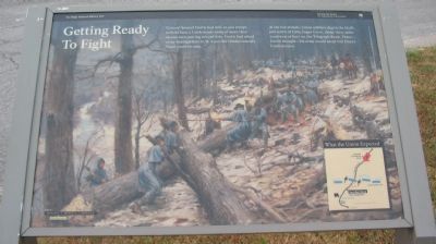
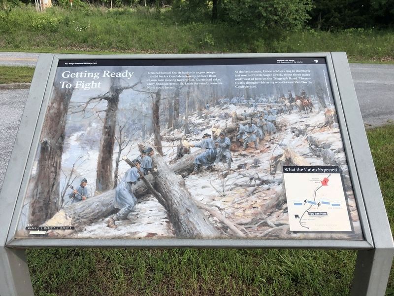
General Samuel Curtis had only 10,500 troops to hold back a Confederate army of more than 16,000 men moving toward him. Curtis had asked army headquarters in St. Louis for reinforcements. None could be sent.
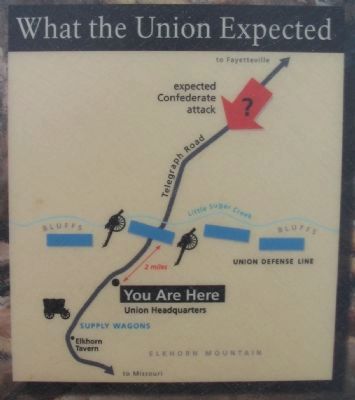
At the last minute, Union soldiers dug in the bluffs just north of Little Sugar Creek, about three miles southwest of here on the Telegraph Road. There - Curtis thought - his army would await Van Dorn's Confederates.
Erected by National Park Service, U.S. Department of the Interior.
Topics. This historical marker is listed in this topic list: War, US Civil.
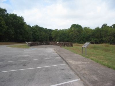
Location. 36° 26.451′ N, 94° 1.94′ W. Marker is near Garfield, Arkansas, in Benton County. Marker is on Military Park Road (County Road 65), on the right when traveling west. Located at stop two, Curtis's Headquarters, on the driving tour of Pea Ridge National Military Park. Touch for map. Marker is in this post office area: Garfield AR 72732, United States of America. Touch for directions.
Other nearby markers. At least 8 other markers are within walking distance of this marker. City of Soldiers (a few steps from this marker); The Enemy Is Behind Us! (within shouting distance of this marker); U.S. Army Headquarters 1862 (within shouting distance of this marker); They Passed This Way (approx. 0.2 miles away); That Beautiful Charge (approx. 0.6 miles away); "Dat De Shpot, Sergent!" (approx. 0.6 miles away); A Perfect Storm of Shot and Shell (approx. 0.8 miles away); Confederate Sunset (approx. 0.8 miles away). Touch for a list and map of all markers in Garfield.
Also see . . .
1. Pea Ridge National Military Park. (Submitted on September 9, 2010, by Craig Swain of Leesburg, Virginia.)
2. Pea Ridge (Elkhorn Tavern). American Battlefield Trust website entry (Submitted on May 8, 2021, by Larry Gertner of New York, New York.)
Credits. This page was last revised on June 19, 2023. It was originally submitted on September 9, 2010, by Craig Swain of Leesburg, Virginia. This page has been viewed 1,129 times since then and 12 times this year. Photos: 1. submitted on September 9, 2010, by Craig Swain of Leesburg, Virginia. 2. submitted on June 4, 2023, by Duane and Tracy Marsteller of Murfreesboro, Tennessee. 3. submitted on September 9, 2010, by Craig Swain of Leesburg, Virginia. 4. submitted on September 8, 2010, by Craig Swain of Leesburg, Virginia.


