Salisbury in Rowan County, North Carolina — The American South (South Atlantic)
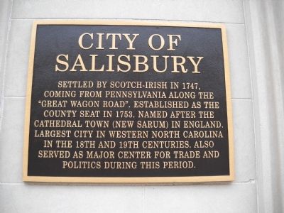
City of Salisbury
Photographed by Bill Coughlin, August 2, 2010
1. City of Salisbury Marker
Erected 2006 by City of Salisbury.
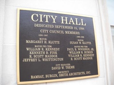
Topics. This historical marker is listed in these topic lists: Colonial Era • Settlements & Settlers. A significant historical date for this entry is September 15, 1998.
Location. 35° 39.962′ N, 80° 28.286′ W. Marker is in Salisbury, North Carolina, in Rowan County. It is on S Main Street (U.S. 70), on the right when traveling north. Markers are located in front of Salisbury City Hall. Touch for map. Marker is in this post office area: Salisbury NC 28144, United States of America. Touch for directions.

Regionally, this marker is in the Piedmont and in Greater Charlotte. It is also in the American South and specifically in the Upper South. Globally, it is in North America, the Western Hemisphere, the Western World, and the Anglosphere. Historically, it finds itself
this page online
Other nearby markers. At least 8 other markers are within walking distance of this marker: Meroney’s Theatre (a few steps from this marker); Andrew Jackson (within shouting distance of this marker); Crossroads: Past Into Present (about 400 feet away, measured in a direct line); Cotton Mills Corner (about 500 feet away); Salisbury Cotton Mills (about 500 feet away); Macay Law Office (about 600 feet away); Town Well (about 600 feet away); The Travelers' Club (about 600 feet away). Touch for a list and map of all markers in Salisbury.
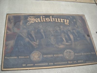
More about this marker. The Sister Cities plaque contains an image of representatives of the two cities signing the Joint Resolution on May 14, 2001. It features the seals of the cities in Wiltshire, England and North Carolina, USA.
Photographed by Bill Coughlin, August 2, 2010
2. Second Plaque
Photographed by Bill Coughlin, August 2, 2010
3. Sister Cities Plaque
Photographed by Bill Coughlin, August 2, 2010
4. Salisbury Markers
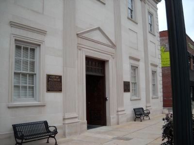
Markers can be seen here on either side of the entrance to City Hall. The Sister Cities marker is on the sidewalk.
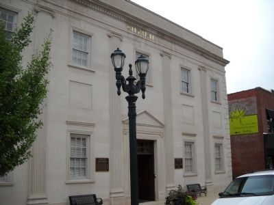
Photographed by Bill Coughlin, August 2, 2010
5. Markers at Salisbury City Hall
Credits. This page was last revised on June 23, 2021. It was originally submitted on September 12, 2010, by Bill Coughlin of Woodland Park, New Jersey. This page has been viewed 1,914 times since then and 54 times this year. Photos: 1, 2, 3, 4, 5. submitted on September 12, 2010, by Bill Coughlin of Woodland Park, New Jersey.
