Chambersburg in Franklin County, Pennsylvania — The American Northeast (Mid-Atlantic)
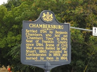
Chambersburg
Chambers, who laid out
“Chambers Town” in 1764.
Seat of Franklin County
since 1784. Scene of Civil
War events: Raided by “Jeb”
Stuart, 1862; occupied by
Confederates in 1863; and
burned by them in 1864.
Erected 1948 by Pennsylvania Historical and Museum Commission.
Topics and series. This historical marker is listed in these topic lists: Colonial Era • Settlements & Settlers • War, US Civil. In addition, it is included in the Pennsylvania Historical and Museum Commission series list. A significant historical year for this entry is 1734.
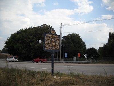
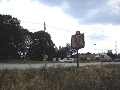
Location. 39° 55.773′ N, 77° 38.212′ W. Marker is in Chambersburg, Pennsylvania, in Franklin County. Marker is on Lincoln Highway (U.S. 30), on the right when traveling west. Touch for map. Marker is at or near this postal address: 1121 Lincoln Hwy, Chambersburg PA 17201, United States of America. Touch for directions.
Other nearby markers. At least 8 other markers are within 2 miles of this marker, measured as the crow flies. Patrick Gass (approx. 0.4 miles away); Messersmith's Woods (approx. 0.4 miles away); Gettysburg Campaign (approx. half a mile away); Franklin County World War I Memorial (approx. 0.8 miles away); Israel Benevolent Society Cemetery (approx. one mile away); Donald "Mike" Waters Memorial Playground (approx. 1.3 miles away); Chambersburg Market House (approx. 1.3 miles away); Masonic Temple (approx. 1.3 miles away). Touch for a list and map of all markers in Chambersburg.
Also see . . . Welcome to the Borough of Chambersburg. Official Website (Submitted on July 19, 2011, by Mike Wintermantel of Pittsburgh, Pennsylvania.)
Credits. This page was last revised on June 16, 2016. It was originally submitted on September 16, 2010, by Bill Coughlin of Woodland Park, New Jersey. This page has been viewed 944 times since then and 30 times this year. Photos: 1, 2, 3. submitted on September 16, 2010, by Bill Coughlin of Woodland Park, New Jersey.


