Lexington in Fayette County, Kentucky — The American South (East South Central)
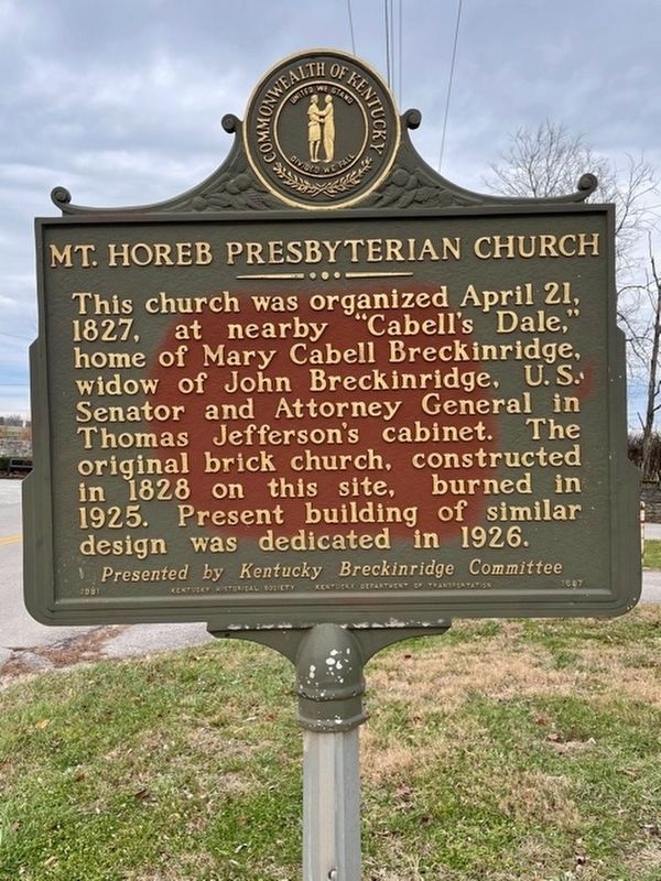
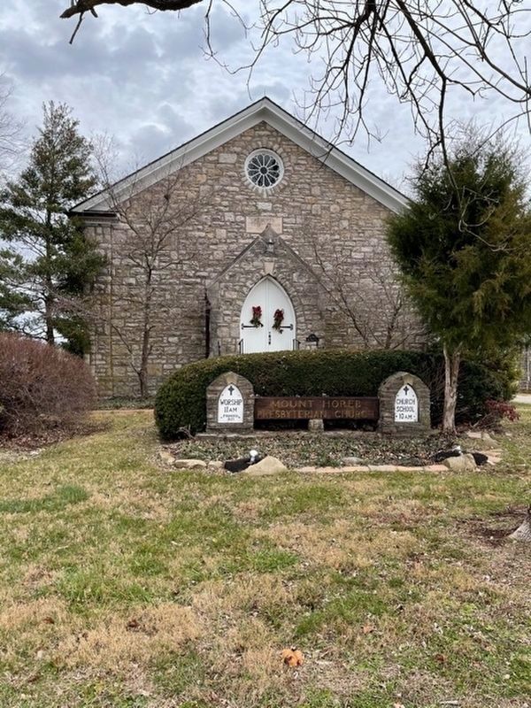
Mt. Horeb Presbyterian Church
Erected 1981. (Marker Number 1687.)
Topics and series. This historical marker is listed in this topic list: Churches & Religion. In addition, it is included in the Former U.S. Presidents: #03 Thomas Jefferson, and the Kentucky Historical Society series lists. A significant historical date for this entry is April 21, 1630.
Location. 38° 7.848′ N, 84° 28.99′ W. Marker is in Lexington, Kentucky, in Fayette County. Marker is at the intersection of Iron Works Pike (County Route 1973) and Mount Horeb Pike, on the left when traveling east on Iron Works Pike. At Church, Iron Works Pike at Mt. Horeb Pike, Lexington. Touch for map. Marker is in this post office area: Lexington KY 40511, United States of America. Touch for directions.
Other nearby markers. At least 8 other markers are within 3 miles of this marker, measured as the crow flies. Wing Commander / Famous Saddle Horse (about 300 feet away, measured in a direct line); Glengarry Field-Cool Meadow / Fasig-Tipton Since 1898 (approx. 1.4 miles away); Dr. Robert Peter (approx. 1.7 miles away); Maddoxtown (approx. 1.8 miles away); The Years at Stud (approx. 2.4 miles away); Will Harbut and Man o' War (approx. 2.4 miles away); Man o' War (approx. 2.4 miles away); The Race He Lost (approx. 2.4 miles away). Touch for a list and map of all markers in Lexington.
Credits. This page was last revised on December 21, 2020. It was originally submitted on September 17, 2010, by Matt Carter of Lexington, Kentucky. This page has been viewed 1,432 times since then and 36 times this year. Photos: 1, 2, 3. submitted on December 20, 2020, by Frank Profitt of Georgetown, Kentucky. • Bill Pfingsten was the editor who published this page.


