Mount Pleasant in Charleston County, South Carolina — The American South (South Atlantic)
Shell Rings and Shell Middens
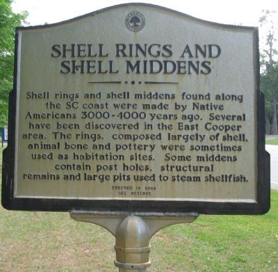
Shell rings and shell middens found along the SC coast were made by Native Americans 3000-4000 years ago. Several have been discovered in the East Cooper area. The rings, composed largely of shell, animal bone and pottery were sometimes used as habitation sites. Some middens contain post holes, structural remains and large pits used to steam shellfish.
(Reverse):
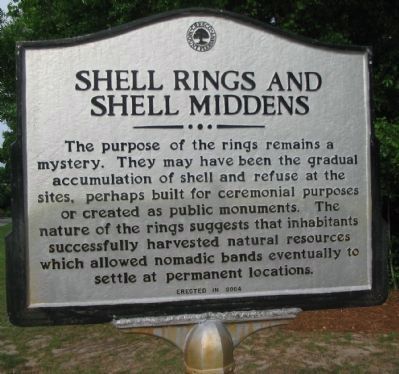
The main purpose of the rings remains a mystery. They may have been the gradual accumulation of shell and refuse at the sites, perhaps built for ceremonial purposes or created as public monuments. The nature of the rings suggests that inhabitants successfully harvested natural resources which allowed nomadic bands eventually to settle at permanent locations.
Erected 2004.
Topics. This historical marker is listed in these topic lists: Man-Made Features • Native Americans.
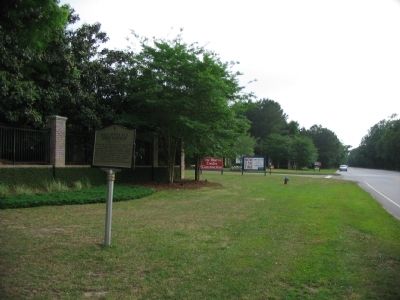
Location. 32° 51.168′ N, 79° 46.904′ W. Marker is in Mount Pleasant, South Carolina, in Charleston County. Marker is at the intersection of Rifle Range Road (State Highway S10-51) and Old Marsh Parkway, on the right when traveling east on Rifle Range Road. Touch for map. Marker is in this post office area: Mount Pleasant SC 29466, United States of America. Touch for directions.
Other nearby markers. At least 8 other markers are within 3 miles of this marker, measured as the crow flies. Sweetgrass Baskets (approx. 1.1 miles away); Brickyard Plantation (approx. 1.2 miles away); Confederate Lines (approx. 1.9 miles away); Snee Farm (approx. 2 miles away); Christ Church (approx. 2 miles away); a different marker also named Christ Church (approx. 2 miles away); Boone Hall Plantation (approx. 2.1 miles away); Charles Pinckney (approx. 2˝ miles away). Touch for a list and map of all markers in Mount Pleasant.
Credits. This page was last revised on November 2, 2020. It was originally submitted on June 14, 2010, by Craig Swain of Leesburg, Virginia. This page has been viewed 1,623 times since then and 38 times this year. Last updated on September 19, 2010, by Gerig M. Huggins of Mount Pleasant, South Carolina. Photos: 1, 2, 3. submitted on June 14, 2010, by Craig Swain of Leesburg, Virginia.


