Near La Marque in Galveston County, Texas — The American South (West South Central)
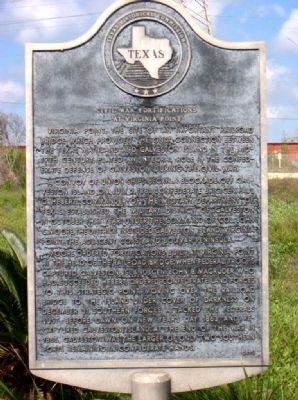
Civil War Fortifications at Virginia Point
A convoy of Union ships began a blockade off Galveston Island on July 2, 1861. Confederate Brig. Gen. Paul O. Hebert, commander of the Military Department of Texas, established the Military District of Galveston in October that year. Under the command of Col. John C. Moore, the district included Galveston Island, Virginia Point, the adjacent coast, and Bolivar Peninsula.
Moore ordered fortifications built at Virginia Point at the head of the railroad bridge. When Federal troops captured Galveston Island, Gen. John B. Magruder, who had succeeded Hebert, ordered Confederate land forces to this strategic point. Moving over the railroad bridge to the island under cover of darkness on December 31, southern forces attacked the Federals just before dawn on New Year's Day 1863 and recaptured Galveston Island. At the end of the war in 1865, Galveston was the larger of only two southern ports remaining in Confederate hands. Incise on reverse: Researched by Ft. Virginia Point Chapter, United Daughters of the Confederacy.
Erected 1991 by Texas Historical Commission. (Marker Number 8233.)
Topics and series. This historical marker is listed in these topic lists: Forts and Castles • Railroads & Streetcars • War, US Civil. In addition, it is included in the United Daughters of the Confederacy series list. A significant historical month for this entry is July 1862.
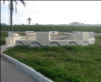
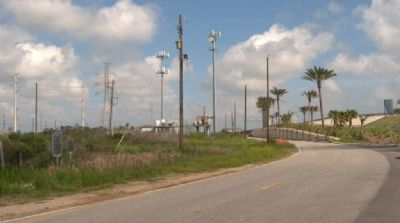
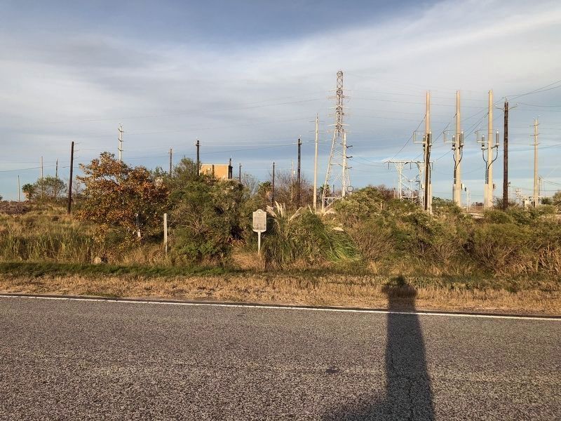
Location. Marker has been reported missing. It was located near 29° 18.247′ N, 94° 54.117′ W. Marker was near La Marque, Texas, in Galveston County. Marker was on Interstate 45 Frontage Road, on the left when traveling south. At the north end of the highway causeway (bridge) to Galveston Island, on the east frontage road. Touch for map. Marker was in this post office area: La Marque TX 77568, United States of America. Touch for directions.
Other nearby markers. At least 8 other markers are within 5 miles of this location, measured as the crow flies. Campbell's Bayou (here, next to this marker); The Galveston Daily News (approx. 2.6 miles away); Galveston "News", C.S.A. (approx. 2.6 miles away); Site of Magnolia Grove Cemetery (approx. 3.8 miles away); Valentine T. Dalton (approx. 4.8 miles away); The Italian Vault (approx. 4.8 miles away); Greek Orthodox Cemetery (approx. 4.9 miles away); Rosewood Cemetery (approx. 5 miles away).
Credits. This page was last revised on August 27, 2020. It was originally submitted on September 19, 2010, by Gregory Walker of La Grange, Texas. This page has been viewed 2,195 times since then and 71 times this year. Photos: 1. submitted on September 19, 2010, by Gregory Walker of La Grange, Texas. 2. submitted on November 29, 2011, by Jim Evans of Houston, Texas. 3. submitted on September 19, 2010, by Gregory Walker of La Grange, Texas. 4. submitted on December 20, 2018, by Brian Anderson of Humble, Texas. • Craig Swain was the editor who published this page.


