Ehrenberg in La Paz County, Arizona — The American Mountains (Southwest)
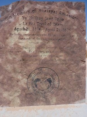
In Memory of Hualapai Ancestors
Yu’ Nyihay Jamj Vo:jo
— La Paz Trail of Tears - April 21, 1874 – April 21, 1875 —
Erected by Hualapai Indian Tribe.
Topics. This historical marker is listed in these topic lists: Native Americans • Wars, US Indian.
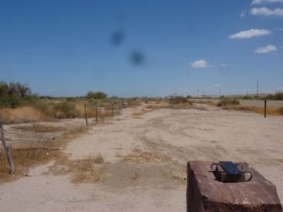
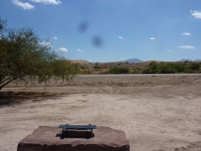
Location. 33° 40.612′ N, 114° 28.763′ W. Marker is in Ehrenberg, Arizona, in La Paz County. Marker is on Poston Road/Mohave Drive (Arizona Route 1 at milepost 3), 6 miles north of Interstate 10, on the left when traveling north. Touch for map. Marker is in this post office area: Ehrenberg AZ 85334, United States of America. Touch for directions.
Other nearby markers. At least 6 other markers are within 11 miles of this marker, measured as the crow flies. Palo Verde Irrigation District Diversion Dam (approx. 4.3 miles away in California); Blythe Intake (approx. 4.3 miles away in California); Pioneer Cemetery (approx. 5½ miles away); Ehrenberg Cemetery (approx. 5.6 miles away); Giant Desert Figures (approx. 9 miles away in California); Desert Strike (approx. 11.1 miles away in California).
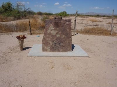
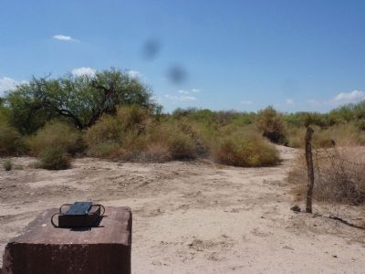
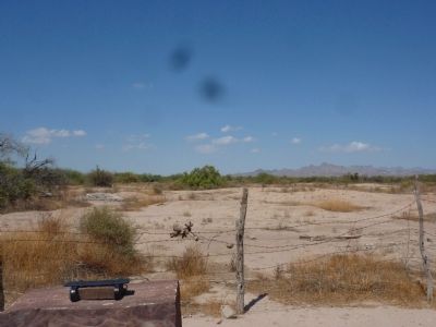
More about this marker. The marker is a sandstone block with the memorial words sand blasted into it. There are some innocuous containers around for flowers and other memory items.
Regarding In Memory of Hualapai Ancestors. Formerly known as Pot Holes, the town of La Paz grew up in 1862 to serve gold miners in the vicinity. La Paz was a stage stop between Fort Whipple, Arizona and San Bernardino, California. It was the county seat of Yuma County from 1862 to 1870. The gold was gone by 1863, but La Paz stayed as a shipping port and supply base until the Colorado River shifted its course westward in 1866, leaving La Paz landlocked.
In 1874, after nine years of running battle with the Hualapai Indians, the U.S. Army decided to make use of deserted La Paz, now on the Colorado River Indian Reservation, inhabited, in part by Hualapai traditional enemies, the Mohave. The Hualapai were rounded up and marched from Fort Beale in Kingman to La Paz, approximately 160 miles. General George Crook noted the Hualapai, mountain Indians, suffered terribly in the heat and desert conditions of the Lower Colorado River. After a year, the Hualapai returned to their homeland between the Bill Williams River and Grand Canyon and were spared further military action.
An excellent general account of historical events of the Hualapai and their reservation is found in the 1975 U.S. Bicentennial publication, "Peach Springs in Mohave County" by Roman Malach, former Mohave County Historian.
Our thanks to Richard Powskey, former Hualapai Tribal Council member and one of today's Hualapais making the annual memorial run from the Hualapai homeland to La Paz.
Related marker. Click here for another marker that is related to this marker. To better understand the relationship, study each marker in the order shown.
Also see . . .
1. La Paz Arizona Wikipedia Page. (Submitted on September 15, 2010.)
2. Ghost Towns Dot Com La Paz Arizona Page. Has La Paz photos from various decades. (Submitted on September 15, 2010.)
3. Historic Beale Springs/Fort Beale, Kingman Arizona Historic District Pages. Fort Beale was the starting point of the walk to La Paz. (Submitted on September 20, 2010.)
Credits. This page was last revised on August 29, 2020. It was originally submitted on September 15, 2010. This page has been viewed 3,349 times since then and 193 times this year. Last updated on September 21, 2010. Photos: 1, 2, 3, 4, 5, 6. submitted on September 15, 2010. • Syd Whittle was the editor who published this page.
