Near Oakville in Lawrence County, Alabama — The American South (East South Central)
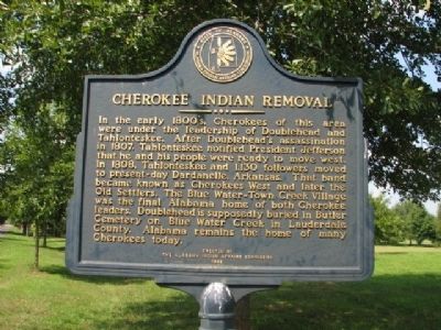
Cherokee Indian Removal
Erected by Lawrence County Historical Commission Inc.
Topics and series. This historical marker is listed in this topic list: Native Americans. In addition, it is included in the Former U.S. Presidents: #03 Thomas Jefferson series list. A significant historical year for this entry is 1807.
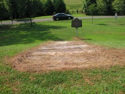
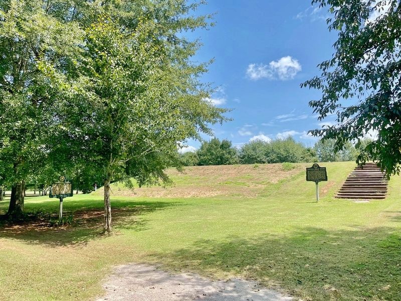
Location. 34° 26.536′ N, 87° 10.725′ W. Marker is near Oakville, Alabama, in Lawrence County. Located inside Oakville Indian Mound Park near Oakville Indian Mound. Touch for map. Marker is in this post office area: Danville AL 35619, United States of America. Touch for directions.
Other nearby markers. At least 8 other markers are within walking distance of this marker. Creek Indian Removal (a few steps from this marker); Oakville Indian Mound (a few steps from this marker); Streight's Raid (about 300 feet away, measured in a direct line); Cherokee Council House Museum (about 700 feet away); Doublehead (about 700 feet away); Town of Oakville (approx. 0.2 miles away); Historic Indians (approx. ¼ mile away); Copena Burial Mound (approx. ¼ mile away). Touch for a list and map of all markers in Oakville.
Also see . . . Wikipedia article on the Cherokee. (Submitted on March 6, 2010, by Sandra Hughes Tidwell of Killen, Alabama, USA.)
Credits. This page was last revised on August 27, 2021. It was originally submitted on March 4, 2010, by Sandra Hughes Tidwell of Killen, Alabama, USA. This page has been viewed 1,870 times since then and 26 times this year. Last updated on September 21, 2010, by Sandra Hughes Tidwell of Killen, Alabama, USA. Photos: 1. submitted on March 4, 2010, by Sandra Hughes Tidwell of Killen, Alabama, USA. 2. submitted on September 21, 2010, by Sandra Hughes Tidwell of Killen, Alabama, USA. 3. submitted on August 27, 2021, by Mark Hilton of Montgomery, Alabama. • Bill Pfingsten was the editor who published this page.


