Near Spotsylvania Courthouse in Spotsylvania County, Virginia — The American South (Mid-Atlantic)
Hazel Grove
The Battle of Chancellorsville
— Fredericksburg and Spotsylvania National Military Park —
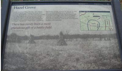
On the morning of May 3, this large, open plateau, known as "Hazel Grove," was the key to the Union position. "Stonewall" Jackson's flank attack the evening before had staggered the Union army but had not seriously damaged it. As the new day dawned, the Confederate army found itself divided, with Hooker holding the high ground - Hazel Grove - in between.
Had Hooker strongly defended the plateau, he could have kept the Confederate army separated and defeated it one piece at a time. But the Union leader had lost his will to fight. Before dawn he ordered his troops toward Chancellorsville, forfeiting the most important position on the battlefield.
There has rarely been a more gratuitous gift of a battle-field.
Col. E. Porter Alexander, CSA
Erected by National Park Service, U.S. Department of the Interior.
Topics. This historical marker is listed in this topic list: War, US Civil. A significant historical date for this entry is May 3, 1703.
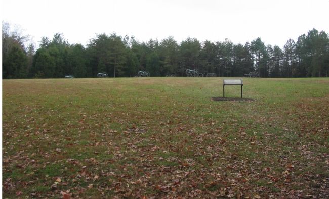
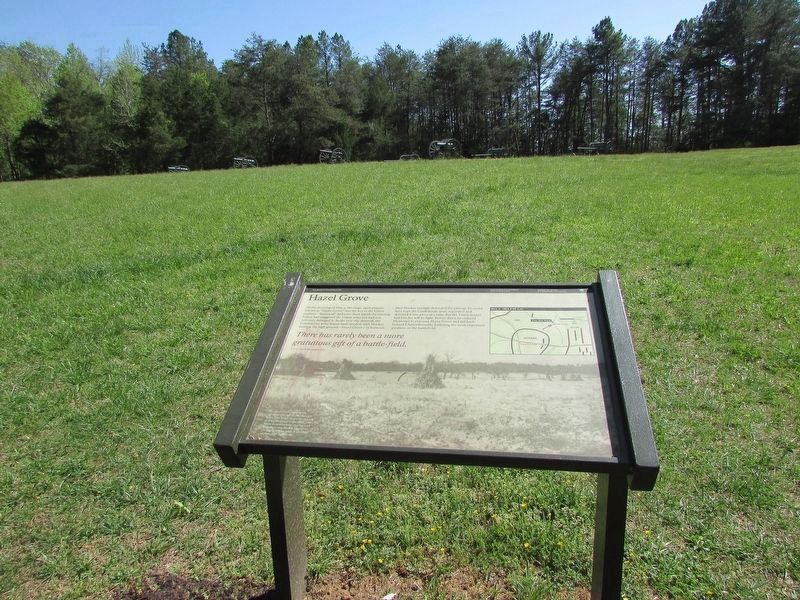
Location. 38° 18.212′ N, 77° 39.082′ W. Marker is near Spotsylvania Courthouse, Virginia, in Spotsylvania County. Marker is on Stuart Drive, on the right when traveling south. Located at stop nine of the driving tour of Chancellorsville Battlefield. The marker also serves as the starting point for a seven stop, one mile walking tour of the Hazel Grove - Fairview area of the battlefield. Touch for map. Marker is in this post office area: Spotsylvania VA 22553, United States of America. Touch for directions.
Other nearby markers. At least 8 other markers are within walking distance of this marker. A Very Hot Place (within shouting distance of this marker); Lee Renews the Attack (within shouting distance of this marker); Hazel Grove—Fairview Trail (within shouting distance of this marker); Bloody Morning (approx. ¼ mile away); Night-time Horror (approx. ¼ mile away); The 27th Indiana Infantry (approx. 0.3 miles away); Chancellorsville Campaign (approx. 0.3 miles away); Elisha Franklin Paxton (approx. 0.4 miles away). Touch for a list and map of all markers in Spotsylvania Courthouse.
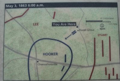
More about this marker. The background image on the marker is "The Hazel Grove clearing" which was "significantly larger in 1863 than it is today. This image shows the clearing as it appeared late in the 1800s. The house from which the clearing took its name is near the left edge of the photograph. Now gone, it stood 250 yards to your right front." A map shows the tactical situation in the battle at 6:00 a.m. on May 3, 1863.
Regarding Hazel Grove. This marker serves as the "trail head" for a virtual tour of the Hazel Grove and Fairview portions of the battlefield (stops nine and ten on the driving tour of the battlefield). Markers along this tour include those on Stuart and Slocum Drives. See the Related Markers section for a full listing. Or the Hazel Grove-Fairview Virtual Tour by Markers link below.
Related markers. Click here for a list of markers that are related to this marker. Virtual Tour by Markers of the Hazel Grove-Fairview Sites.
Also see . . .
1. Battle of Chancellorsville. National Park Service site. (Submitted on November 17, 2007, by Craig Swain of Leesburg, Virginia.)
2. Hazel Grove - Fairview Virtual Tour by Markers. The Hazel Grove and Fairview portions of the battlefield (stops nine and ten on the driving tour of the battlefield). Markers along this tour include those on Stuart and Slocum Drives. (Submitted on November 18, 2007, by Craig Swain of Leesburg, Virginia.)
3. Other Chancellorsville Virtual Tours by Markers. Links to other "trail heads" for the virtual tours. (Submitted on November 18, 2007, by Craig Swain of Leesburg, Virginia.)
Credits. This page was last revised on April 25, 2023. It was originally submitted on November 17, 2007, by Craig Swain of Leesburg, Virginia. This page has been viewed 1,817 times since then and 30 times this year. Photos: 1, 2, 3. submitted on November 17, 2007, by Craig Swain of Leesburg, Virginia. 4. submitted on April 24, 2023, by Bill Coughlin of Woodland Park, New Jersey.


