Inman Park in Atlanta in Fulton County, Georgia — The American South (South Atlantic)
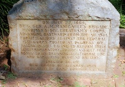
Brig. Gen. A. M. Manigaultís Brigade
Erected by the Old Guard of Atlanta -- 1934 Dedicated by Camp Gordon S.C.V.
Erected 1934 by Old Guard of Atlanta.
Topics and series. This historical marker is listed in this topic list: War, US Civil. In addition, it is included in the Sons of Confederate Veterans/United Confederate Veterans series list. A significant historical month for this entry is July 1900.
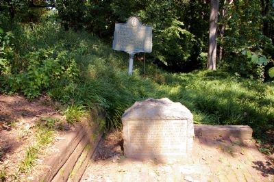
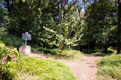
Location. 33° 45.383′ N, 84° 21.433′ W. Marker is in Atlanta, Georgia, in Fulton County. It is in Inman Park. Marker is at the intersection of Waverly Way and Edgewood Avenue, on the right when traveling north on Waverly Way. The monument is down a flight of steps into Springvale Park from the sidewalk at the intersecton. Touch for map. Marker is in this post office area: Atlanta GA 30307, United States of America. Touch for directions.
Other nearby markers. At least 8 other markers are within walking distance of this marker. Springvale Park (a few steps from this marker); Brownís & Claytonís Divs. (about 700 feet away, measured in a direct line); Baker's Brigade (approx. 0.2 miles away); The Railroad Cut (approx. ľ mile away); Site: The Pope House (approx. ľ mile away); The 15th Corps Sector (approx. 0.3 miles away); Manigault's Brigade (approx. 0.3 miles away); The Troup Hurt House (approx. 0.4 miles away). Touch for a list and map of all markers in Atlanta.
Credits. This page was last revised on February 8, 2023. It was originally submitted on September 23, 2010, by David Seibert of Sandy Springs, Georgia. This page has been viewed 1,196 times since then and 21 times this year. Photos: 1, 2, 3, 4. submitted on September 23, 2010, by David Seibert of Sandy Springs, Georgia. • Craig Swain was the editor who published this page.


