Horsehead in Prince George's County, Maryland — The American Northeast (Mid-Atlantic)
Immanuel Church
Horsehead, Maryland
| — | 1879 Centennial 1979 (Built 1879 - Burned, Rebuilt 1896) | — |
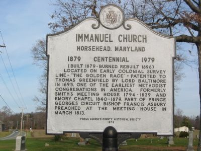
Photographed by F. Robby, December 2, 2004
1. Immanuel Church Marker
Erected 1979 by Prince George's County Historical Society.
Topics and series. This historical marker is listed in these topic lists: Colonial Era • Religion & Religious Structures • Settlements & Settlers. In addition, it is included in the Francis Asbury, Traveling Methodist Preacher series list. A significant historical month for this entry is March 1813.
Location. 38° 39.07′ N, 76° 46.302′ W. Marker is in Horsehead, Maryland, in Prince George's County. It is on Aquasco Road (Maryland Route 381) 0.1 miles north of Horsehead Road, on the right when traveling north. Touch for map. Marker is in this post office area: Brandywine MD 20613, United States of America. Touch for directions.

Regionally, this marker is in the Washington Metropolitan Area. It is also in the American South,
this page online
Other nearby markers. At least 8 other markers are within 5 miles of this marker, measured as the crow flies: St. Paul's Episcopal Church (approx. 0.6 miles away); Home of Dr. Samuel Mudd (approx. 4 miles away); Dr. Samuel A. Mudd (approx. 4 miles away); John Wilkes Booth (approx. 4 miles away); Dr. Samuel A. Mudd House (approx. 4.1 miles away); Up in Flames (approx. 4.3 miles away); Woodville School (approx. 4.7 miles away); Town Ravaged (approx. 4.8 miles away).
Another marker is no longer nearby. Dr. Samuel A. Mudd (was approx. 4 miles away but has been replaced with another marker now near it).
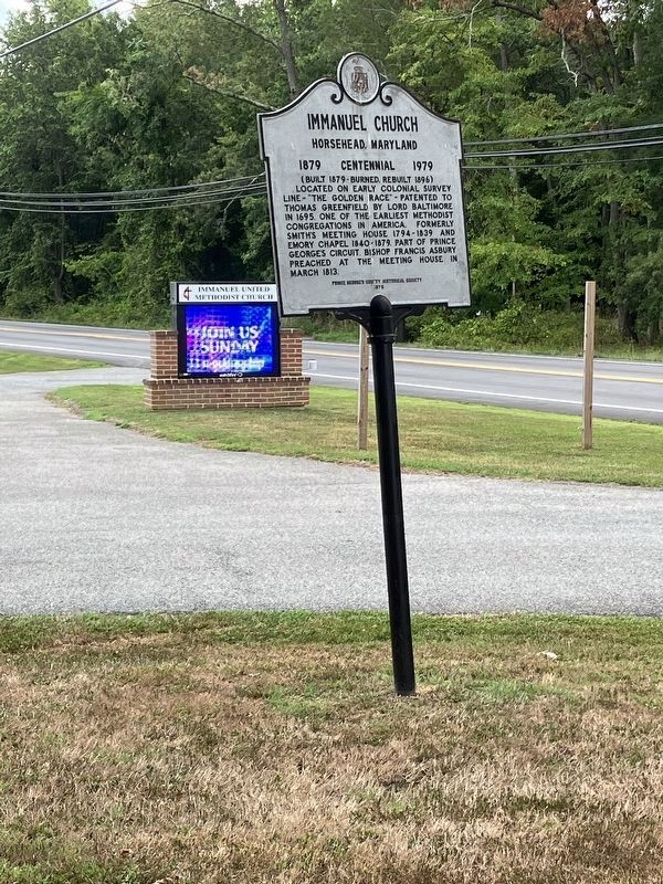
Photographed by Allen C. Browne, July 21, 2024
2. Immanuel Church Marker
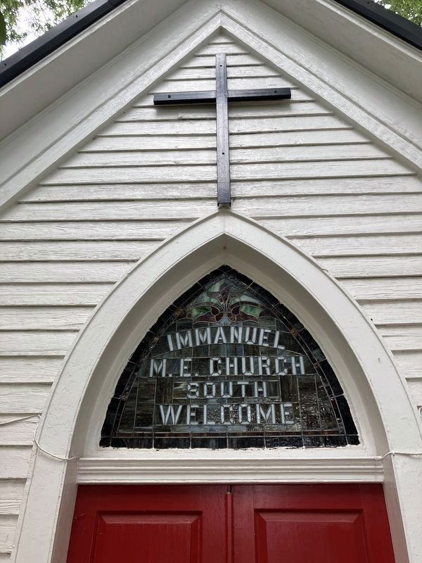
Photographed by Allen C. Browne, July 21, 2024
3. Immanuel M. E. Church South
Welcome
Welcome
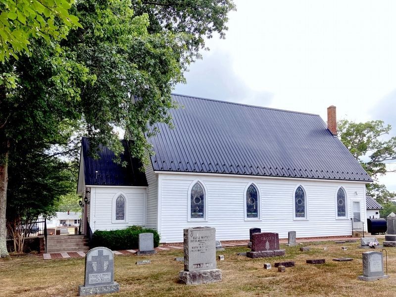
Photographed by Allen C. Browne, July 21, 2024
4. Immanuel Church - Horsehead
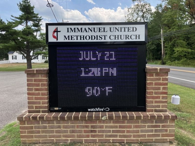
Photographed by Allen C. Browne, July 21, 2024
5. Immanuel United Methodist Church sign
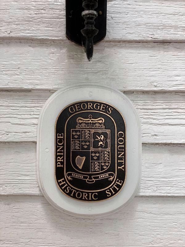
Photographed by Allen C. Browne, July 21, 2024
6. Prince George's County Historic Site
Credits. This page was last revised on July 23, 2024. It was originally submitted on November 18, 2007, by F. Robby of Baltimore, Maryland. This page has been viewed 1,343 times since then and 21 times this year. Photos: 1. submitted on November 18, 2007, by F. Robby of Baltimore, Maryland. 2, 3, 4, 5, 6. submitted on July 23, 2024, by Allen C. Browne of Silver Spring, Maryland.
