Milledgeville in Baldwin County, Georgia — The American South (South Atlantic)
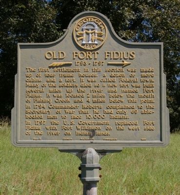
Old Fort Fidius
>>>-- 1793-1797 -->
In 1794 Commander Roberts complained to the Secretary of War that he had only 69 able-bodied men to face 10,000 Indians.
In 1797 the U.S. Government replaced Fort Fidius with Fort Wilkinson on the west side of the river on Indian lands.
Erected 1954 by Georgia Historical Commission. (Marker Number 005-5.)
Topics and series. This historical marker is listed in these topic lists: Forts and Castles • Settlements & Settlers • Wars, US Indian. In addition, it is included in the Georgia Historical Society series list. A significant historical year for this entry is 1794.
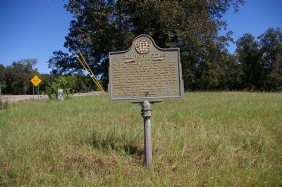
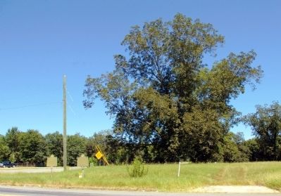
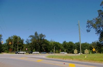
Location. 33° 5.072′ N, 83° 12.587′ W. Marker is in Milledgeville, Georgia, in Baldwin County. Marker is at the intersection of Kings Road and Hancock Street (Georgia Route 22/24), on the right when traveling north on Kings Road. Touch for map. Marker is in this post office area: Milledgeville GA 31061, United States of America. Touch for directions.
Other nearby markers. At least 8 other markers are within walking distance of this marker. The Rock Landing (here, next to this marker); Campsite of Union Army (approx. 0.2 miles away); Alexis de Tocqueville (approx. 0.9 miles away); State House Square (approx. 0.9 miles away); Site of Fort Defiance (approx. 0.9 miles away); Old State Capitol (approx. 0.9 miles away); Milledgeville Confederate Monument (approx. 0.9 miles away); Troup-Clark Political Feud (approx. 0.9 miles away). Touch for a list and map of all markers in Milledgeville.
Regarding Old Fort Fidius. There is no remaining trace of the fort or settlement.
Credits. This page was last revised on June 16, 2016. It was originally submitted on September 30, 2010, by David Seibert of Sandy Springs, Georgia. This page has been viewed 1,530 times since then and 38 times this year. Photos: 1, 2, 3, 4. submitted on September 30, 2010, by David Seibert of Sandy Springs, Georgia. • Craig Swain was the editor who published this page.


