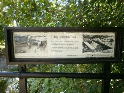
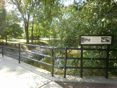
The Cranbury Dam
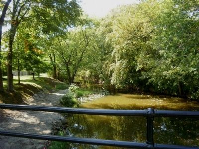
The dam, constructed in the 1800's with rebuilding and repairs through the late 19th century, diverted the Cranbury Brook in order to supply power to the local grist and saw mills.
Local sewer construction in the 1977 unearthed and partially destroyed portions of the original structure before archaeologists halted the work and revealed portions of a well-preserved crib dam.
[Captions:]
Section of the Original Crib Dam Unearthed During Main Street Excavations
Donald Jackson of the Historic American Engineering Record helped identify the structure with its various rebuildings.
Drawing of a Typical Crib Dam with Plank Covering James Leffel, Construction of Mill Dams, 1881, Park Ridge, New Jersey, Noyes Press
A Gift of Squibb Corporation, 1987
Erected 1987 by Squibb Corporation.
Topics. This historical marker is listed in these topic lists: Bridges & Viaducts • Industry & Commerce • Waterways & Vessels. A significant historical year for this entry is 1977.
Location. 40° 18.591′ N, 74° 31.005′ W. Marker is in Cranbury, New Jersey, in Middlesex County. Marker is on South Main Street (County Road 535) 0.2 miles Station Road (County Route 615), on the left when traveling north. Marker
Other nearby markers. At least 8 other markers are within 3 miles of this marker, measured as the crow flies. Site of Encampment (a few steps from this marker); Cranberry Mills (about 300 feet away, measured in a direct line); The First Presbyterian Church and Cemetery (about 800 feet away); Todd Beamer (approx. ¼ mile away); The Second Presbyterian Church of Cranbury (approx. 0.3 miles away); Site of House of Dr. Hezekiah Stites (approx. 0.3 miles away); Parsonage Barn (approx. 0.4 miles away); Hightstown (approx. 2.8 miles away). Touch for a list and map of all markers in Cranbury.
Credits. This page was last revised on December 31, 2020. It was originally submitted on October 2, 2010, by Deb Hartshorn of Burlington County, New Jersey. This page has been viewed 919 times since then and 36 times this year. Photos: 1, 2, 3. submitted on October 2, 2010, by Deb Hartshorn of Burlington County, New Jersey. • Bill Pfingsten was the editor who published this page.


