Maywood in Bergen County, New Jersey — The American Northeast (Mid-Atlantic)
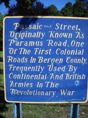
Passaic Street
Paramus Road, one
of the first Colonial
roads in Bergen County,
frequently used by
Continental and British
armies in the
Revolutionary War.
Topics. This historical marker is listed in these topic lists: Roads & Vehicles • War, US Revolutionary.
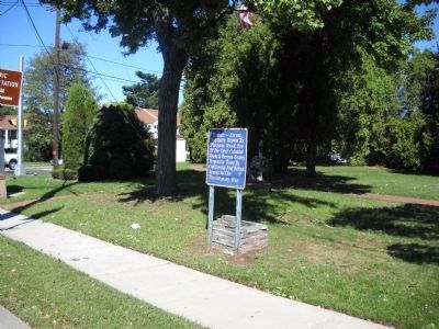
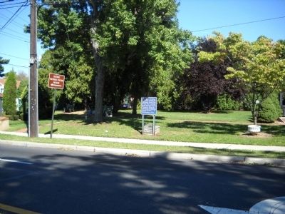
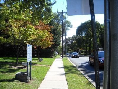
Location. 40° 54.156′ N, 74° 3.687′ W. Marker is in Maywood, New Jersey, in Bergen County. Marker is at the intersection of E Passaic Street and Maywood Avenue, on the right when traveling west on E Passaic Street. Touch for map. Marker is in this post office area: Maywood NJ 07607, United States of America. Touch for directions.
Other nearby markers. At least 8 other markers are within 2 miles of this marker, measured as the crow flies. Maywood N.J. (approx. one mile away); Memory of the Defenders of the Union (approx. 1˝ miles away); Varick Memorial African Methodist Episcopal Zion Church (approx. 1˝ miles away); Historic New Bridge Landing (approx. 1.6 miles away); a different marker also named Historic New Bridge Landing (approx. 1.6 miles away); The Campbell – Christie House (approx. 1.7 miles away); Camp Kitchen (approx. 1.7 miles away); The (Von) Steuben House (approx. 1.7 miles away).
Credits. This page was last revised on June 16, 2016. It was originally submitted on October 3, 2010, by Bill Coughlin of Woodland Park, New Jersey. This page has been viewed 720 times since then and 18 times this year. Photos: 1, 2, 3, 4. submitted on October 3, 2010, by Bill Coughlin of Woodland Park, New Jersey.


