Near La Barge in Lincoln County, Wyoming — The American West (Mountains)
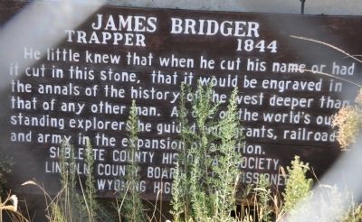
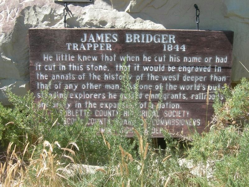
James Bridger
Trapper 1844
Photographed by Bryan R. Bauer, September 23, 2010
1. Jim Bridger Marker
He little knew that when he cut his name, or had it cut, in this stone, that it would be engraved in the annals of the West deeper than that of any other man. As one of the world's outstanding explorers he guided emigrants, railroads and army in the expansion of the nation
Erected by Sublette County Historical Society; Lincoln County Board of Commissioners; Wyoming Highway Department.
Topics. This historical marker is listed in these topic lists: Communications • Exploration • Roads & Vehicles • Settlements & Settlers. A significant historical year for this entry is 1844.
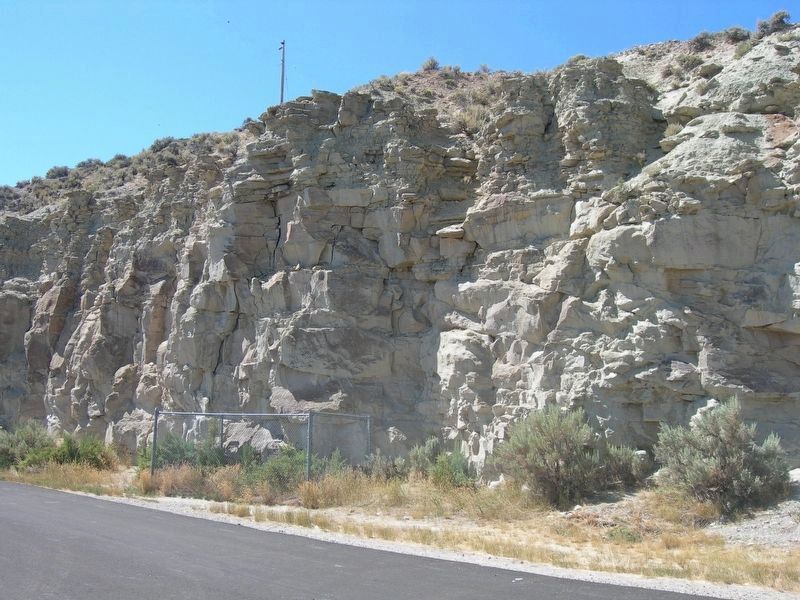
Location. 42° 10.593′ N, 110° 11.245′ W. Marker is near La Barge, Wyoming, in Lincoln County. It is on U.S. 189 5.6 miles south of State Highway 235, on the right when traveling south. The marker is on the west side of the road, across from a group of buildings on the east side of the highway and inside a chain link enclosure. Touch for map. Marker is in this post office area: La Barge WY 83123, United States of America. Touch for directions.

Regionally, this marker is in the Westward Expansion Trails Region and in Greater Yellowstone.
this page online
Other nearby markers. At least 3 other markers are within 5 miles of this marker, measured as the crow flies: Names Hill (here, next to this marker); Names Hill State Historic Site (a few steps from this marker); Seeds-Kee-Dee-Agie, Spanish River, Rio Verde, Green River (approx. 4.2 miles away).
Related marker. Click here for another marker that is related to this marker. Another Jim Bridger marker.
Photographed by Bryan R. Bauer, September 23, 2010
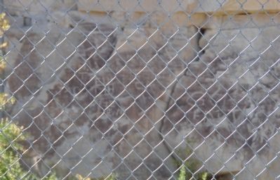
2. Names Carved in the Cliff
Photographed by Jimmy Emerson, September 3, 2011
3. James Bridger Marker
Photographed by Jimmy Emerson, September 3, 2011
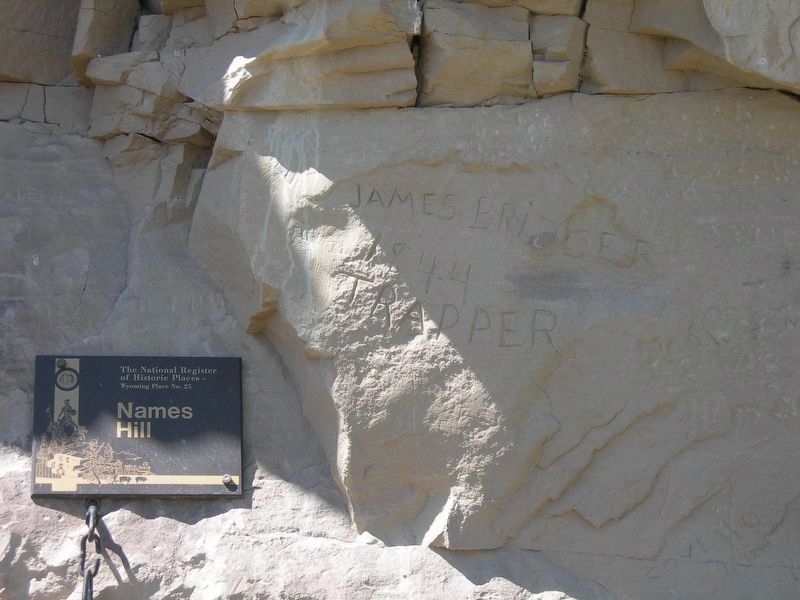
4. Jim Bridger Carving
Photographed by Jimmy Emerson, September 3, 2011
5. Jim Bridger Marker and Carving
The marker and his carved name are within the fence.
Credits. This page was last revised on August 20, 2026. It was originally submitted on October 6, 2010, by Bryan R. Bauer of Kearns, Ut 84118. This page has been viewed 1,466 times since then and 48 times this year. Last updated on August 11, 2026, by Jimmy Emerson of Dalton, Georgia. Photos: 1, 2. submitted on October 6, 2010, by Bryan R. Bauer of Kearns, Ut 84118. 3, 4, 5. submitted on August 11, 2026, by Jimmy Emerson of Dalton, Georgia. • Devry Becker Jones was the editor who published this page.
