
Near La Barge in Lincoln County, Wyoming — The American West (Mountains)
Names Hill
Photographed by Bryan R. Bauer, September 23, 2010
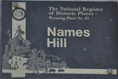
1. Names Hill Marker
The National Register
of Historic Places
Wyoming Place No. 25
Erected by Wyoming State Historical Society. (Marker Number 25.)
Topics. This historical marker is listed in these topic lists: Exploration • Roads & Vehicles • Settlements & Settlers.
Location. 42° 10.593′ N, 110° 11.245′ W. Marker is near La Barge, Wyoming, in Lincoln County. It is on U.S. 189 5.6 miles south of State Highway 235, on the right when traveling south. The marker is on the west side of the road, across from a group of buildings on the east side of the highway and inside a chain link enclosure. Touch for map. Marker is in this post office area: La Barge WY 83123, United States of America. Touch for directions.

Regionally, this marker is in the Westward Expansion Trails Region and in Greater Yellowstone. It is also in the American Mountain West. Globally, it is in North America, the Rocky Mountains, the Western Hemisphere, the Western World, and the Anglosphere. Historically, it finds itself in what was once Mexico’s Alta California.
Other nearby markers. At least 3
this page online
Also see . . . Names Hill State Historical Site. (Submitted on December 13, 2020, by Connor Olson of Menomonee Falls, Wisconsin.)
Photographed by Bryan R. Bauer, September 23, 2010
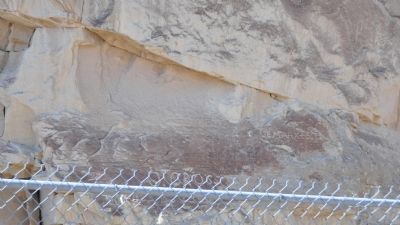
2. Names Carved in the Cliff
Click on photo for a clear view of the names.
Photographed by Bryan R. Bauer, September 23, 2010
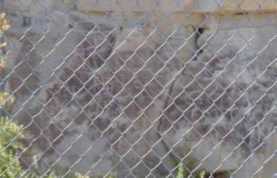
3. Names Carved in the Cliff
Credits. This page was last revised on December 15, 2020. It was originally submitted on October 6, 2010, by Bryan R. Bauer of Kearns, Ut 84118. This page has been viewed 1,105 times since then and 32 times this year. Photos: 1, 2, 3. submitted on October 6, 2010, by Bryan R. Bauer of Kearns, Ut 84118. • Syd Whittle was the editor who published this page.
