Near Henning in Lauderdale County, Tennessee — The American South (East South Central)
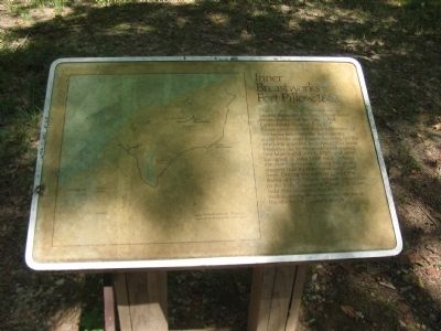
Inner Breastworks
Fort Pillow, 1862
Photographed by Craig Swain, September 1, 2010
1. Inner Breastworks Marker
Topics. This historical marker is listed in these topic lists: Forts and Castles • War, US Civil. A significant historical month for this entry is April 1862.
Location. 35° 38.457′ N, 89° 50.178′ W. Marker is near Henning, Tennessee, in Lauderdale County. It is on Park Road (State Highway 207), on the right when traveling east. Located near the visitor center for Fort Pillow State Park. Touch for map. Marker is in this post office area: Henning TN 38041, United States
this page online

Regionally, this marker is in West Tennessee. It is also in the American South, specifically in the Deep South, in the Upper South, and in the Mississippi Delta. Globally, it is in North America, the Western Hemisphere, the Western World, and the Anglosphere. Historically, it finds itself in what was once the territory of the Mississippian Culture, one of the Confederate States of America, and the Antebellum South.
Other nearby markers. At least 8 other markers are within walking distance of this marker: General N.B. Forrest's Command Position (about 300 feet away, measured in a direct line); Union Artillery 6 Pound James Rifles (approx. ¼ mile away); Union Artillery 12 Pound Howitzers (approx. 0.3 miles away); Union Artillery 10 Pound Parrotts (approx. 0.3 miles away); Confederate Sharpshooters (approx. 0.3 miles away); Earthworks Over River Batteries (approx. 0.3 miles away); Confederate Water Batteries (approx. 0.3 miles away); Outer Breastworks (approx. half a mile away). Touch for a list and map of all markers in Henning.
Photographed by Craig Swain, September 1, 2010
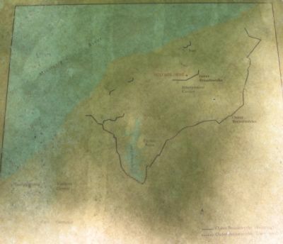
2. Map on the Left Side of Marker
Photographed by Craig Swain, September 1, 2010
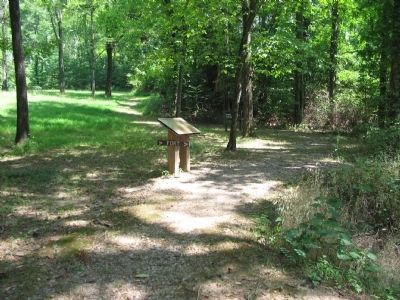
3. Inner Breastworks Marker
Photographed by Craig Swain, September 1, 2010
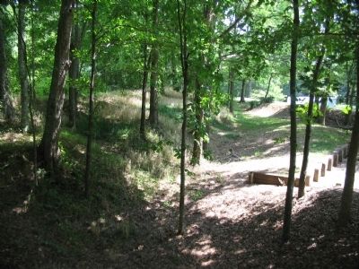
4. Portion of the Inner Breastworks near the Marker
Credits. This page was last revised on September 22, 2020. It was originally submitted on October 9, 2010, by Craig Swain of Leesburg, Virginia. This page has been viewed 858 times since then and 17 times this year. Photos: 1, 2, 3, 4. submitted on October 9, 2010, by Craig Swain of Leesburg, Virginia.
