New Creek in Mineral County, West Virginia — The American South (Appalachia)
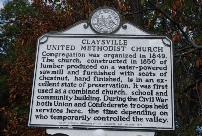
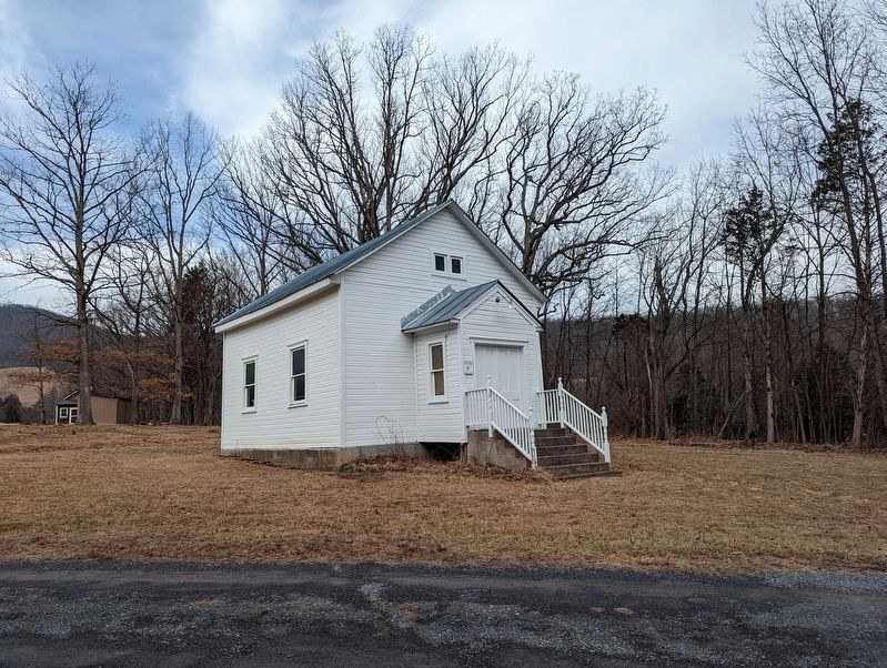
Claysville United Methodist Church
Erected 1974 by West Virginia Department of Archives and History.
Topics and series. This historical marker is listed in these topic lists: Churches & Religion • War, US Civil. In addition, it is included in the West Virginia Archives and History series list. A significant historical year for this entry is 1849.
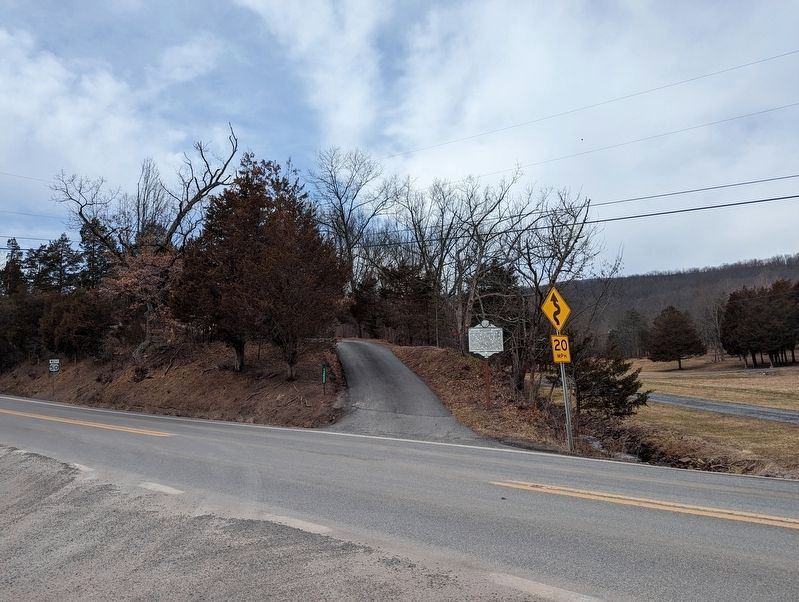
Location. 39° 20.547′ N, 79° 4.03′ W. Marker is in New Creek, West Virginia, in Mineral County. Marker is at the intersection of U.S. 50 and West Virginia Route 93, on the right when traveling west on U.S. 50. Touch for map. Marker is in this post office area: New Creek WV 26743, United States of America. Touch for directions.
Other nearby markers. At least 8 other markers are within 8 miles of this marker, measured as the crow flies. Dr. John Green (approx. 2.7 miles away); Nancy Hanks (approx. 3.6 miles away); Vandiver - Trout - Clause House (approx. 4 miles away); Mineral County / Grant County (approx. 6.7 miles away); Mineral County / State of Maryland (approx. 6.8 miles away); Thomas R. Carskadon (approx. 7˝ miles away); Carskadon Mansion (approx. 7˝ miles away); Historical Markers (approx. 7˝ miles away).
Credits. This page was last revised on February 8, 2023. It was originally submitted on October 11, 2010, by Chris Nelson of Baltimore, Maryland. This page has been viewed 901 times since then and 17 times this year. Photos: 1. submitted on October 11, 2010, by Chris Nelson of Baltimore, Maryland. 2, 3. submitted on February 8, 2023, by Mike Wintermantel of Pittsburgh, Pennsylvania. • Craig Swain was the editor who published this page.


