Near Lily in Langlade County, Wisconsin — The American Midwest (Great Lakes)
Old Military Road
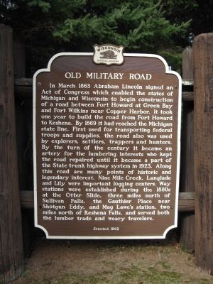
Photographed by Keith L, October 10, 2010
1. Old Military Road Marker
Erected 1962 by the Wisconsin Historical Society. (Marker Number 119.)
Topics and series. This historical marker
this page online
Location. 45° 20.208′ N, 88° 53.643′ W. Marker is near Lily, Wisconsin, in Langlade County. It is on State Highway 55 3.7 miles north of State Highway 52 W, on the left when traveling north. Marker is in Military Park. Touch for map. Marker is at or near this postal address: N8722 Highway 55, White Lake WI 54491, United States of America. Touch for directions.

Regionally, this marker is in Northern Wisconsin. It is also in the American Midwest and in the Corn Belt. Globally, it is in North America, the Great North Woods, the Western Hemisphere, the Western World, and the Anglosphere. Historically, it finds itself in what was once the territory of the Mississippian Culture and also the Northwest Territory.
Other nearby markers. At least 3 other markers are within 15 miles of this marker, measured as the crow flies: Battle of Mole Lake (approx. 11 miles away); De Langlade (approx. 12.8 miles away); Mecikalski Stovewood Building (approx. 14.6
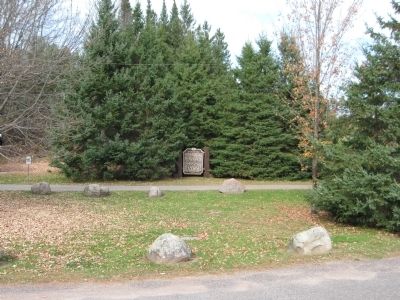
Photographed by Keith L, October 10, 2010
2. Old Military Road Marker
Related markers. Click here for a list of markers that are related to this marker. Other markers in the database about the Military Road from Fort Howard at Green Bay, to Fort Crawford at Prairie du Chien, that was built in 1835.
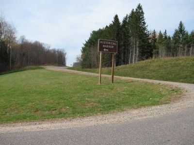
Photographed by Keith L, October 10, 2010
3. Highway 55 (Old Military Road)
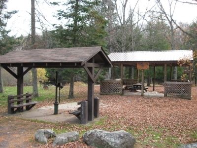
Photographed by Keith L, October 10, 2010
4. Military Park
Photographed by Keith L, October 10, 2010
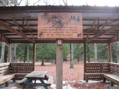
5. Sign on Shelter
The Witman Center
This shelter is dedicated to John Witman, Town Chairman Town of Langlade 1981 - 2000
by the Witman family.
This shelter is dedicated to John Witman, Town Chairman Town of Langlade 1981 - 2000
by the Witman family.
Photographed by Keith L, October 10, 2010
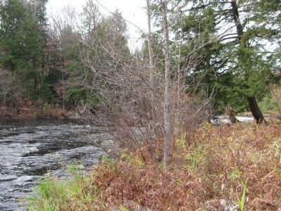
6. Wolf River at Military Park
Credits. This page was last revised on December 7, 2024. It was originally submitted on October 12, 2010, by Keith L of Wisconsin Rapids, Wisconsin. This page has been viewed 3,447 times since then and 168 times this year. Photos: 1, 2, 3, 4, 5, 6. submitted on October 12, 2010, by Keith L of Wisconsin Rapids, Wisconsin.
