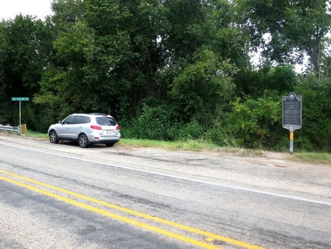
Alleyton in Colorado County, Texas — The American South (West South Central)
Alleyton C.S.A.
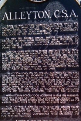
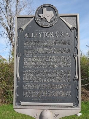
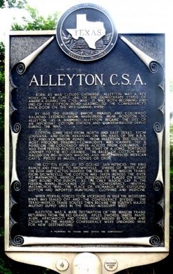
By 1860 the Buffalo Bayou, Brazos and Colorado Railroad extended from Harrisburg, near Houston, to Alleyton. As a railhead Alleyton became the site of an important cotton station and Quartermaster Depot during the War.
Cotton came here from north and east Texas, from Louisiana, and from Arkansas on the rails of the B.B.B. & C. and via wagon roads. From Alleyton the South's most precious trading commodity was carried to a point on the Colorado River across from Columbus. It was then ferried across for the start of a long, tortuous journey to the Rio Grande. The bales of cotton were hauled on big-bedded wagons and high-wheeled Mexican carts, pulled by mules, horses or oxen.
The Cotton Road led to Goliad, San Patricio, the King Ranch and finally to Brownsville. Shreds of white fluff on bush and cactus marked the trail of the wagon trains. From Brownsville the cotton was taken across the river to Matamoros, Mexico and subsequently placed on board ships bound for Europe. As the only major gap in the Federal naval blockade of the Confederacy, neutral Matamoros was the place of exchange for outgoing cotton and imported munitions, clothing and medicine.
When Federal forces took Vicksburg in 1863 the Mississippi River was sealed off and the Confederacy divided. The Texas-Mexico trade routes became the South's major military supply lines in the trans-Mississippi west.
Alleyton was a main destination of the wagon trains returning from the Rio Grande. Rifles, swords, shirts, pants, alum, arrowroot and other items needed by soldier and civilian in the harried Confederacy were unloaded here for new destinations.
A memorial to Texans who served the Confederacy
Erected 1963 by the State of Texas. (Marker Number 130.)
Topics. This historical marker is listed in these topic lists: Railroads & Streetcars • War, US Civil. A significant historical year for this entry is 1860.
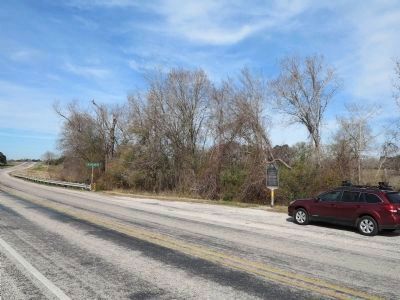
Location. 29° 42.594′ N, 96° 28.871′ W. Marker is in Alleyton, Texas, in Colorado County. Marker is at the intersection of Farm to Market Road 102 and Alleytown Road (County Road 268), on the right when traveling north on Road 102. About 2/10 mile south of US Interstate Highway 10 about four miles east of Columbus. Touch for map. Marker is in this post office area: Alleyton TX 78935, United States of America. Touch for directions.
Other nearby markers. At least 8 other markers are within 4 miles of this marker, measured as the crow flies. Alleyton Cemetery (about 600 feet away, measured in a direct line); Alleyton
(approx. 0.4 miles away); Beason's (Beeson's) Crossing (approx. 3.3 miles away); Benjamin Beason's Crossing (approx. 3.3 miles away); Harrison-Hastedt House (approx. 3.4 miles away); Hahn House (approx. 3.4 miles away); Joseph V. Frnka (approx. 3.4 miles away); Columbus Waterworks (approx. 3.4 miles away). Touch for a list and map of all markers in Alleyton.
Credits. This page was last revised on December 31, 2019. It was originally submitted on October 12, 2010, by Tiffany Prentice of Houston, Texas. This page has been viewed 1,385 times since then and 38 times this year. Photos: 1. submitted on October 12, 2010, by Tiffany Prentice of Houston, Texas. 2. submitted on January 3, 2014, by Richard Denney of Austin, Texas. 3. submitted on September 2, 2014, by Jim Evans of Houston, Texas. 4. submitted on January 3, 2014, by Richard Denney of Austin, Texas. 5. submitted on September 2, 2014, by Jim Evans of Houston, Texas. • Craig Swain was the editor who published this page.
