Lewes & Rehoboth Hundred near Millsboro in Sussex County, Delaware — The American Northeast (Mid-Atlantic)
Indian River Life-Saving Station
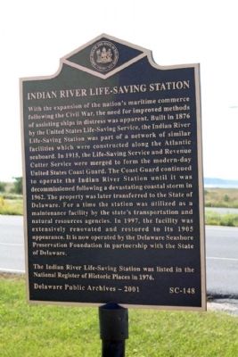
Photographed by Mike Stroud, October 11, 2010
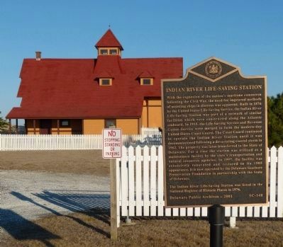
1. Indian River Life-Saving Station Marker
The Indian River Life-Saving Station was listed in the National Register of Historic Places in 1976.
Erected 2001 by Delaware Public Archives. (Marker Number SC-148.)
Topics and series. This historical marker is listed in this topic list: Waterways & Vessels. In addition, it is included in the Delaware Public Archives, and the National Register of Historic Places (NRHP) series lists. A significant historical year for this entry is 1876.
Location. 38° 38.018′ N, 75° 4.055′ W. Marker is near Millsboro, Delaware, in Sussex County. It is in Lewes & Rehoboth Hundred. It is on Coastal Highway (Delaware Route 1), on the right when traveling north. located on Route 1 in the Delaware Seashore State Park, 3 miles south of Dewey Beach or 1 mile north of the Indian River Inlet bridge. Touch for map.
this page online

Regionally, this marker is on Delaware’s Beaches. It is also in the American Mid-Atlantic, on the Delmarva Peninsula, and on the Eastern Seaboard. Globally, it is in the North Atlantic Region, North America, the Western Hemisphere, the Western World, and the Anglosphere. Historically, it finds itself in what was once New Netherland, one of the original Thirteen Colonies, and the Antebellum South.
Other nearby markers. At least 8 other markers are within 2 miles of this marker, measured as the crow flies: Shipwreck of the Faithful Steward (approx. 0.4 miles away); Indian River Inlet and Bridge (approx. 1.7 miles away); Charles W. Cullen Bridge (approx. 1.7 miles away); Sand Bypass System (approx. 1.7 miles away); United States Life-Saving Service (approx. 1.7 miles away); a different marker also named Sand Bypass System (approx. 1.8 miles away); Catching Waves (approx. 1.8 miles away); a different marker also named Indian River Inlet and Bridge (approx. 1.9 miles away).
Regarding Indian River Life-Saving Station.
National
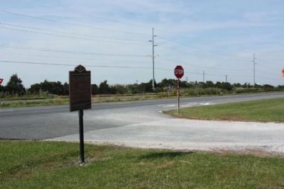
Photographed by Mike Stroud, October 11, 2010
2. Indian River Life-Saving Station Marker, looking north along Coastal Highway
located at the driveway for the Station and Museum
Indian River Life Saving Service Station **
(added 1976 - Building - #76000582) •
Area of Significance: Transportation •
Period of Significance: 1875-1899 •
Historic Function: Transportation •
"The Indian River Life Saving Station is a relic of the days when the Delaware coast was a notorious graveyard of ships. It stands near the site of the old Indian River inlet, scene of many shipwrecks from colonial times forward. The building is one of the oldest surviving lifeboat stations on the coast." Edward F. Neite (1976)
Also see . . .
1. Indian River Life-Saving Station. Wikipedia entry (Submitted on December 12, 2020, by Larry Gertner of New York, New York.)
2. Indian River Life-Saving Station. Delaware State Parks entry (Submitted on December 12, 2020, by Larry Gertner of New York, New York.)
3. Indian River Life Saving Service Station - National Register of Historic Places Nomination Form.
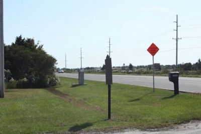
The Indian River Life Saving Station is a relic of the days when the Delaware coast was a notorious graveyard of ships. It stands near the site of the old Indian River inlet, scene(Submitted on April 24, 2025, by Pete Skillman of Wilmington, Delaware.)of many shipwrecks from colonial times forward. The building is one of the oldest surviving lifeboat stations on the coast.Photographed by Mike Stroud, October 11, 20103. Indian River Life-Saving Station Marker, looking south along Coastal Highway (State Route 1)
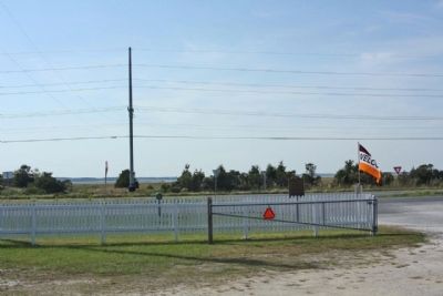
Photographed by Mike Stroud, October 11, 2010
4. Indian River Life-Saving Station Marker and Rehoboth Bay, seen in background
Photographed by Allen C. Browne, February 9, 2013
5. Indian River Life-Saving Station Marker
Photographed by Mike Stroud, October 11, 2010
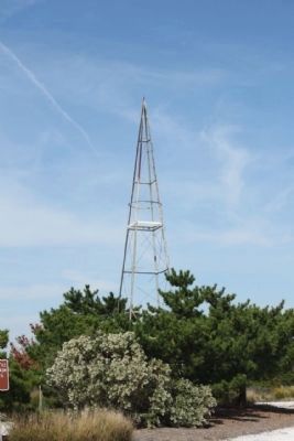
6. Indian River Life-Saving Station , one-time tower
Photographed by Edward F. Heite, 1976
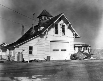
7. Indian River Life Saving Service Station
Elevation from the West.
Elevation from the West.
1976 National Register of Historic Places Property Photograph.
Photographed by Mike Stroud, October 11, 2010
8. Indian River Life-Saving Station
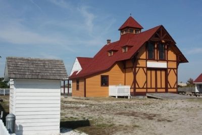
Photographed by Mike Stroud, October 11, 2010
9. Indian River Life-Saving Station , todays look
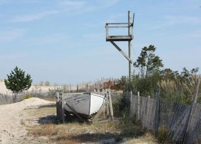
Photographed by Mike Stroud, October 11, 2010
10. Indian River Life-Saving Station, one-time crow's nest
Atlantic Ocean at background
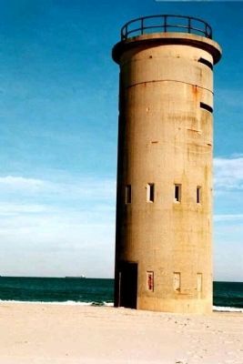
Photographed by Mike Stroud
11. Indian River Life-Saving Station, nearby is one-time Coastal Defense Watch Tower
Looking out for enemy aircraft and submarines, a part of the Delaware coastal defense network
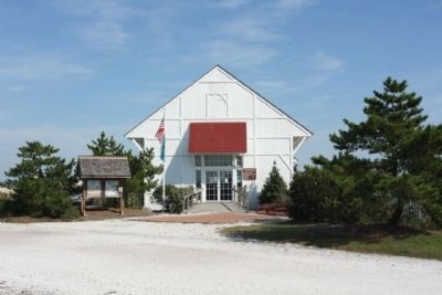
Photographed by Mike Stroud, October 11, 2010
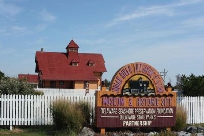
12. Indian River Life-Saving Station Museum
Credits. This page was last revised on June 5, 2026. It was originally submitted on October 19, 2010, by Mike Stroud of Bluffton, South Carolina. This page has been viewed 1,418 times since then and 42 times this year. Photos: 1, 2, 3, 4. submitted on October 19, 2010, by Mike Stroud of Bluffton, South Carolina. 5. submitted on September 29, 2013, by Allen C. Browne of Silver Spring, Maryland. 6. submitted on October 19, 2010, by Mike Stroud of Bluffton, South Carolina. 7. submitted on September 29, 2013, by Allen C. Browne of Silver Spring, Maryland. 8, 9, 10, 11, 12. submitted on October 19, 2010, by Mike Stroud of Bluffton, South Carolina.
