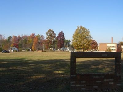
Near Spotsylvania Courthouse in Spotsylvania County, Virginia — The American South (Mid-Atlantic)
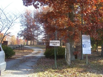
John J. Wright Parksite
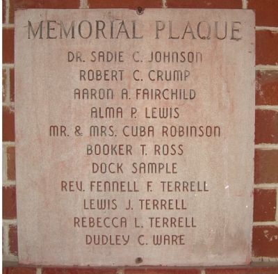
Dr. Sadie C. Johnson
Robert C. Crump
Aaron A. Fairchild
Alma P. Lewis
Mr. & Mrs. Cuba Robinson
Booker T. Ross
Dock Sample
Rev. Fennell F. Terrell
Lewis J. Terrell
Rebecca L. Terrell
Dudley C. Ware
Topics. This historical marker is listed in these topic lists: African Americans • Parks & Recreational Areas.
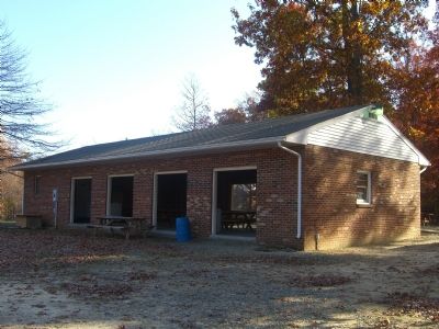
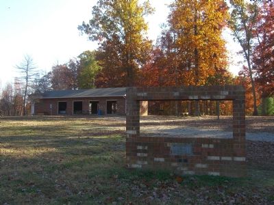
Location. 38° 9.195′ N, 77° 35.976′ W. Marker is near Spotsylvania Courthouse, Virginia, in Spotsylvania County. Marker can be reached from Courthouse Road. Marker is located in a shelter withing John J. Wright Parksite. Touch for map. Marker is at or near this postal address: 7537 Courthouse Road, Spotsylvania VA 22551, United States of America. Touch for directions.
Other nearby markers. At least 8 other markers are within 3 miles of this marker, measured as the crow flies. Spotsylvania Sunday School Union Parksite (about 500 feet away, measured in a direct line); Secondary Education for African American Children (about 600 feet away); John J. Wright School (about 700 feet away); Penny’s Tavern Site (approx. 2.3 miles away); Third Spotsylvania County Courthouse Site (approx. 2.3 miles away); Batter Up: Spotsylvania Yellow Jackets (approx. 2.7 miles away); Asbury’s Deathplace (approx. 2.8 miles away); Civil War Veterans at Rest in Zion's Cemetery (approx. 2.9 miles away). Touch for a list and map of all markers in Spotsylvania Courthouse.
Credits. This page was last revised on July 9, 2021. It was originally submitted on November 20, 2007, by Kevin W. of Stafford, Virginia. This page has been viewed 1,067 times since then and 24 times this year. Photos: 1, 2, 3, 4, 5. submitted on November 20, 2007, by Kevin W. of Stafford, Virginia.
