Near Mars Bluff in Florence County, South Carolina — The American South (South Atlantic)
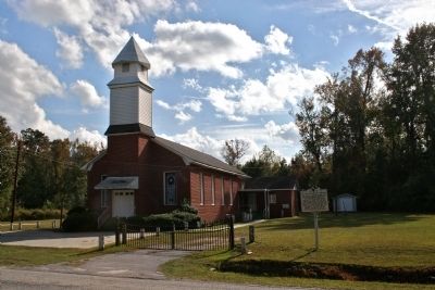
Mt. Zion Methodist Church
[Front]
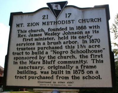
This church, founded in 1868 with Rev. James Wesley Johnson as its first minister, held its early services in a brush arbor. In 1870 trustees purchased this 1 ¾ acre tract to build a “Negro Schoolhouse” sponsored by the church, the first in the Mars Bluff community. This sanctuary, originally a frame building, was built in 1875 on a tract purchased from the school.
[Reverse]
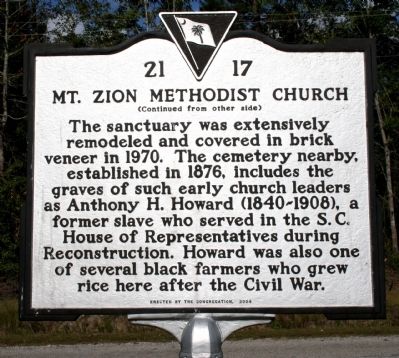
The sanctuary was extensively remodeled and covered in brick veneer in 1970. The cemetery nearby, established in 1876, includes the graves of such early church leaders as Anthony H. Howard (1840-1908), a former slave who served in the S.C. House of Representatives during Reconstruction. Howard was also one of several black farmers who grew rice here after the Civil War.
Erected 2004 by the Congregation. (Marker Number 21-17.)
Topics. This historical marker is listed in these topic lists: African Americans • Cemeteries & Burial Sites • Churches & Religion. A significant historical year for this entry is 1868.
Location. 34° 10.758′ N, 79° 38.616′ W. Marker is near Mars Bluff, South Carolina, in Florence County. Marker is on Liberty Chapel Rd. when traveling east. Touch for map. Marker is in this post office area: Florence SC 29506, United States of America. Touch for directions.
Other nearby markers. At least 8 other markers are within 2 miles of this marker, measured as the crow flies. Mt. Zion Rosenwald School (within shouting distance of this marker); Red Doe (approx. 0.4 miles away); Mars Bluff Rice Growers (approx. one mile away); Hewn-Timber Cabins (approx. 1.2 miles away); Francis Marion Memorial Highway (approx. 1.3 miles away); Gregg-Wallace Farm Tenant House (approx. 1.6 miles away); Atomic Bomb Accident at Mars Bluff, March 11, 1958 (approx. 1.6 miles away); Mars Bluff (approx. 1.9 miles away). Touch for a list and map of all markers in Mars Bluff.
Credits. This page was last revised on June 16, 2016. It was originally submitted on October 28, 2010, by David Bullard of Seneca, South Carolina. This page has been viewed 1,013 times since then and 25 times this year. Photos: 1, 2, 3. submitted on October 28, 2010, by David Bullard of Seneca, South Carolina. • Bill Pfingsten was the editor who published this page.


