Walnut Grove in Sacramento County, California — The American West (Pacific Coastal)
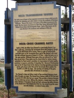
Delta Transmission Towers/Delta Cross Channel Gates
Photographed by Syd Whittle, October 30, 2010
1. Delta Transmission Towers/Delta Cross Channel Gates Marker
Twin Cities Tower – 2000 Feet, Channels 40 and 6
Walnut Grove Tower – 1549 Feet, Channels 10-13-3 Backup
McCormick Tower – 2007 Feet, Channels 3 & 31
Sacramento Joint Tower – 200 Feet, Channels 10 13 58
Eiffel Tower 1052 Feet
Statue of Liberty 305 Feet
this page online
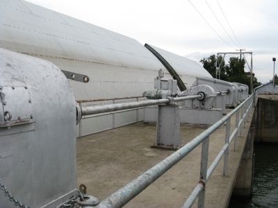
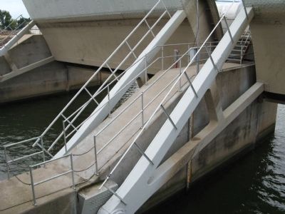
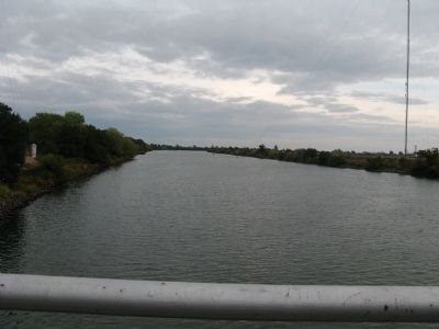
The channel is deep and allows transit of low-overhead-clearance boats when the gates are open. The channel has a bottom width of 210 feet and a capacity of 3,500 cubic feet per second. This provides a shortcut between the two waterway systems. Without this shortcut, a boater must travel the entire distance of Georgiana Slough and back upstream the entire distance of the North Fork of the Mokelumne River (or visa versa) to go this same one-mile distance – a cruise of many miles.
Erected by The Rotary Club of Walnut Grove.
Topics and series.
Photographed by Syd Whittle, October 30, 2010
2. Delta Transmission Towers/Delta Cross Channel Gates Marker
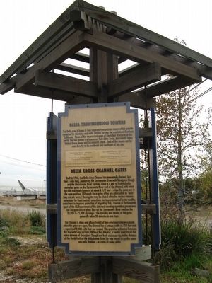
Part of the gates are visible in the background at the left of the kiosk.
Location. 38° 14.841′ N, 121° 30.58′ W. Marker is in Walnut Grove, California, in Sacramento County. It is at the intersection of River Road (County Road E13) and Levee Road, on the right when traveling north on River Road. Touch for map. Marker is at or near this postal address: 13993 River Road (County Road E13), Walnut Grove CA 95690, United States of America. Touch for directions.

Regionally, this marker is in Sacramento Metro, in the Sacramento Valley, and specifically in the Central Valley. It is also on the American Pacific Coast. Globally, it is in North America, on the Ring of Fire, on the Pacific Rim, in the Western Hemisphere, in the Western World, and in the Anglosphere. Historically, it finds itself in what was once New Spain and also Mexico’s Alta California.
Other nearby markers. At least 8 other markers are within walking distance of this marker: Charles “Chuck” Tison (here, next to this marker);
Photographed by Syd Whittle, October 30, 2010
3. Kiosk at the Chuck Tison Memorial Park
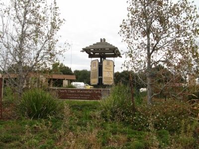
More about this marker. The marker, along with the Charles "Chuck" Tison marker, a Rotary Club of Walnut Grove Sponsorship marker, and the Walnut Grove, Est. 1850 - Locke, Est 1915 marker, share a kiosk located at the Chuck Tison Memorial Park.
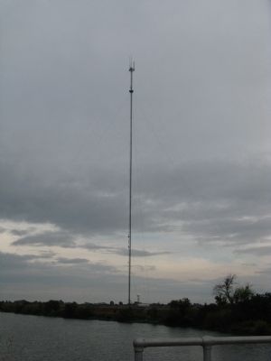
Also see . . . The Tall Towers of Walnut Grove, California. Information, history and photos of the transmission towers. (Submitted on October 30, 2010.)
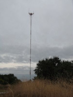
Photographed by Syd Whittle, October 30, 2010
4. Tower - Southeast of Marker
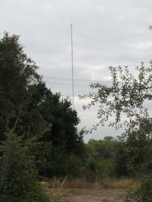
Photographed by Syd Whittle, October 30, 2010
5. Tower - Southeast of Marker
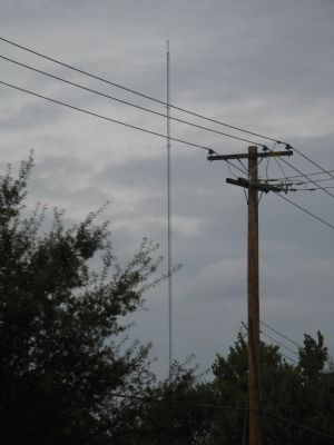
Photographed by Syd Whittle, October 30, 2010
6. Tower - Northeast of the Marker
Photographed by Syd Whittle, October 30, 2010
7. Tower - Northeast of the Marker
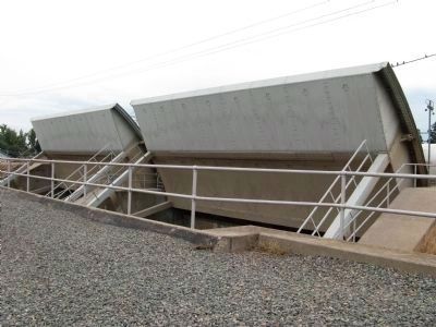
Photographed by Syd Whittle, October 30, 2010
8. Front View of the Open Delta Cross Channel Gates
The channel approaching the gates is off photo to the left.
Photographed by Syd Whittle, October 30, 2010
9. Rear View of the Delta Cross Channel Gates
Photographed by Syd Whittle, October 30, 2010
10. The Open Gates
Photographed by Syd Whittle, October 30, 2010
11. The Channel Approaching the Gates
Credits. This page was last revised on June 16, 2016. It was originally submitted on October 30, 2010, by Syd Whittle of Mesa, Arizona. This page has been viewed 3,771 times since then and 158 times this year. Photos: 1, 2, 3, 4, 5, 6, 7, 8, 9, 10, 11. submitted on October 31, 2010, by Syd Whittle of Mesa, Arizona.
