Baltimore Hundred near Dagsboro in Sussex County, Delaware — The American Northeast (Mid-Atlantic)
Baltimore Hundred
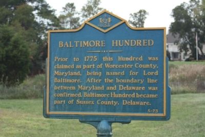
Photographed by Mike Stroud, October 14, 2010
1. Baltimore Hundred Marker
Erected by Delaware Public Archives. (Marker Number S-23.)
Topics and series. This historical marker is listed in these topic lists: Colonial Era • Political Subdivisions • Settlements & Settlers. In addition, it is included in the Delaware Public Archives series list. A significant historical year for this entry is 1775.
Location. 38° 33.379′ N, 75° 12.178′ W. Marker is near Dagsboro, Delaware, in Sussex County. It is in Baltimore Hundred. It is on Vines Creek Road (Delaware Route 26), on the left when traveling west. Located south side of road east of bridge (over Vines Creek). Touch for map. Marker is at or near this postal address: 30838 Vines Creek Rd, Dagsboro DE 19939, United States of America. Touch for directions.

Regionally, this marker is on Delaware’s Beaches. It is also in the American Mid-Atlantic, on the Delmarva Peninsula, and on the Eastern Seaboard.
this page online
Other nearby markers. At least 8 other markers are within 2 miles of this marker, measured as the crow flies: A Partnership to Mitigate Inland Bays Wetland Loss (approx. one mile away); Restoring Tidal Wetlands with Living Shorelines—an Edge at a Time (approx. one mile away); The Inland Dunes (approx. 1.1 miles away); Learning Garden (approx. 1.1 miles away); The Rhyne Garden (approx. 1.2 miles away); Prince George's Chapel (approx. 2 miles away); Veterans Memorial (approx. 2 miles away); a different marker also named Prince George's Chapel (approx. 2 miles away). Touch for a list and map of all markers in Dagsboro.
Regarding Baltimore Hundred. Hundreds-
The counties of Delaware were originally divided into
Hundreds based on the English use of dividing up counties. On October 25, 1682, William Penn directed that Delaware be divided into hundreds for the purposes of taxation.
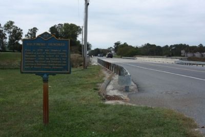
Photographed by Mike Stroud, October 14, 2010
2. Baltimore Hundred Marker, looking west along Vines Creek Road , State Road 26
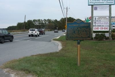
Photographed by Mike Stroud, October 14, 2010
3. Baltimore Hundred Marker, looking eastward along Vines Creek Road
Credits. This page was last revised on June 25, 2026. It was originally submitted on October 31, 2010, by Mike Stroud of Bluffton, South Carolina. This page has been viewed 2,228 times since then and 88 times this year. Photos: 1, 2, 3. submitted on November 1, 2010, by Mike Stroud of Bluffton, South Carolina.
