Murfreesboro in Rutherford County, Tennessee — The American South (East South Central)
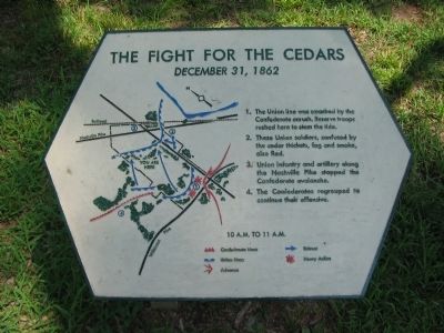
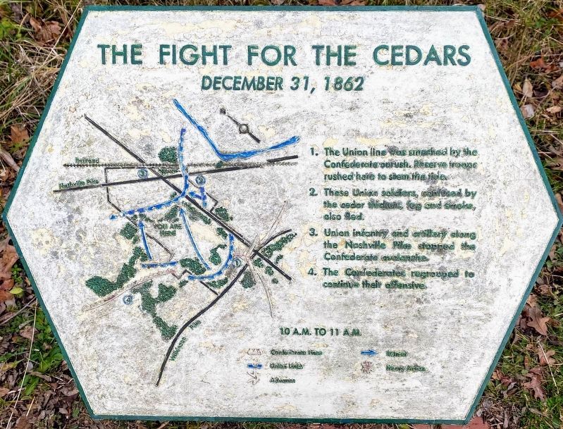
The Fight for the Cedars
December 31, 1862
| — | 10 A.M. to 11 A.M. | — |
Photographed by Craig Swain, August 28, 2010
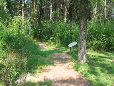
1. The Fight for the Cedars Marker
1. The Union line was smashed by the Confederate onrush. Reserve troops rushed here to stem the tide.
2. Those Union soldiers, confused by the cedar thickets, fog and smoke, also fled.
3. Union infantry and artillery along the Nashville Pike stopped the Confederate avalanche.
4. The Confederates regrouped to continue their offensive.
Topics. This historical marker is listed in this topic list: War, US Civil. A significant historical date for this entry is December 31, 1862.
Location. 35° 52.541′ N, 86° 26.112′ W. Marker is in Murfreesboro, Tennessee, in Rutherford County. It is on Park Road, on the left when traveling north. Located at stop three, The Cotton Field, on the driving tour of Stones River National Battlefield. Touch for map. Marker is in this post office area: Murfreesboro TN 37129, United States of America. Touch for directions.

Regionally, this marker is in Middle Tennessee and in Greater Nashville. It is also in the American South and specifically in the Upper South. Globally, it is in North America, the Western Hemisphere, the Western World, and the Anglosphere. Historically, it finds itself in what was once
this page online
Other nearby markers. At least 8 other markers are within walking distance of this marker: This Far, But No Farther (about 400 feet away, measured in a direct line); The Federals' Final Rally Turns the Tide (approx. 0.2 miles away); Parsons' Batteries Heavily Engaged (approx. ¼ mile away); Exploring the Promise of Freedom (approx. ¼ mile away); Waiting Anxiously for Tomorrow's Fate (approx. ¼ mile away); Stand Fast! (approx. 0.3 miles away); God has granted us a Happy New Year! (approx. 0.3 miles away); The Charge Kept Coming, Coming Like the Sea (approx. 0.3 miles away). Touch for a list and map of all markers in Murfreesboro.
Other markers no longer nearby. Cotton Field – "No Man's Land" (was about 800 feet away but has been permanently removed); Parson's Battery (was approx. ¼ mile away but has been reported to have been replaced with another marker now near it); Chicago Board of Trade Battery (was approx. 0.3 miles away but has been confirmed missing).
Also see . . . Stones River National Battlefield.
Photographed by Shane Oliver, January 16, 2021
2. The Fight for the Cedars Marker
Photographed by Craig Swain, August 28, 2010
3. The Fight for the Cedars Marker
Photographed by Craig Swain, August 28, 2010
4. Cedar Glades
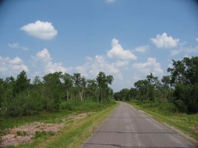
The battlefield includes over 150 acres of cedar glades featuring red cedars and many rare plant species. The park service has a plan to encourage the growth of native plants in this area, returning it to both the wartime appearance, and the natural setting. Unfortunately a 2009 tornado knocked down many of the cedar trees in this section of the field.
Photographed by Shane Oliver, January 16, 2021
5. Another nearby marker
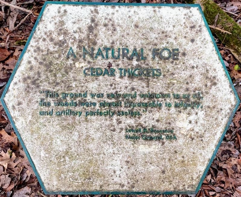
A Natural Foe
Cedar Thickets
"This ground was new and unknown to us all, the woods were almost impassable to infantry, and artillery perfectly useless." - Lowell H. Rousseau Major General, USA
Cedar Thickets
"This ground was new and unknown to us all, the woods were almost impassable to infantry, and artillery perfectly useless." - Lowell H. Rousseau Major General, USA
Credits. This page was last revised on March 15, 2021. It was originally submitted on November 1, 2010, by Craig Swain of Leesburg, Virginia. This page has been viewed 1,086 times since then and 49 times this year. Photos: 1. submitted on November 1, 2010, by Craig Swain of Leesburg, Virginia. 2. submitted on March 13, 2021, by Shane Oliver of Richmond, Virginia. 3, 4. submitted on November 1, 2010, by Craig Swain of Leesburg, Virginia. 5. submitted on March 13, 2021, by Shane Oliver of Richmond, Virginia.
