Stuyvesant in Columbia County, New York — The American Northeast (Mid-Atlantic)
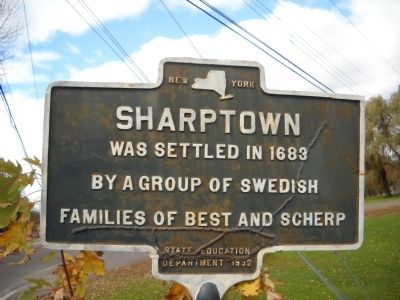
Sharptown
by a group of Swedish
families of Best and Scherp.
Erected 1932 by New York State Education Department.
Topics. This historical marker is listed in these topic lists: Colonial Era • Settlements & Settlers. A significant historical year for this entry is 1683.
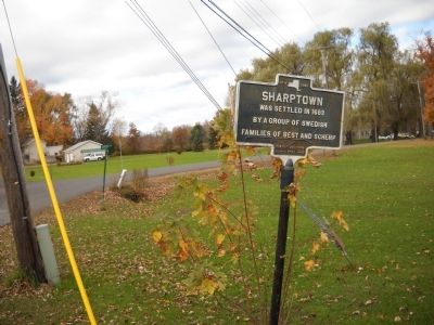
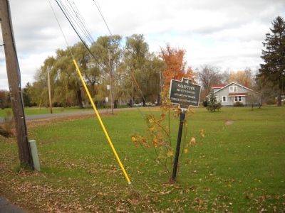
Location. 42° 23.362′ N, 73° 45.839′ W. Marker is in Stuyvesant, New York, in Columbia County. Marker is at the intersection of County Route 26A and Gibbons Road, on the right when traveling west on County Route 26A. Touch for map. Marker is in this post office area: Stuyvesant NY 12173, United States of America. Touch for directions.
Other nearby markers. At least 8 other markers are within 3 miles of this marker, measured as the crow flies. Stuyvesant Landing (approx. 0.9 miles away); Henry Van Schaack (approx. 0.9 miles away); Benjamin F. Butler (approx. one mile away); Henry Hudson (approx. one mile away); Powell Patent (approx. one mile away); Newton Hook (approx. 2˝ miles away); Stockport-Stuyvesant Line (approx. 2.6 miles away); Nutten Hooke (approx. 2.6 miles away). Touch for a list and map of all markers in Stuyvesant.
Credits. This page was last revised on June 16, 2016. It was originally submitted on November 2, 2010, by Bill Coughlin of Woodland Park, New Jersey. This page has been viewed 797 times since then and 21 times this year. Photos: 1, 2, 3. submitted on November 2, 2010, by Bill Coughlin of Woodland Park, New Jersey.


