
Wauwatosa in Milwaukee County, Wisconsin — The American Midwest (Great Lakes)
Charles Hart Homestead
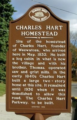
Photographed by Paul F, November 2, 2010
1. Charles Hart Homestead Marker
West side of two sided marker.
Erected 1995 by Milwaukee County Historical Society.
Topics. This historical marker is listed in these topic lists: Roads & Vehicles • Settlements & Settlers. A significant historical month for this entry is May 1835.
Location. 43° 3.13′ N, 88° 0.996′ W. Marker is in Wauwatosa, Wisconsin, in Milwaukee County. It is at the intersection of Charles Hart Parkway and Ludington Avenue, on the right when traveling west on Charles Hart Parkway. Touch for map. Marker is in this post office area: Milwaukee WI 53226, United States of America. Touch for directions.

Regionally, this marker is in Southeast Wisconsin and in Greater Milwaukee. It is also in the American Midwest, on the Great Lakes, and in the Corn Belt. Globally, it is in North America, the Western Hemisphere, the Western World, and the Anglosphere. Historically, it finds itself in what was once the territory of the Mississippian Culture and also the Northwest Territory.
Other nearby markers. At least 8 other markers are within walking distance of this marker: “Sunnyhill Home” (approx. 0.2 miles away); Milwaukee County Cemetery (approx. 0.3 miles away); Thomas Benjamin Hart House (approx. 0.3 miles away); First Congregational Church (approx. 0.3 miles away); Church Street Historic District (approx. 0.3 miles away); Dittmar-Robertson Building (approx. 0.4 miles away); Harts Mills (approx. half a mile away); Milwaukee County Asylum Cemetery (approx. 0.6 miles away).
this page online
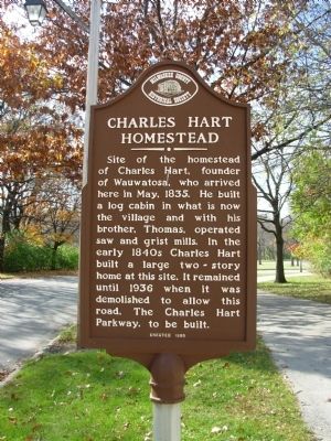
Photographed by Paul F, November 2, 2010
2. Charles Hart Homestead Marker
East side of two sided marker.
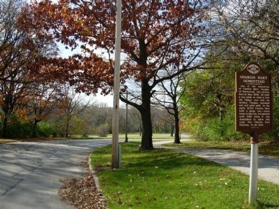
Photographed by Paul F, November 2, 2010
3. Charles Hart Homestead Marker
Looking west down Charles Hart Parkway
Credits. This page was last revised on June 16, 2016. It was originally submitted on November 3, 2010, by Paul Fehrenbach of Richfield, Wisconsin. This page has been viewed 1,784 times since then and 89 times this year. Photos: 1, 2, 3. submitted on November 3, 2010, by Paul Fehrenbach of Richfield, Wisconsin. • Bill Pfingsten was the editor who published this page.
