Peach Bottom Township near Delta in York County, Pennsylvania — The American Northeast (Mid-Atlantic)
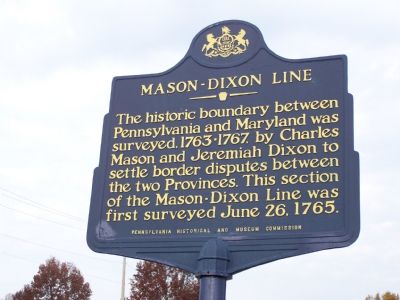
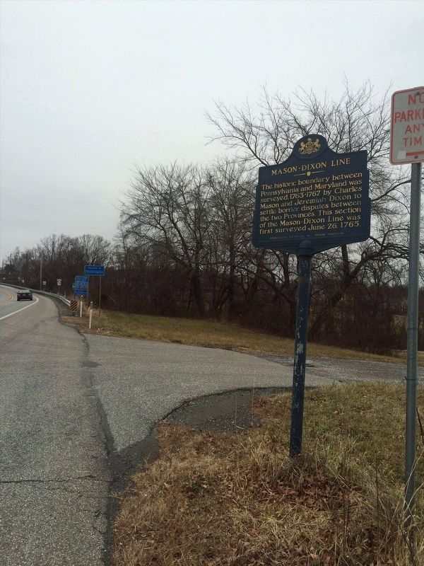
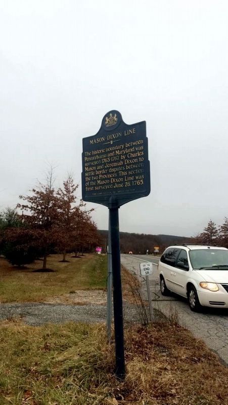
Mason-Dixon Line
Erected 1970 by Pennsylvania Historical and Museum Commission.
Topics and series. This historical marker is listed in these topic lists: Colonial Era • Settlements & Settlers. In addition, it is included in the Pennsylvania Historical and Museum Commission series list. A significant historical date for this entry is June 26, 1724.
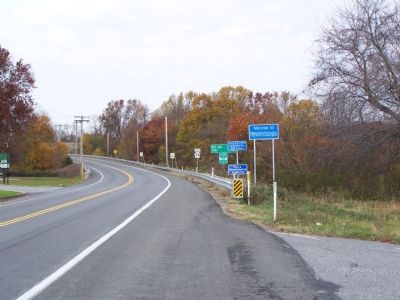
Location. 39° 43.27′ N, 76° 20.594′ W. Marker is near Delta, Pennsylvania, in York County. It is in Peach Bottom Township. Marker is on Delta Road, 0.2 miles north of Dooley Road, on the right when traveling north. Touch for map. Marker is at or near this postal address: 6960 Delta Rd, Whiteford MD 21160, United States of America. Touch for directions.
Other nearby markers. At least 8 other markers are within 6 miles of this marker, measured as the crow flies. Peach Bottom Slate Region (approx. 0.6 miles away in Maryland); Dedicated to the honor and sacrifice (approx. one mile away); Welsh Slate Quarrymens' Cottages at Coulsontown (approx. 1.9 miles away); The World Famous Peach Bottom Slate (approx. 1.9 miles away); The Welsh Immigrants (approx. 1.9 miles away); The Slate Splitters (approx. 1.9 miles away); The River, the Dams and the Lakes (approx. 4.9 miles away); The Canal Community (approx. 5.7 miles away). Touch for a list and map of all markers in Delta.
Credits. This page was last revised on January 12, 2024. It was originally submitted on November 28, 2007, by Bill Pfingsten of Bel Air, Maryland. This page has been viewed 2,244 times since then and 39 times this year. Photos: 1, 2. submitted on November 28, 2007, by Bill Pfingsten of Bel Air, Maryland. 3, 4. submitted on January 12, 2024, by Adam Margolis of Mission Viejo, California.


