Murfreesboro in Rutherford County, Tennessee — The American South (East South Central)
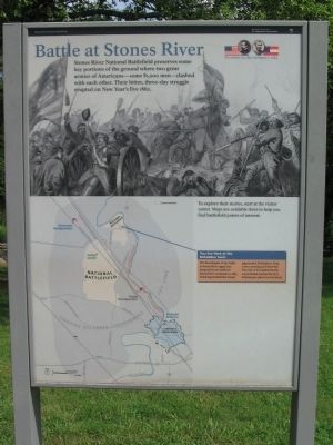
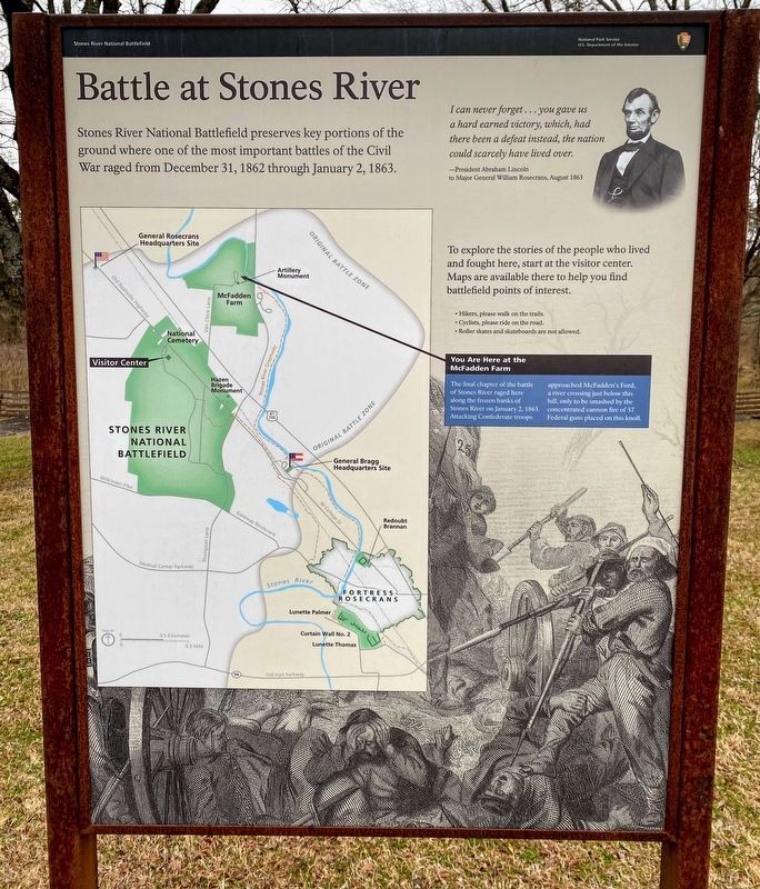
Battle at Stones River
December 31, 1862 - January 2, 1863
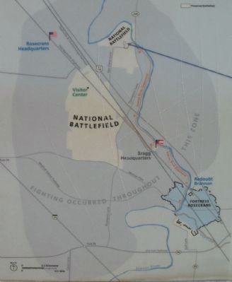
To explore their stories, start at the Visitor Center. Maps are available there to help you find battlefield points of interest.
You are here at the McFadden Farm
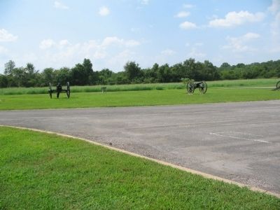
The final chapter of the battle of Stones River raged here along the frozen banks of Stones River on January 2, 1863. Attacking Confederate troops approached McFadden's Ford, a river crossing just below this hill, only to be smashed by the concentrated cannon fire of 57 Federal guns placed on this knoll.
Erected by Stones River National Battlefield - National Park Service - U.S. Department of the Interior.
Topics. This historical marker is listed in this topic list: War, US Civil. A significant historical date for this entry is January 2, 1863.
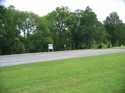
Location. 35° 53.317′ N, 86° 25.543′ W. Marker is in Murfreesboro, Tennessee, in Rutherford County. Marker is on Van Cleve Lane, on the right when traveling north. Located at stop six, McFadden's Ford, in Stones River National Battlefield. Touch for map. Marker is in this post office area: Murfreesboro TN 37129, United States of America. Touch for directions.
Other nearby markers. At least 8 other markers are within walking distance of this marker. Remembering by Rail (here, next to this marker); The Very Forest Seemed to Fall (within shouting distance of this marker); Stones River Artillery Monument (within shouting distance of this marker); McFadden Cemetery (within shouting distance of this marker); My Poor Orphans! (about 400 feet away, measured in a direct line); McFadden's Ford (about 600 feet away); Battle of Stones River (approx. 0.2 miles away); Battle of Murfreesboro (approx. 0.6 miles away). Touch for a list and map of all markers in Murfreesboro.
More about this marker. The basic marker seen here is used for orientation at the battlefield. It is repeated at several locations, with different text in the map call out.
Also see . . . Stones River National Battlefield. National Park Service site. (Submitted on November 10, 2010, by Craig Swain of Leesburg, Virginia.)
Photographed By Craig Swain, August 28, 2010
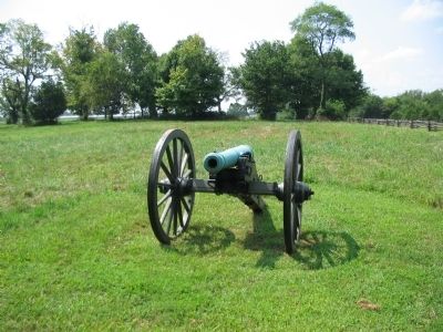
6. 3.80 inch James Rifle Type 1
A single rifled gun stands to the south of the parking lot, roughly where the Chicago Board of Trade Battery stood during the January 2 fighting. The gun is a James Rifle using the profile of the Model 1841 6-pdr Field Gun, identified by historians as a "Type 1." The gun was produced for the State of Connecticut in 1861 by Ames Manufacturing of Massachusetts.
Credits. This page was last revised on December 19, 2022. It was originally submitted on November 10, 2010, by Craig Swain of Leesburg, Virginia. This page has been viewed 1,112 times since then and 9 times this year. Photos: 1. submitted on November 10, 2010, by Craig Swain of Leesburg, Virginia. 2. submitted on March 14, 2021, by Shane Oliver of Richmond, Virginia. 3, 4, 5, 6. submitted on November 10, 2010, by Craig Swain of Leesburg, Virginia. 7. submitted on December 18, 2022, by Bradley Owen of Morgantown, West Virginia.
