Murfreesboro in Rutherford County, Tennessee — The American South (East South Central)
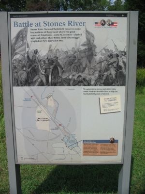
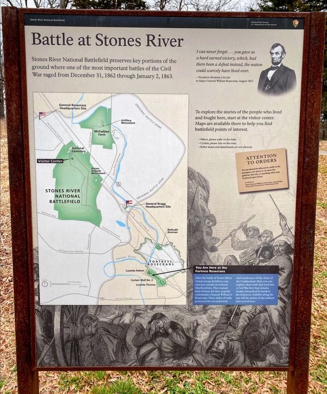
Battle at Stones River
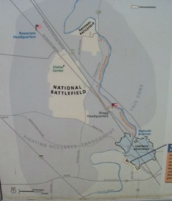
To explore their stories, start at the Visitor Center. Maps are available there to help you find battlefield points of interest.
Attention to Orders
No one should be allowed to walk on the parapets, nor move or sit upon the gabions, barrels, or sandbags that may be placed upon them.
by Order of
Major General William S. Rosecrans, commanding Army of the Cumberland, United States Army.
You are here at Fortress Rosecrans
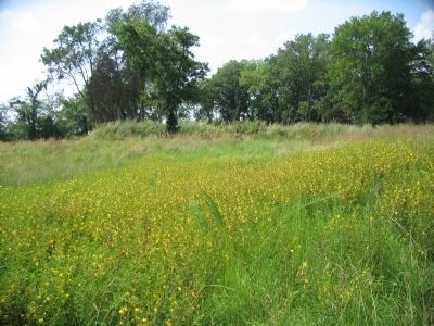
After the battle of Stones River, Union troops fortified a vast area just outside downtown Murfreesboro. They named their fortress for their popular commander, General William S. Rosecrans. Three miles of walls protected the encampment and warehouses of the Army of the Cumberland. Here you can explore short trails that lead into a Civil War fort that remains mostly untouched by modern development. Exhibits along the way tell the stories of the soldiers who served here.
Erected by Stones River National Battlefield - National Park Service - U.S. Department of the Interior.
Topics. This historical marker is listed in these topic lists: Forts and Castles • War, US Civil. A significant historical year for this entry is 1862.
Location. This marker has been replaced by another marker nearby. It was located near 35° 51.153′ N, 86° 24.722′ W. Marker was in Murfreesboro, Tennessee, in Rutherford County. Marker was on Golf Lane (Old Fort Street), on the right when traveling north. Located in the Fortress Rosecrans unit of the Stones River National Battlefield, adjacent to the Old Fort city park. Touch for map. Marker was in this post office area: Murfreesboro TN 37129, United States of America. Touch for directions.
Other nearby markers. At least 8 other markers are within walking distance of this location. Fortress Rosecrans (here, next to this marker); a different marker also named Battle at Stones River (a few steps from this marker); A Vast Depot (about 300 feet away, measured in a direct line); Lunette Palmer (about 400 feet away); Fields of Fire (about 400 feet away); Toil and Mud (about 500 feet away); Covered by Cross Fires (approx. 0.2 miles away); I Never Saw Anything Like Them Before (approx. 0.2 miles away). Touch for a list and map of all markers in Murfreesboro.
More about this marker. The basic marker seen here is used for orientation at the battlefield. It is repeated at several locations, with different text in the map call out.
Also see . . . Fortress Rosecrans. National Park Service page. (Submitted on November 11, 2010, by Craig Swain of Leesburg, Virginia.)
Credits. This page was last revised on September 18, 2021. It was originally submitted on November 10, 2010, by Craig Swain of Leesburg, Virginia. This page has been viewed 1,007 times since then and 7 times this year. Photos: 1. submitted on November 10, 2010, by Craig Swain of Leesburg, Virginia. 2. submitted on March 14, 2021, by Shane Oliver of Richmond, Virginia. 3, 4, 5. submitted on November 10, 2010, by Craig Swain of Leesburg, Virginia.
