Murfreesboro in Rutherford County, Tennessee — The American South (East South Central)
Toil and Mud
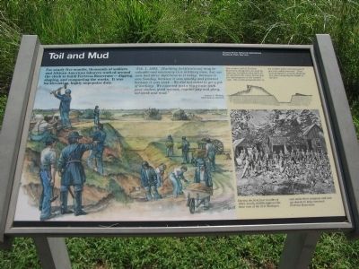
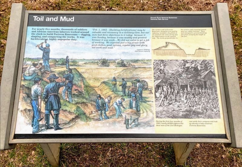
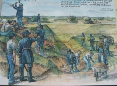
For nearly five months, thousands of soldiers and African-American laborers worked around the clock to build Fortress Rosecrans - digging, shaping, and compacting the works. It was backbreaking, highly unpopular duty.
"Feb. 1, 1863. [Building fortifications] may be valuable and necessary in a military view, but our men had three objections to it today: because it was Sunday, because it was muddy and greatest because it was work.... We did not enlist to get a job of working. We expected just a big picnic with good clothes, good rations, regular pay and glory, not work and mud."
-Lyman S. Widney, 34th Illinois Infantry
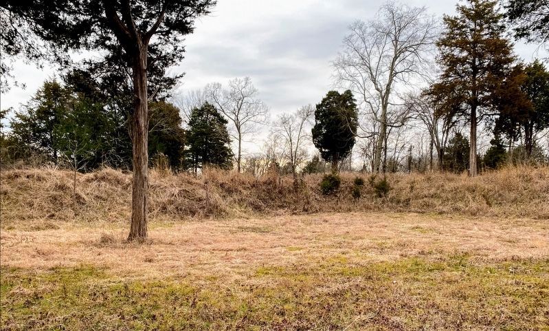
The curtain wall of Fortress Rosecrans, designed to be used by infantry, included a dry ditch on its outward side and a firing step for infantrymen on the inward side. The works perpendicular to the curtain wall (running toward you) are called traverses. These were designed to prevent flanking fire from sweeping the length of the fort.
During the first four months of 1863, nearly 40,000 fighters like these men of the 21st Michigan cast aside weapons and took up shovels to help construct Fortress Rosecrans.
Erected by Stones River National Battlefield - National Park Service - U.S. Department of the Interior.
Topics. This historical marker is listed in this topic list: War, US Civil. A significant historical year for this entry is 1863.
Location. 35° 51.132′ N, 86° 24.618′ W. Marker is in Murfreesboro, Tennessee, in Rutherford County. Marker is on Golf Lane (Old Fort Street), on the right when traveling north. Located along the trail in the Fortress Rosecrans unit of the Stones River National Battlefield. Touch for map. Marker is in this post office area: Murfreesboro TN 37129, United States of America. Touch for directions.
Other nearby markers. At least 8 other markers are within walking distance of this marker. Covered by Cross Fires (about 300 feet away, measured in a direct line); Fortress Rosecrans (about 500 feet away); Battle at Stones River (about 500 feet away); I Never Saw Anything Like Them Before (about 600 feet away); New Citizen Soldiers (about 600 feet away); A Vast Depot (about 700 feet away); Living Under the Guns (approx. 0.2 miles away); Lunette Palmer (approx. 0.2 miles away). Touch for a list and map of all markers in Murfreesboro.
Also see . . . Fortress Rosecrans. National Park Service website entry (Submitted on November 12, 2010, by Craig Swain of Leesburg, Virginia.)
Photographed By Craig Swain, August 28, 2010
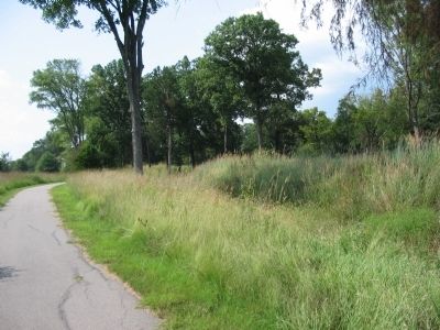
5. Curtain Wall and Ditch
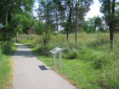
The result of those months of labor stand today, covered with grass, in the preserved section of the fortress. This view is from the western side of the trail loop, looking at the external face of the curtain wall. The ditch, partly filled in, is at the base of the wall.
Credits. This page was last revised on July 10, 2022. It was originally submitted on November 12, 2010, by Craig Swain of Leesburg, Virginia. This page has been viewed 808 times since then and 10 times this year. Photos: 1. submitted on November 12, 2010, by Craig Swain of Leesburg, Virginia. 2. submitted on March 14, 2021, by Shane Oliver of Richmond, Virginia. 3, 4, 5. submitted on November 12, 2010, by Craig Swain of Leesburg, Virginia. 6. submitted on March 14, 2021, by Shane Oliver of Richmond, Virginia.
