Eutaw in Greene County, Alabama — The American South (East South Central)
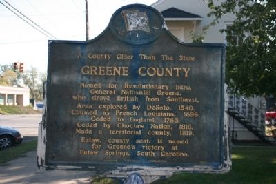
A County Older Than The State, Greene County
Inscription.
Named for Revolutionary hero,
General Nathaniel Greene,
who drove British from Southeast.
Area explored by DeSoto, 1540.
Claimed as French Louisiana, 1699.
Ceded to England, 1763.
Ceded by Choctaw Nation, 1816.
Made a territorial county, 1819.
Eutaw, county seat, is named
for Greene’s victory at
Eutaw Springs, South Carolina.
Erected 1956 by Alabama Historical Association.
Topics and series. This historical marker is listed in these topic lists: Colonial Era • Native Americans • Settlements & Settlers • War, US Revolutionary. In addition, it is included in the Alabama Historical Association series list. A significant historical year for this entry is 1540.
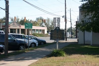
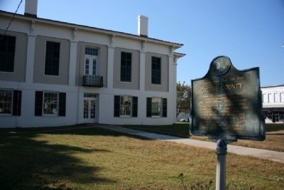
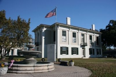
Location. 32° 50.446′ N, 87° 53.239′ W. Marker is in Eutaw, Alabama, in Greene County. Marker is on Tuscaloosa Street (U.S. 11) east of Springfield Avenue, on the right when traveling east. Marker located on the north side of Courthouse Square. Touch for map. Marker is in this post office area: Eutaw AL 35462, United States of America. Touch for directions.
Other nearby markers. At least 8 other markers are within 13 miles of this marker, measured as the crow flies. Thomas Earl Gilmore, Sr. (a few steps from this marker); Greene County Veterans Monument (within shouting distance of this marker); Matthew Leonard (within shouting distance of this marker); Welcome to Eutaw, Alabama: The Gateway To The Black Belt (within shouting distance of this marker); First Presbyterian Church (approx. 0.2 miles away); Clinton Baptist Church (approx. 8.1 miles away); Boligee Presbyterian Church (approx. 10.3 miles away); Beulah Baptist Church (approx. 12.8 miles away). Touch for a list and map of all markers in Eutaw.
Credits. This page was last revised on November 1, 2019. It was originally submitted on November 14, 2010, by Timothy Carr of Birmingham, Alabama. This page has been viewed 1,224 times since then and 64 times this year. Photos: 1, 2, 3, 4. submitted on November 14, 2010, by Timothy Carr of Birmingham, Alabama. • Bill Pfingsten was the editor who published this page.


