Dover in Stewart County, Tennessee — The American South (East South Central)
Porter's Battery
Brown's Brigade
| — | Buckner's Division | — |
Photographed by Craig Swain, September 4, 2010
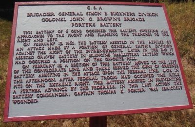
1. Porter's Battery Tablet
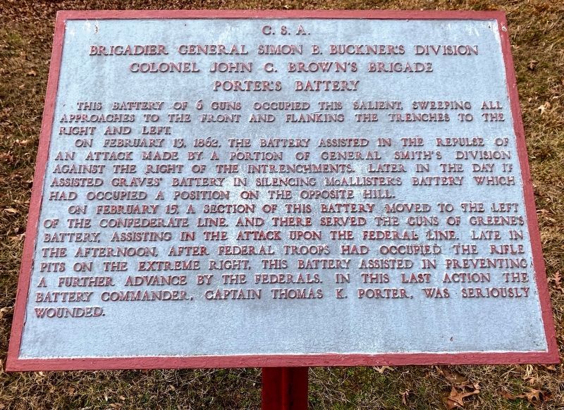
Brigadier General Simon B. Buckner's Division
Colonel John C. Brown's Brigade
Porter's Battery
On February 13, 1862, the battery assisted in the repulse of an attack made by a portion of General Smith's division against the right of the intrenchments. Later in the day it assisted Graves' battery in silencing McAllister's battery which had occupied a position on the opposite hill.
On February 15, a section of this battery moved to the left of the Confederate line, and there served the guns of Green's battery, assisting in the attack upon the Federal line. Late in the afternoon, after Federal troops had occupied the rifle pits on the extreme right, this battery assisted in preventing a further advance by the Federals. In this last action the battery commander, Captain Thomas K. Porter, was seriously wounded.
Topics. This historical marker is listed in this topic list: War, US Civil. A significant historical month for this entry is February 1918.
Location. 36° 28.935′ N, 87° 51.827′ W. Marker is in Dover, Tennessee,
this page online

Regionally, this marker is in Middle Tennessee and in the Highland Rim. It is also in the American South and specifically in the Upper South. Globally, it is in North America, the Western Hemisphere, the Western World, and the Anglosphere. Historically, it finds itself in what was once the territory of the Mississippian Culture, one of the Confederate States of America, and the Antebellum South.
Other nearby markers. At least 8 other markers are within walking distance of this marker: 6-pounder Gun (a few steps from this marker); Fort Donelson Confederate Monument (approx. 0.2 miles away); Confederate Monument (approx. 0.2 miles away); The Stewart County Iron Industry (approx. 0.3 miles away); Union Camp (approx. 0.3 miles away); Lauman's Brigade (approx. 0.3 miles away); Buckner's Division (approx. 0.3 miles away); Graves' Battery
Photographed by Shane Oliver, February 7, 2021
2. Porter's Battery Marker
Other markers no longer nearby. Federal Troops and Casualties at Fort Donelson (was about 300 feet away, measured in a direct line but has been confirmed missing); Confederate Troops and Casualties at Fort Donelson (was about 300 feet away but has been confirmed missing); Fort Donelson (was about 400 feet away but has been confirmed missing); Forrest's Escape (was approx. ¼ mile away but has been permanently removed); Battle of Dover (was approx. 0.3 miles away but has been permanently removed); Morrison's Attack (was approx. 0.3 miles away but has been permanently removed); Holding The Line (was approx. 0.3 miles away but has been permanently removed); Forrest's Attack (was approx. 0.3 miles away but has been permanently removed).
Photographed by Craig Swain, September 4, 2010
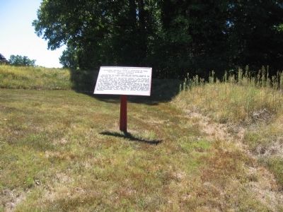
3. Porter's Battery Tablet
Credits. This page was last revised on May 10, 2021. It was originally submitted on November 16, 2010, by Craig Swain of Leesburg, Virginia. This page has been viewed 1,159 times since then and 37 times this year. Photos: 1. submitted on November 16, 2010, by Craig Swain of Leesburg, Virginia. 2. submitted on May 10, 2021, by Shane Oliver of Richmond, Virginia. 3. submitted on November 16, 2010, by Craig Swain of Leesburg, Virginia.
