Hopkins in Richland County, South Carolina — The American South (South Atlantic)
Harriet Barber House
Photographed by Mike Stroud, October 26, 2010
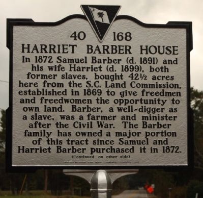
1. Harriet Barber House Marker
In 1872 Samuel Barber (d. 1891) and his wife Harriet (d. 1899), both former slaves, bought 42½ acres here from the S.C. Land Commission, established in 1869 to give freedmen and freedwomen the opportunity to own land. Barber, a well-digger as a slave, was a farmer and minister after the Civil War. The Barber family has owned a major portion of this tract since Samuel and Harriet Barber purchased it in 1872.
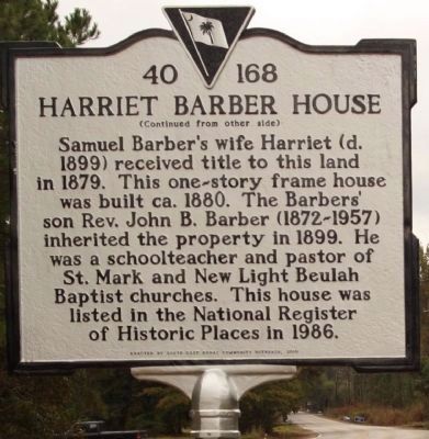
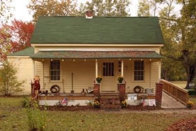
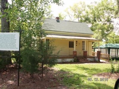
Samuel Barber’s wife Harriet (d. 1899) received title to this land in 1879. This one-story frame house was built ca. 1880. The Barbers’ son Rev. John B. Barber (1872-1957) inherited the property in 1899. He was a schoolteacher and pastor of St. Mark and New Light Beulah Baptist churches. This house was listed in the National Register of Historic Places in 1986.
Erected 2010 by South Carolina Department of Archives and History, sponsored by South East Rural Community Outreach. (Marker Number 40-168.)
Topics and series. This historical marker is listed in these topic lists: African Americans • Industry & Commerce • Religion & Religious Structures • Women. In addition, it is included in
this page online
Location. 33° 53.718′ N, 80° 52.647′ W. Marker is in Hopkins, South Carolina, in Richland County. It is on Lower Richland Blvd. near Barberville Loop Road, on the right when traveling north. Touch for map. Marker is in this post office area: Hopkins SC 29061, United States of America. Touch for directions.

Regionally, this marker is in South Carolina’s Midlands, in the Greater Columbia Area, and in Congaree Country. It is also in the American South and specifically in the Deep South. Globally, it is in North America, the Western Hemisphere, the Western World, and the Anglosphere. Historically, it finds itself in what was once the territory of the Mississippian Culture, one of the original Thirteen Colonies, one of the Confederate States of America, and the Antebellum South.
Other nearby markers. At least 8 other markers are within 6 miles of this marker, measured as the crow flies: A different marker also named Harriet Barber House (approx. 0.2 miles away); Hopkins (approx. 0.7 miles away); Minervaville (approx. 2½
Photographed by Mike Stroud, October 26, 2010
2. Harriet Barber House Marker, reverse
Regarding Harriet Barber House. National Register of Historic Places:
Barber House ** (added 1986 - Building - #86000531) •
Historic Significance: Event, Architecture/Engineering •
Architect, builder, or engineer: Unknown •
Architectural Style: No Style Listed
Area of Significance: Architecture, Black, Politics/Government •
Period of Significance: 1875-1899 •
Additional commentary.
1. Harriet Barber House.
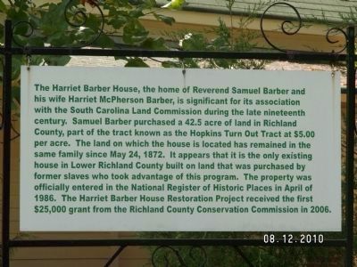
The Harriet Barber House, the home of Reverend Samuel Barber and his wife Harriet McPherson Barber, is significant for its association with the South Carolina Land Commission during the late nineteenth
century. Samuel Barber purchased a 42.5 acre of land in Richland County, part of the tract known as the Hopkins Turn Out Tract at $5.00 per acre. The land on which the house is located has remained in the same
Photographed by Mike Stroud, October 26, 2010
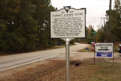
3. Harriet Barber House Marker, seen looking north along Lower Richland Blvd.
— Submitted November 18, 2010.
Photographed by Mike Stroud, October 26, 2010
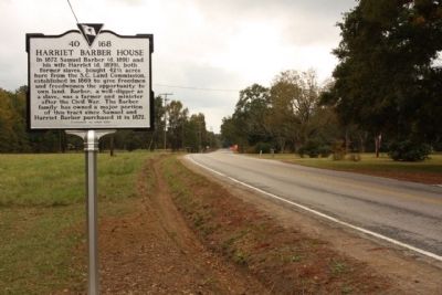
4. Harriet Barber House Marker, looking south
Photographed by Mike Stroud, October 26, 2010
5. Harriet Barber House, seen today
National Register of Historic Places:
Barber House ** (added 1986 - Building - #86000531, Plaque at right of door)
Photographed by Anna Inbody, August 12, 2010
6. Harriet Barber House
Photographed by Anna Inbody, August 12, 2010
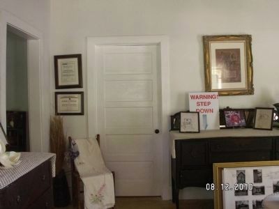
7. Harriet Barber House interior
Photographed by Anna Inbody, August 12, 2010
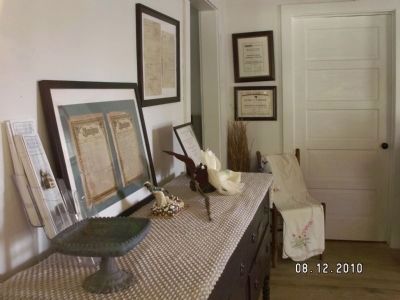
8. Harriet Barber House Interior
Photographed by Anna Inbody, August 12, 2010
9. Harriet Barber House Fact Sign
See nearby markers
Credits. This page was last revised on January 25, 2026. It was originally submitted on November 17, 2010, by Mike Stroud of Bluffton, South Carolina. This page has been viewed 1,268 times since then and 33 times this year. Photos: 1, 2, 3, 4, 5. submitted on November 17, 2010, by Mike Stroud of Bluffton, South Carolina. 6, 7, 8, 9. submitted on June 21, 2011, by Anna Inbody of Columbia, South Carolina.
