Near Darlington in Darlington County, South Carolina — The American South (South Atlantic)
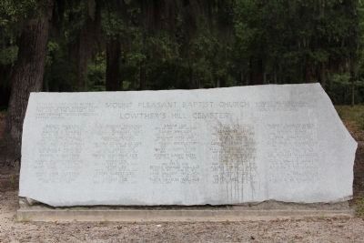
Mount Pleasant Baptist Church / Lowther's Hill Cemetery
Inscription.
Marker Front:
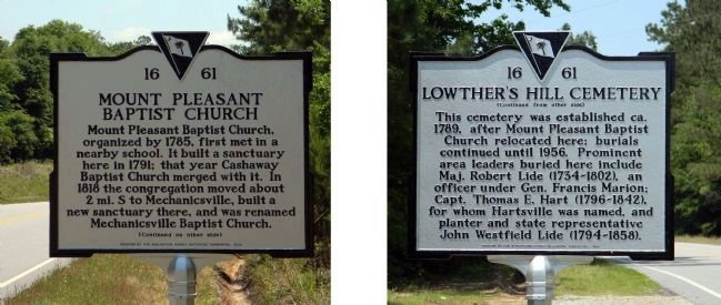
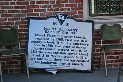
Mount Pleasant Baptist Church
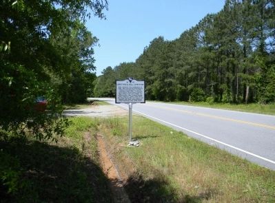
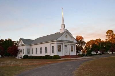
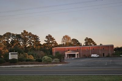
Mount Pleasant Baptist Church, organized by 1785, first met in a nearby school. It built a sanctuary here in 1791; that year Cashaway Baptist Church merged with it. In 1818 the congregation moved about 2 mi. S to Mechanicsville, built a new sanctuary there, and was renamed Mechanicsville Baptist Church.
Marker Reverse:
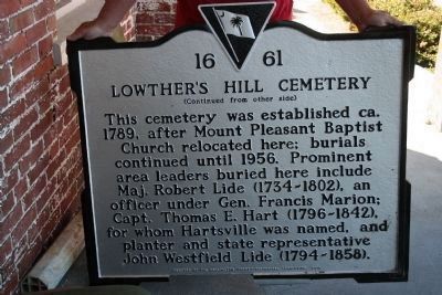
Lowther's Hill Cemetery
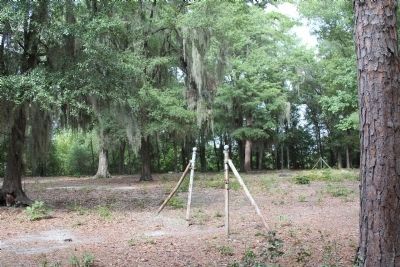
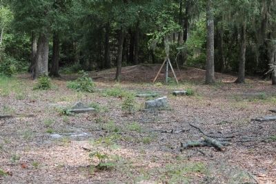
This cemetery was established ca. 1789, after Mount Pleasant Baptist Church relocated here; burials continued until 1956. Prominent area leaders buried here include Maj. Robert Lide (1734-1802), an officer under Gen. Francis Marion; Capt. Thomas E. Hart (1796-1842), for whom Hartsville was named, and planter and state representative John Westfield Lide (1794-1858).
Erected 2010 by the Darlington County Historical Commission. (Marker Number 16-61.)
Topics. This historical marker is listed in these topic lists: Cemeteries & Burial Sites • Churches & Religion. A significant historical year for this entry is 1785.
Location. 34° 21.181′ N, 79° 44.469′ W. Marker is near Darlington, South Carolina, in Darlington County. Marker is on Cashua Ferry Road (State Highway 34) 0.2 miles east of Georgetown Road (State Highway 495), on the right when traveling east. Touch for map. Marker is in this post office area: Darlington SC 29532, United States of America. Touch for directions.
Other nearby markers. At least 8 other markers are within 6 miles of this marker, measured as the crow flies. Lamuel Benton (about 600 feet away, measured in a direct line); Evan Pugh (approx. 2˝ miles away); Pleasant Grove Church (approx. 4.9 miles away); Mont Clare Community Center (approx. 5.3 miles away); Roseville Plantation Slave And Freedman's Cemetery / Clarke Cemetery (approx. 5.4 miles away); Ney School / Back Swamp School (approx. 5.6 miles away); Roseville Plantation (approx. 5.7 miles away); John Westfield Lide House (approx. 6.1 miles away).
More about this marker. The marker damaged in the summer of 2010 and stored at Darlington County Historical Commission until it was repaired and returned to its location on Cashua Ferry Road
Credits. This page was last revised on November 15, 2020. It was originally submitted on November 17, 2010, by David Bullard of Seneca, South Carolina. This page has been viewed 1,395 times since then and 36 times this year. Photos: 1. submitted on May 10, 2011, by PaulwC3 of Northern, Virginia. 2, 3, 4. submitted on November 17, 2010, by David Bullard of Seneca, South Carolina. 5. submitted on May 10, 2011, by PaulwC3 of Northern, Virginia. 6. submitted on November 17, 2010, by David Bullard of Seneca, South Carolina. 7, 8, 9. submitted on October 3, 2011, by David Bullard of Seneca, South Carolina. 10. submitted on November 17, 2010, by David Bullard of Seneca, South Carolina. • Bill Pfingsten was the editor who published this page.
Editor’s want-list for this marker. Photos of the site of the Mount Pleasant Baptist Church, graves of Maj. Robert Lide, Capt. Thomas E. Hart, and John Westfield Lide • Can you help?
