Dover in Stewart County, Tennessee — The American South (East South Central)
Life at Fort Donelson
Photographed by Craig Swain, September 4, 2010
1. Life at Fort Donelson Marker
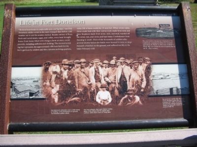
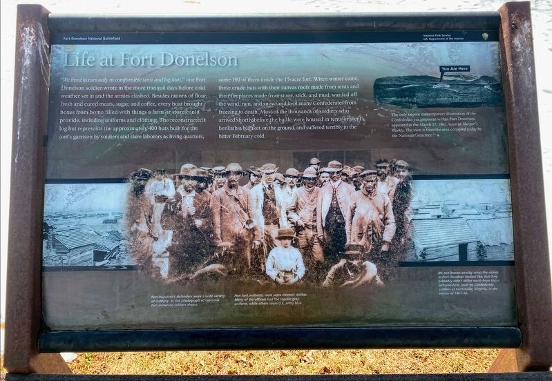
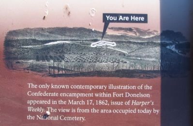
The only known contemporary illustration of the Confederate encampment within Fort Donelson appeared in the March 17, 1862, issue of Harper's Weekly. The view is from the area occupied today by the National
this page online
Fort Donelson's defenders wore a wide variety of clothing, as this photograph of captured Fort Donelson soldiers shows.
Few had uniforms, most wore citizens' clothes. Many of the officers had the regular gray uniform, while others wore U.S. Army blue.
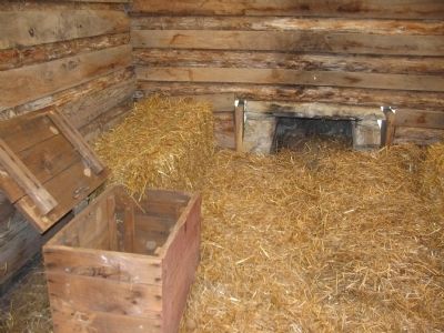
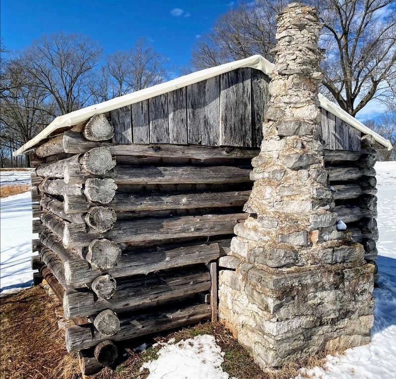
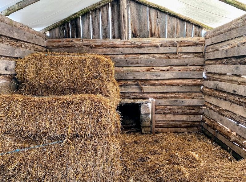
No one knows exactly what the cabins at Fort Donelson looked like, but they probably didn't differ much from those pictured here, built by Confederate soldiers of Centreville, Virginia in the winter of 1861-62.
Erected by Fort Donelson National Battlefield - National Park Service - Department of the Interior.
Topics. This historical marker is listed in this topic list: War, US Civil. A significant historical month for this entry is March 1840.
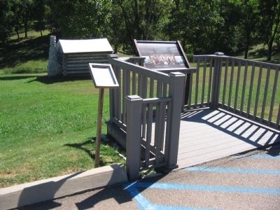
Location. 36° 29.579′ N, 87° 51.4′ W. Marker is in Dover, Tennessee, in Stewart County. It is on Fort Donelson Park Road, on the left when traveling east. Located at tour stop three, the log huts, on the driving tour of Fort Donelson National Battlefield. Touch for map. Marker is in this post office area: Dover TN 37058, United States of America. Touch for directions.

Regionally, this marker is in Middle Tennessee and in the Highland Rim.
Photographed by Shane Oliver, February 21, 2021
2. Life at Fort Donelson Marker
Other nearby markers. At least 8 other markers are within walking distance of this marker: Stankiewicz's Battery (within shouting distance of this marker); Powder Magazine (about 600 feet away, measured in a direct line); Gun Positions (about 600 feet away); The River Batteries (about 700 feet away); Control the Rivers and Railroads (about 700 feet away); Foote's Gunboat Flotilla (about 700 feet away); Exchanging Iron Valentines (about 700 feet away); Reconstructed Powder Magazine (about 700 feet away). Touch for a list and map of all markers in Dover.
Another marker is no longer nearby. Quarters for the Troops (was here, next to this marker but has been permanently removed).
Also see . . . Fort Donelson. National Park Service site. (Submitted on November 18, 2010, by Craig Swain of Leesburg, Virginia.)
Photographed by Craig Swain, September 4, 2010
3. Newspaper Sketch of the Fort
Photographed by Craig Swain, September 4, 2010
4. Tour Stop Three
Photographed by Craig Swain, September 4, 2010
5. Interior of the Recreated Log Hut
Photographed by Craig Swain, September 4, 2010
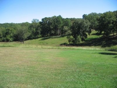
6. Location of the Camp
Photographed by Shane Oliver, February 21, 2021
7. Confederate Log Hut at Fort Donelson
Photographed by Shane Oliver, February 21, 2021
8. Inside the Confederate Log Hut at Fort Donelson
Credits. This page was last revised on May 10, 2021. It was originally submitted on November 18, 2010, by Craig Swain of Leesburg, Virginia. This page has been viewed 854 times since then and 28 times this year. Photos: 1. submitted on November 18, 2010, by Craig Swain of Leesburg, Virginia. 2. submitted on May 10, 2021, by Shane Oliver of Richmond, Virginia. 3, 4, 5, 6. submitted on November 18, 2010, by Craig Swain of Leesburg, Virginia. 7, 8. submitted on May 10, 2021, by Shane Oliver of Richmond, Virginia.
