Dover in Stewart County, Tennessee — The American South (East South Central)
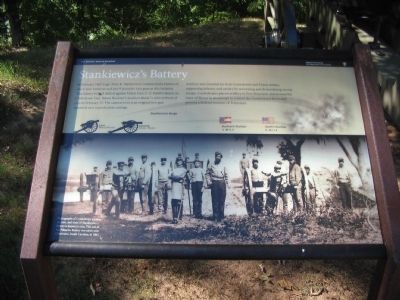
Stankiewicz's Battery
Photographed by Craig Swain, September 4, 2010
1. Stankiewicz's Battery Marker
Artillery was essential for both Confederate and Union armies, supporting infantry and cavalry by terrorizing and demoralizing enemy troops. Confederates placed artillery in Fort Donelson and around the town of Dover in an attempt to control the Cumberland River and prevent a Federal invasion of Tennessee.
Photographs of Confederate artillery are rare, and none of Stankiewicz's Battery is known to exist. This one of the Palmetto Battery was taken near Charleston, South Carolina, in 1863.
Erected by Fort Donelson National Battlefield - National Park Service - Department of the Interior.
Topics. This historical marker is listed in this topic list: War, US Civil. A significant historical month for this entry is February 1862.
Location. 36° 29.58′ N, 87° 51.451′ W. Marker
this page online

Regionally, this marker is in Middle Tennessee and in the Highland Rim. It is also in the American South and specifically in the Upper South. Globally, it is in North America, the Western Hemisphere, the Western World, and the Anglosphere. Historically, it finds itself in what was once the territory of the Mississippian Culture, one of the Confederate States of America, and the Antebellum South.
Other nearby markers. At least 8 other markers are within walking distance of this marker: Life at Fort Donelson (within shouting distance of this marker); Columbiad vs. Carondelet (about 700 feet away, measured in a direct line); Gun Positions (about 700 feet away); Control the Rivers and Railroads (about 800 feet away); Exchanging Iron Valentines (about 800 feet away); Powder Magazine (about 800 feet away);
Photographed by Craig Swain, September 4, 2010
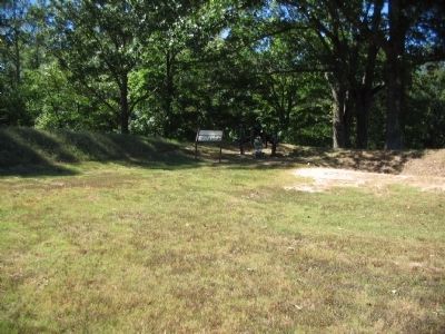
2. Stankiewicz's Battery Marker
Another marker is no longer nearby. Quarters for the Troops (was within shouting distance of this marker but has been permanently removed).
Also see . . . Fort Donelson. National Park Service site. (Submitted on November 20, 2010, by Craig Swain of Leesburg, Virginia.)
Photographed by Craig Swain, September 4, 2010
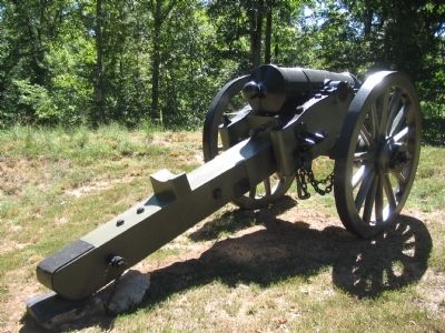
3. 8-inch Siege Howitzer
This Model 1840 siege howitzer was cast in 1846 by West Point Foundry. It was assigned registry number 7.
Photographed by Shane Oliver, February 21, 2021
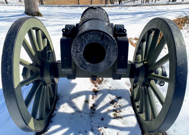
4. Siege Artillery Piece near the Marker.
Photographed by Shane Oliver, February 21, 2021
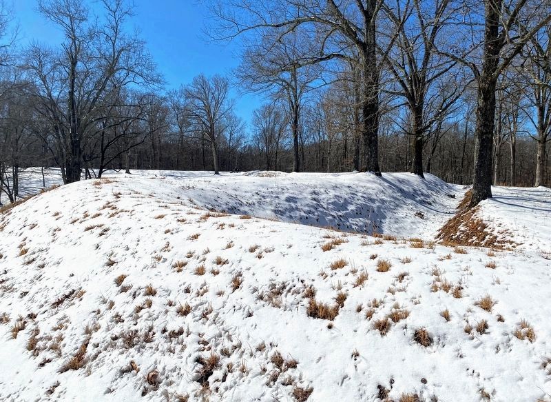
5. Fort Donelson Earthworks
Credits. This page was last revised on May 10, 2021. It was originally submitted on November 20, 2010, by Craig Swain of Leesburg, Virginia. This page has been viewed 1,129 times since then and 54 times this year. Photos: 1, 2, 3. submitted on November 20, 2010, by Craig Swain of Leesburg, Virginia. 4, 5. submitted on May 10, 2021, by Shane Oliver of Richmond, Virginia.
