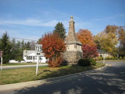
Upper Marlboro in Prince George's County, Maryland — The American Northeast (Mid-Atlantic)
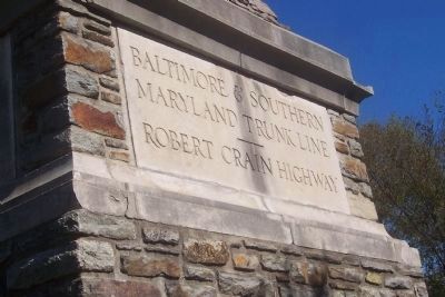
Baltimore-Southern Maryland Trunk Line
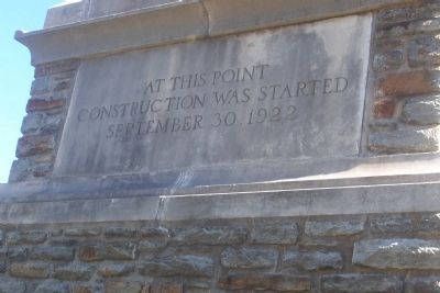
Inscription.
Robert Crain Highway
At this point construction was started 1922.
Topics. This historical marker is listed in this topic list: Roads & Vehicles. A significant historical year for this entry is 1922.
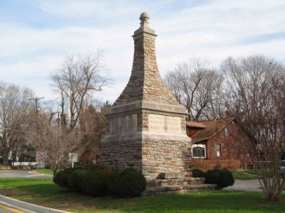
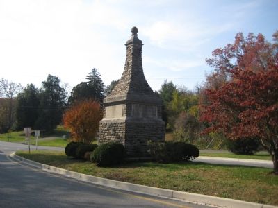
Location. 38° 48.924′ N, 76° 45.251′ W. Marker is in Upper Marlboro, Maryland, in Prince George's County. Marker is at the intersection of Old Crain Highway and Main Street (Maryland Route 725), in the median on Old Crain Highway. Touch for map. Marker is in this post office area: Upper Marlboro MD 20772, United States of America. Touch for directions.
Other nearby markers. At least 8 other markers are within walking distance of this marker. Marlborough (a few steps from this marker); Thomas John Claggett, D.D. (about 400 feet away, measured in a direct line); British Disgrace (about 500 feet away); The Site of the Residence of Dr. William Beanes (approx. 0.2 miles away); Marlboro Academy (approx. 0.2 miles away); Turn of Events (approx. 0.2 miles away); Dr. William Beanes (approx. 0.2 miles away); William Beanes (approx. 0.2 miles away). Touch for a list and map of all markers in Upper Marlboro.
Regarding Baltimore-Southern Maryland Trunk Line. Originally known as the Baltimore-Southern Maryland Trunk Line, it was renamed Robert Crain Highway after its most fervent supporter. Ground was broken for this concrete-paved highway on September 30, 1922. The highway made travel speedy and convenient for both farmers transporting goods to Baltimore, and for passengers doing business or visiting southern Maryland. Many parts of the original roadway have been bypassed and renamed Old Crain Highway, including the stretch through the town of Upper Marlboro where this marker is located.
Credits. This page was last revised on January 12, 2020. It was originally submitted on November 29, 2007, by F. Robby of Baltimore, Maryland. This page has been viewed 1,294 times since then and 14 times this year. Photos: 1, 2. submitted on October 25, 2008, by Richard E. Miller of Oxon Hill, Maryland. 3, 4, 5. submitted on November 29, 2007, by F. Robby of Baltimore, Maryland.
