Dover in Stewart County, Tennessee — The American South (East South Central)
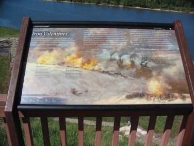
Exchanging Iron Valentines
H.W. Dudley, Taylor's Battery, McClernand's Division
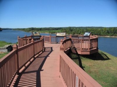
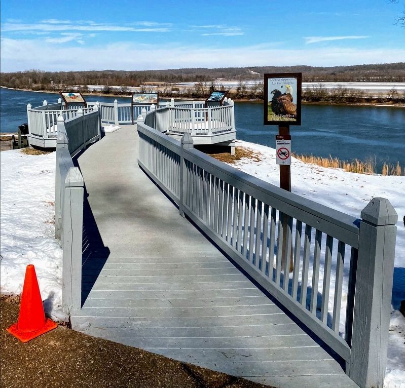
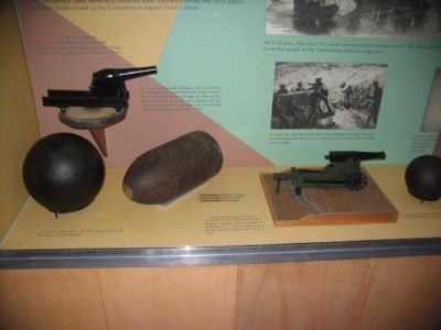
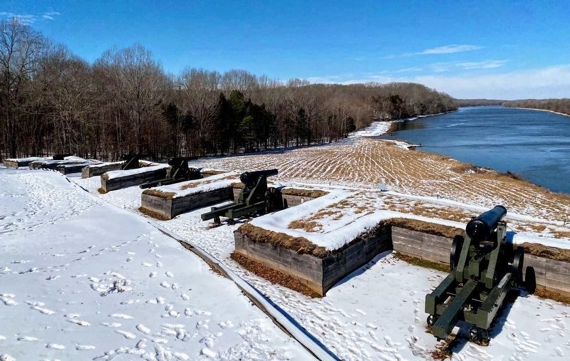
Before building Fort Donelson, Confederates built two river batteries along the Cumberland River to defend the water approach to the major supply centers of Clarksville and Nashville. One, the Upper River Battery, is located several hundred feet to your right. The other, reconstructed here, was known as the Lower River Battery. Both were armed with heavy seacoast artillery, manned by inexperienced gunners. This battery contained eight 32-pounder cannon and, on the extreme left, one 10-inch Columbiad.
On February 14, 1862, Flag Officer Andrew Hull Foote's Union gunboat flotilla rounded the bend in the distance and steamed up the Cumberland to exchange "iron valentines" with the water batteries. Using the tactics that proved successful at Fort Henry a week earlier, Foote maneuvered his gunboats very close, intending to shell the batteries into submission. The cumbersome vessels, however, moved so slowly that they became excellent targets for the untested Confederate artillerymen and were forced to withdraw.
(Notations on the background illustration, from left to right):
10-inch Columbiad
This impressive weapon could hurl a 128-pound projectile over three miles, but was not as effective as the combined firepower of the 32-pounder smoothbores, or the 6.5-inch rifle in the Upper River Battery.
32-pounder Smoothbores
Arranged in two batteries of four guns each, these cannon, capable of firing a 32-pound shot up to a mile, inflicted most of the damage on the Union gunboats.
Timberclads
The timberclads played no significant part in the attack on the river batteries
Tyler • Conestoga
Lower River Battery
Upper River Battery
6.5-inch Rifle
Union Ironclad Gunboats They weren't invincible
Despite the gunboats' reputation and protective armor, the Confederate river batteries pummeled the Union fleet in a 90-minute battle during which, as Flag Officer Foote put it, they were "all cut up." From a total of just under 400 rounds fired, Confederate gunners hit the St. Louis, Foote's flagship, 59 times, the Carondelet 54 times, the Louisville 36 times, and the Pittsburg 20 times.
St. Louis • Louisville • Pittsburg • Carondelet
Erected by Fort Donelson National Battlefield - National Park Service - Department of the Interior.
Topics. This historical marker is listed in this topic list: War, US Civil. A significant historical month for this entry is February 1980.
Location. 36° 29.689′ N, 87° 51.373′ W. Marker is in Dover, Tennessee, in Stewart County. Marker is on Lock D Loop, on the right when traveling north. Located at stop 4, the river batteries, on the driving tour of Fort Donelson National Battlefield. Touch for map. Marker is in this post office area: Dover TN 37058, United States of America. Touch for directions.
Other nearby markers. At least 8 other markers are within walking distance of this marker. Control the Rivers and Railroads (here, next to this marker); Foote's Gunboat Flotilla (here, next to this marker); Reconstructed Powder Magazine (here, next to this marker); See Me Take a Chimney! (a few steps from this marker); Killed By a Loose Bolt (within shouting distance of this marker); The River Batteries (within shouting distance of this marker); Gun Positions (within shouting distance of this marker); U.S. Gunboat Carondelet (within shouting distance of this marker). Touch for a list and map of all markers in Dover.
Also see . . . Fort Donelson. National Park Service site. (Submitted on November 24, 2010, by Craig Swain of Leesburg, Virginia.)
Photographed By Craig Swain, September 4, 2010
4. Ironclads Against the Batteries
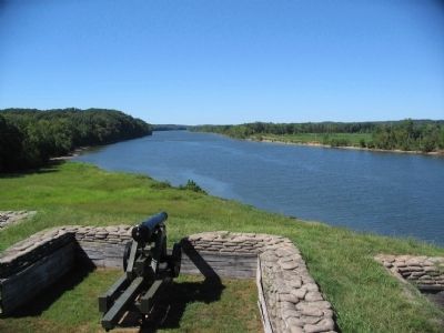
Looking over one of the remounted 32-pdr guns downstream on the Cumberland River. The river is actually a bit wider than at the time of the war, due to Barkley Dam downstream. Foote's gunboats rounded the bend in the distance on February 14, 1862 and exchanged fire with the Confederate batteries while maneuvering in the main channel of the river.
Credits. This page was last revised on May 10, 2021. It was originally submitted on November 24, 2010, by Craig Swain of Leesburg, Virginia. This page has been viewed 1,243 times since then and 21 times this year. It was the Marker of the Week February 14, 2016. Photos: 1. submitted on November 24, 2010, by Craig Swain of Leesburg, Virginia. 2. submitted on November 23, 2010, by Craig Swain of Leesburg, Virginia. 3. submitted on May 10, 2021, by Shane Oliver of Richmond, Virginia. 4, 5. submitted on November 24, 2010, by Craig Swain of Leesburg, Virginia. 6. submitted on May 10, 2021, by Shane Oliver of Richmond, Virginia.
