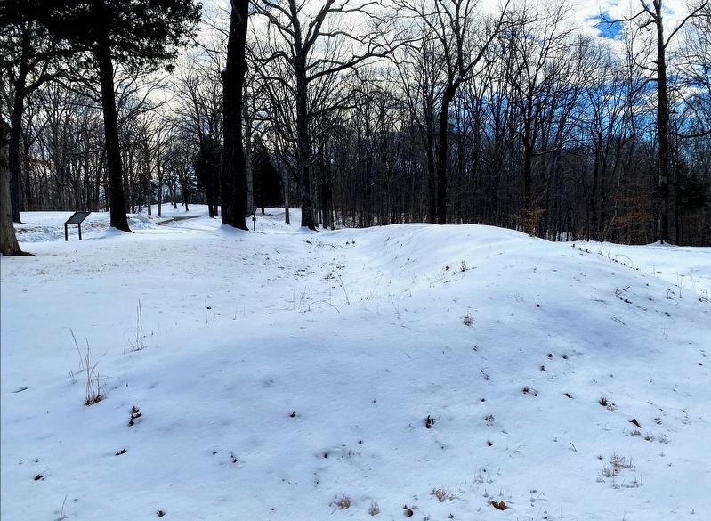
Dover in Stewart County, Tennessee — The American South (East South Central)
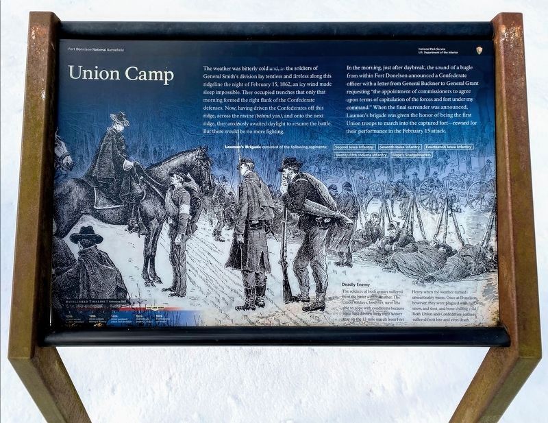
Union Camp
In the morning, just after daybreak, the sound of a bugle from within Fort Donelson announced a Confederate officer with a letter from General Buckner to General Grant requesting "the appointment of commissioners to agree upon terms of capitulation of the forces and fort under my command." When the final surrender was announced, Lauman's brigade was given the honor of being the first Union troops to march into the captured fort - reward for their performance in the February 15 attack.
Lauman's Brigade consisted of the following regiments:
Second Iowa Infantry
Seventh Iowa Infantry
Fourteenth Iowa Infantry
Twenty-fifth Indiana Infantry
Birge's Sharshooters
Deadly Enemy
The soldiers of both armies suffered from the bitter winter weather. The Union soldiers, however, were less able to cope with conditions because some had thrown away their winter gear on the 12-mile march from Fort Henry when the weather turned unseasonably warm. Once at Donelson, however, they were plagued with rain, snow, and sleet, and bone chilling cold. Both Union and Confederate soldiers suffered frost bite and even death.
Erected by National Park Service, U.S. Department of the Interior.
Topics and series. This historical marker is listed in this topic list: War, US Civil. In addition, it is included in the Former U.S. Presidents: #18 Ulysses S. Grant series list. A significant historical date for this entry is February 15, 1692.
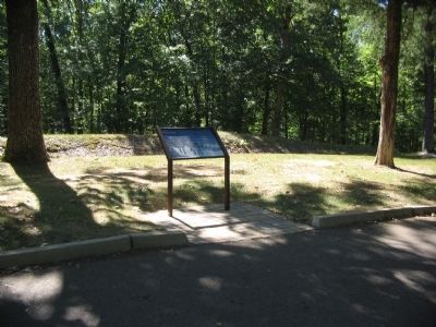
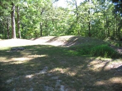
Location. 36° 29.175′ N, 87° 51.916′ W. Marker is in Dover, Tennessee, in Stewart County. Marker is on Eddyville Spur Road, on the right when traveling south. Located at stop seven, Smith's Attack, on the driving tour of Fort Donelson Battlefield Park. Touch for map. Marker is in this post office area: Dover TN 37058, United States of America. Touch for directions.
Other nearby markers. At least 8 other markers are within walking distance of this marker. Lauman's Brigade (a few steps from this marker); Seizing the Initiative (about 700 feet away, measured in a direct line); Jackson's Virginia Battery (about 800 feet away); Fort Donelson Confederate Monument (approx. 0.2 miles away); Confederate Monument (approx. 0.2 miles away); Buckner's Division (approx. 0.2 miles away); Buckner's Defense (approx. ¼ mile away); Porter's Battery (approx. 0.3 miles away). Touch for a list and map of all markers in Dover.
Also see . . . Fort Donelson. National Park Service site. (Submitted on November 25, 2010, by Craig Swain of Leesburg, Virginia.)
Credits. This page was last revised on May 10, 2021. It was originally submitted on November 25, 2010, by Craig Swain of Leesburg, Virginia. This page has been viewed 713 times since then and 10 times this year. Photos: 1. submitted on May 10, 2021, by Shane Oliver of Richmond, Virginia. 2, 3, 4. submitted on November 25, 2010, by Craig Swain of Leesburg, Virginia. 5. submitted on May 10, 2021, by Shane Oliver of Richmond, Virginia.
