Ironton in Iron County, Missouri — The American Midwest (Upper Plains)
Battle of Pilot Knob
September 26-27, 1864
Photographed by Homer Swain, September 25, 2010
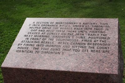
1. Battle of Pilot Knob Marker
Left side stone.
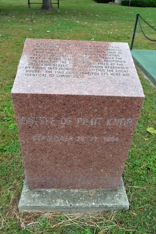
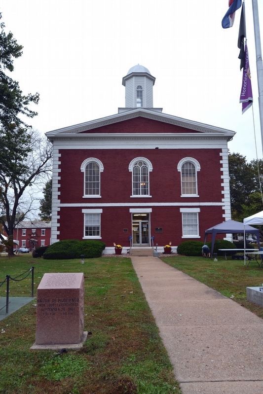
A section of Montgomery's Battery, two 3-inch Ordnance Rifles, under Lt. Simonton, helped drive the rebels back into Shut-In Gap and held them there until fighting ceased at sunset on the 26th. Early the next morning, Simonton's guns, positioned in front of the courthouse, fired at the attacking rebels. Rebel cannon responded by firing into Ironton and hitting the court house. The two guns that you see here are identical to Simonton's.
Topics. This historical marker is listed in this topic list: War, US Civil. A significant historical date for this entry is September 26, 1863.
Location. 37° 35.866′ N, 90° 37.667′ W. Marker is in Ironton, Missouri, in Iron County. It is at the intersection of South Main Street and Wayne Street, on the right when traveling south on South Main Street. Located in front of the Iron County Courthouse. Touch for map. Marker is in this post office area: Ironton MO 63650, United States of America. Touch for directions.

Regionally, this marker is in Southeast Missouri. It is also in the American Ozarks, in the Lewis & Clark Corridor, and in the Corn Belt. Globally, it is in North America, the Western Hemisphere,
this page online
Other nearby markers. At least 8 other markers are within walking distance of this marker: Iron County Courthouse (here, next to this marker); VFW Post 5527 Veterans Memorial (a few steps from this marker); Iron County Missouri Courthouse Complex (a few steps from this marker); War In The Arcadia Valley (a few steps from this marker); Iron County - The "Birthplace of 4-H" in Missouri (a few steps from this marker); General Grant Commission Commemorative (approx. 0.2 miles away); Fort Curtis (approx. half a mile away); The Arcadia Valley (approx. 0.8 miles away). Touch for a list and map of all markers in Ironton.
More about this marker. The markers are two of 16 Missouri red granite historical markers interpreting the Battle of Pilot Knob and are Markers #5 and #6 on the Battle of Pilot Knob Driving Tour.
Also see . . . Battle of Pilot Knob State Historic Site map. Missouri State Parks website entry (Submitted on October 26, 2016, by Duane Hall of Abilene, Texas.)
Photographed by Duane Hall, October 14, 2016
2. Battle of Pilot Knob — Montgomery's Battery Marker
Photographed by Homer Swain, September 25, 2010
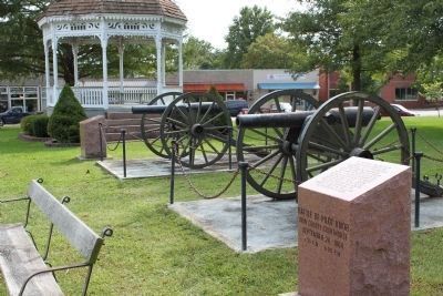
3. Marker Stones and Cannons
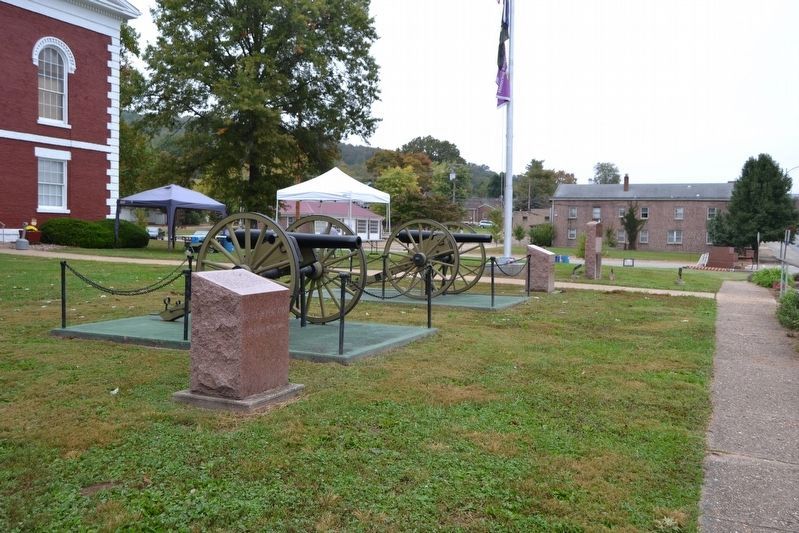
The guns are 3-inch Ordnance Rifles produced by Phoenix Iron Works of Phoenixville, Pennsylvania in 1862. They are registry numbers 328 and 382.
Photographed by Duane Hall, October 14, 2016
4. Marker Stones and Cannons

Photographed by Duane Hall, October 14, 2016
5. Iron County Courthouse
Photographed by Duane Hall, October 14, 2016
6. Cannonball Damage on Courthouse
Credits. This page was last revised on March 2, 2026. It was originally submitted on November 27, 2010, by Craig Swain of Leesburg, Virginia. This page has been viewed 1,445 times since then and 126 times this year. Photos: 1. submitted on November 27, 2010, by Craig Swain of Leesburg, Virginia. 2. submitted on October 26, 2016, by Duane Hall of Abilene, Texas. 3. submitted on November 27, 2010, by Craig Swain of Leesburg, Virginia. 4, 5, 6. submitted on October 26, 2016, by Duane Hall of Abilene, Texas.
